La Coste, TX
Advertisement
La Coste, TX Map
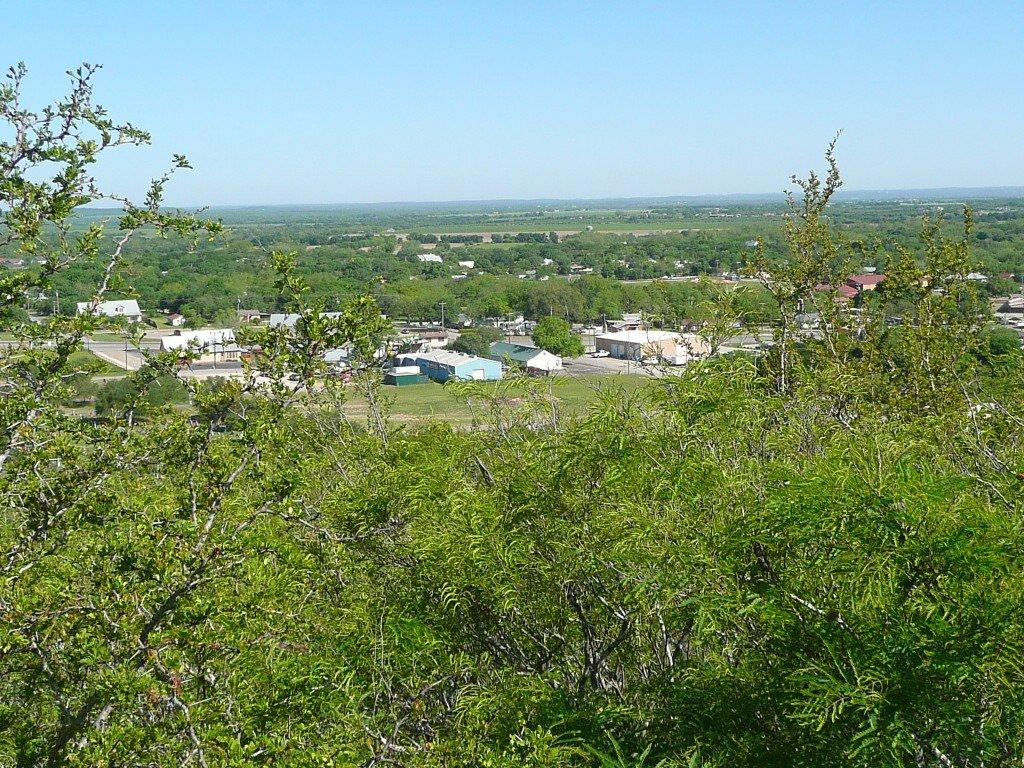
La Coste is a US city in Medina County in the state of Texas. Located at the longitude and latitude of -98.812800, 29.311400 and situated at an elevation of 217 meters. In the 2020 United States Census, La Coste, TX had a population of 1,077 people. La Coste is in the Central Standard Time timezone at Coordinated Universal Time (UTC) -6. Find directions to La Coste, TX, browse local businesses, landmarks, get current traffic estimates, road conditions, and more.
La Coste, Texas, is a small city known for its quaint charm and deep-rooted history. Established in the early 20th century, La Coste has maintained a rural ambiance that reflects its agricultural heritage. The city is particularly noted for its community spirit and traditional events that bring residents together, offering a glimpse into the Texas of yesteryear. Visitors to La Coste often appreciate the peaceful atmosphere and the chance to experience the slower pace of life that the area offers.
Among the notable places within La Coste is the St. Mary's Catholic Church, a historic structure that stands as a testament to the city's cultural and religious heritage. The church is a focal point for many community activities and is admired for its architectural beauty. Additionally, the city hosts local events that often highlight its agricultural roots, providing an opportunity to engage with the local community and explore the traditions that have shaped this charming Texas town. While La Coste may not boast sprawling attractions, its appeal lies in its simplicity and the authentic Texan experience it offers.
Nearby cities include: Castroville, TX, Lytle, TX, Natalia, TX, Von Ormy, TX, Somerset, TX, Devine, TX, Leon Valley, TX, Bigfoot, TX, Helotes, TX, Balcones Heights, TX.
Places in La Coste
Dine and drink
Eat and drink your way through town.
Can't-miss activities
Culture, natural beauty, and plain old fun.
Places to stay
Hang your (vacation) hat in a place that’s just your style.
Advertisement


