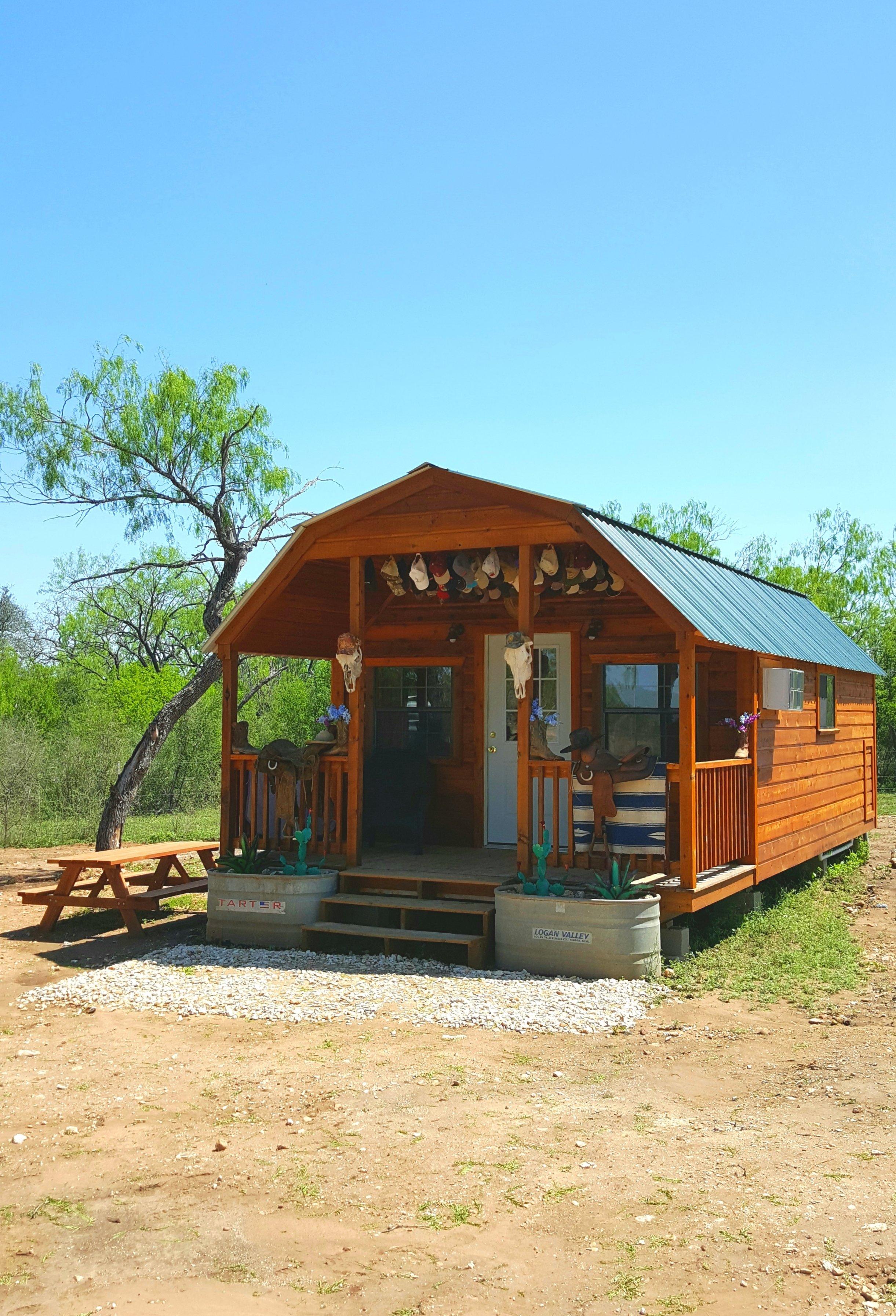
Devine, TX
Advertisement
Devine, TX Map
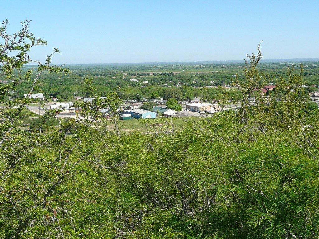
Devine is a US city in Medina County in the state of Texas. Located at the longitude and latitude of -98.906100, 29.143900 and situated at an elevation of 197 meters. In the 2020 United States Census, Devine, TX had a population of 4,324 people. Devine is in the Central Standard Time timezone at Coordinated Universal Time (UTC) -6. Find directions to Devine, TX, browse local businesses, landmarks, get current traffic estimates, road conditions, and more.
Devine, Texas, is a small city that exudes a charming, rural atmosphere with a touch of historical significance. Known for its close-knit community and agricultural roots, Devine offers visitors a glimpse into the tranquil lifestyle of South Texas. The city is perhaps best recognized for its connection to the railroad industry, which was pivotal to its development in the late 19th century. This historical backdrop is reflected in the city’s architecture and local culture, making it a fascinating destination for those interested in Texas's past.
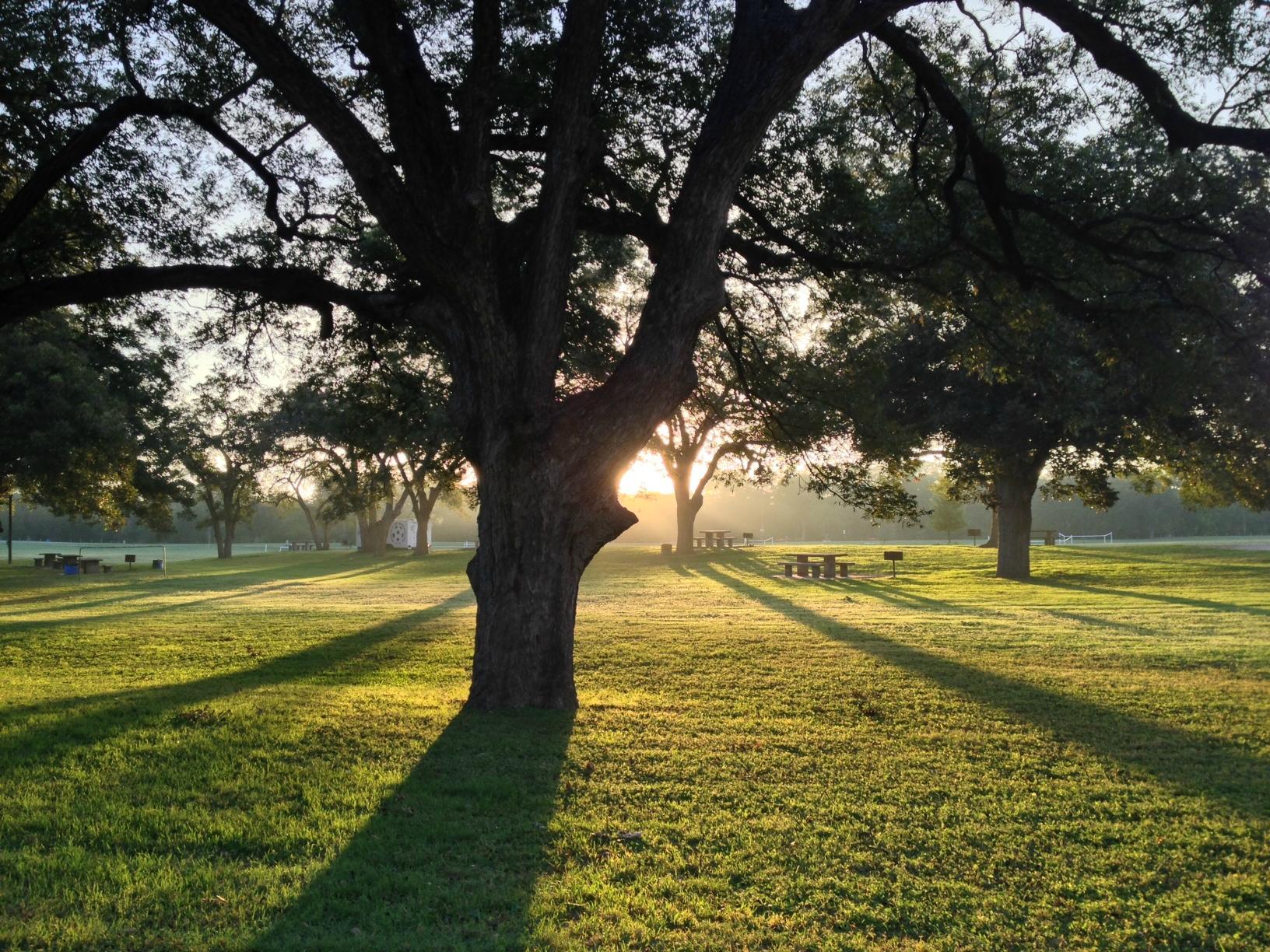
Visitors to Devine can explore local attractions such as the Devine Golf Course, a well-maintained facility that provides a relaxing setting for golf enthusiasts. Nature lovers can enjoy the serene surroundings of Devine City Park, which offers ample space for picnics and leisurely strolls. The city is also home to various community events throughout the year, which celebrate local heritage and foster community spirit. Whether you're a history buff or simply seeking a peaceful retreat, Devine holds a unique appeal with its blend of tradition and hospitality.
Nearby cities include: Natalia, TX, Bigfoot, TX, Moore, TX, Lytle, TX, La Coste, TX, Castroville, TX, Yancey, TX, Somerset, TX, Von Ormy, TX, Hondo, TX.
Places in Devine
Dine and drink
Eat and drink your way through town.
Can't-miss activities
Culture, natural beauty, and plain old fun.
Places to stay
Hang your (vacation) hat in a place that’s just your style.
Advertisement


