Gautier, MS
Advertisement
Gautier, MS Map
Gautier is a US city in Jackson County in the state of Mississippi. Located at the longitude and latitude of -88.644200, 30.381700 and situated at an elevation of 2 meters. In the 2020 United States Census, Gautier, MS had a population of 19,024 people. Gautier is in the Central Standard Time timezone at Coordinated Universal Time (UTC) -6. Find directions to Gautier, MS, browse local businesses, landmarks, get current traffic estimates, road conditions, and more.
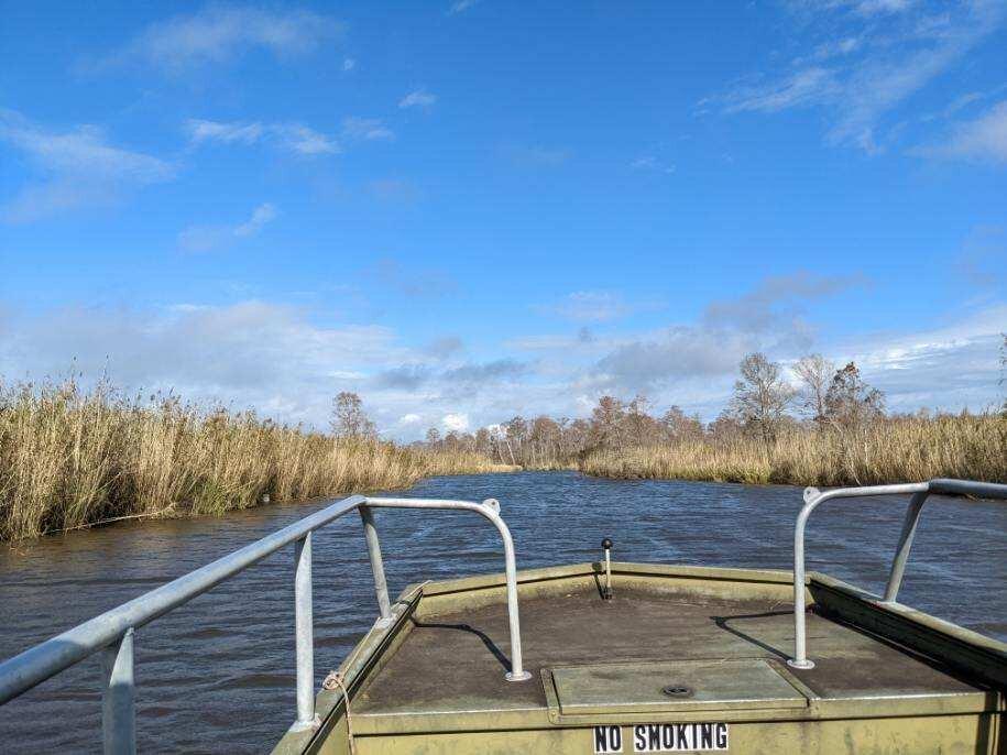
Gautier, Mississippi, is a city that exudes a charming blend of natural beauty and Southern hospitality. Known for its lush landscapes and proximity to the Gulf Coast, Gautier offers a peaceful retreat with a touch of adventure for outdoor enthusiasts. The city is renowned for its access to the Mississippi Sandhill Crane National Wildlife Refuge, where visitors can observe the rare and majestic sandhill cranes in their natural habitat. This refuge is a sanctuary for wildlife and a testament to the city's commitment to preserving its natural surroundings.
In addition to its natural attractions, Gautier is home to Shepard State Park, a popular spot for camping, hiking, and picnicking amidst serene woodlands. The park provides a perfect setting for families and nature lovers to explore the outdoors. History buffs might appreciate the city's connection to the early French settlers in the area, as reflected in its name, which is a nod to the French heritage that permeates the Gulf Coast region. Whether you're drawn to its outdoor offerings or its quiet charm, Gautier provides a unique slice of Mississippi life.
Nearby cities include: Hickory Hills, MS, Pascagoula, MS, Moss Point, MS, Gulf Park Estates, MS, Ocean Springs, MS, Vancleave, MS, St. Martin, MS, Biloxi, MS, D'Iberville, MS, Grand Bay, AL.
Places in Gautier
Dine and drink
Eat and drink your way through town.
Can't-miss activities
Culture, natural beauty, and plain old fun.
Places to stay
Hang your (vacation) hat in a place that’s just your style.
Advertisement


