Biloxi, MS
Advertisement
Biloxi Map
Biloxi is a city in Harrison County, Mississippi, in the United States. The 2000 census recorded the population as 50,644, although the 2008 Census Estimate placed the population at 45,670. Along with Gulfport, Biloxi is a county seat of Harrison County.
The city is part of the Gulfport-Biloxi metropolitan area and the Gulfport-Biloxi-Pascagoula, Mississippi Combined Statistical Area. Pre-Katrina, Biloxi was the third largest city in Mississippi; but with its population losses following that storm, Hattiesburg now has that distinction.
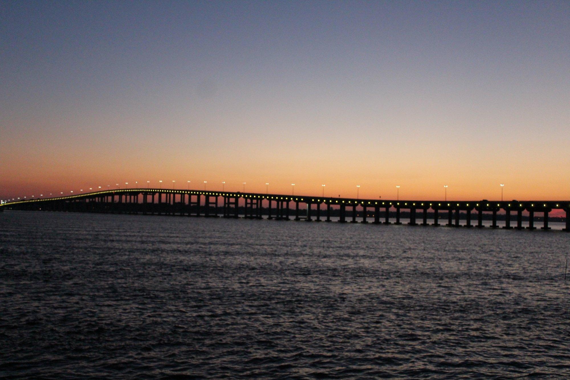
The beachfront of Biloxi lies directly on the Mississippi Sound, with barrier islands scattered off the coast and into the Gulf of Mexico.
Nearby cities include Gulfport, Gautier, Vancleave, Long Beach, Ocean Springs.
Places in Biloxi
Dine and drink
Eat and drink your way through town.
Can't-miss activities
Culture, natural beauty, and plain old fun.
Places to stay
Hang your (vacation) hat in a place that’s just your style.
Advertisement


