New Gloucester, ME
Advertisement
New Gloucester, ME Map
New Gloucester is a US city in Cumberland County in the state of Maine. Located at the longitude and latitude of -70.282550, 43.962850 and situated at an elevation of 137 meters. In the 2020 United States Census, New Gloucester, ME had a population of 5,676 people. New Gloucester is in the Eastern Standard Time timezone at Coordinated Universal Time (UTC) -5. Find directions to New Gloucester, ME, browse local businesses, landmarks, get current traffic estimates, road conditions, and more.
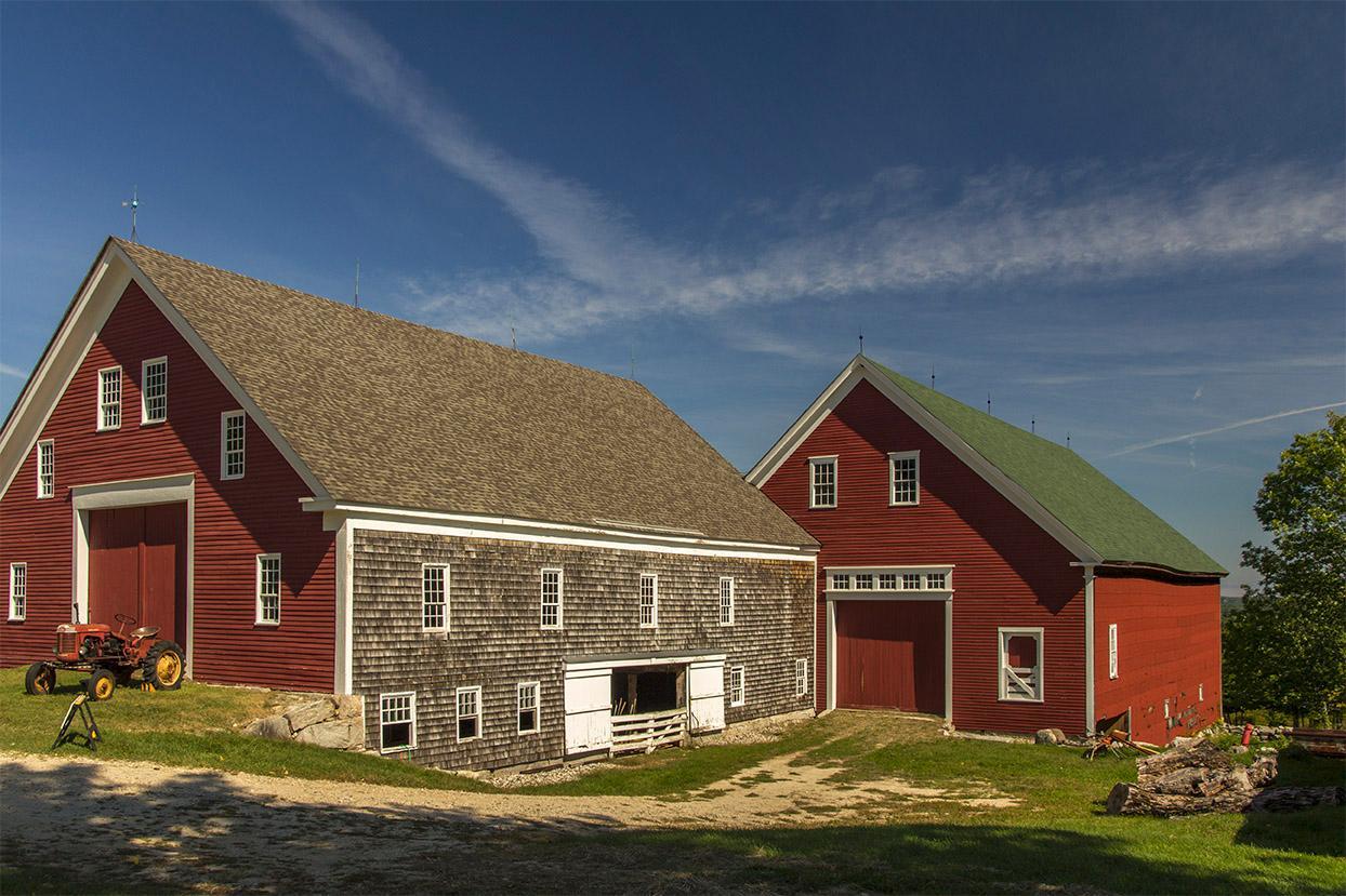
New Gloucester, located in the state of Maine, is a town steeped in history and rustic charm, known for its picturesque landscapes and historical significance. One of the notable attractions in New Gloucester is the Sabbathday Lake Shaker Village, the last active Shaker community in the world. Visitors can explore the village to learn about the Shaker way of life and enjoy a variety of cultural and educational programs. The town is also home to the Pineland Farms, a vast working farm offering a range of outdoor activities including hiking, cross-country skiing, and equestrian events, making it a hub for both agriculture and recreation.
Historically, New Gloucester was settled in the mid-18th century and has retained much of its historical architecture and rural character. The town's history is well-preserved in its buildings and landscapes, providing a glimpse into New England's past. Additionally, the Thompson's Orchard is a popular spot for apple picking and enjoying the fall foliage, capturing the quintessential New England experience. The combination of its historical roots, active cultural sites, and natural beauty makes New Gloucester a unique destination for those seeking both relaxation and a touch of history.
Nearby cities include: Gray, ME, Minot, ME, Poland, ME, Auburn, ME, Lewiston, ME, Raymond, ME, Lisbon, ME, Lisbon Falls, ME, Mechanic Falls, ME, Freeport, ME.
Places in New Gloucester
Dine and drink
Eat and drink your way through town.
Can't-miss activities
Culture, natural beauty, and plain old fun.
Places to stay
Hang your (vacation) hat in a place that’s just your style.
Advertisement


