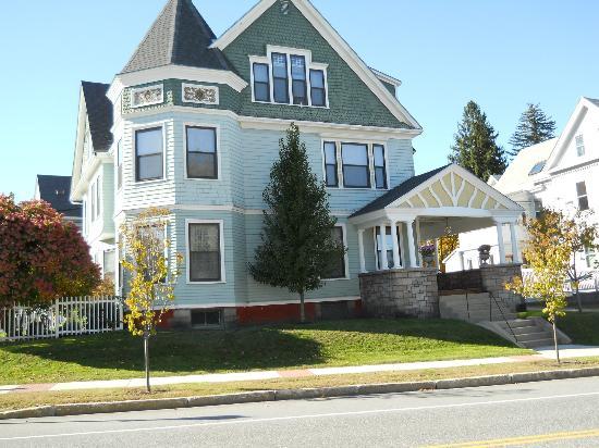
Lewiston, ME
Advertisement
Lewiston, ME Map
Lewiston is a US city in Androscoggin County in the state of Maine. Located at the longitude and latitude of -70.215278, 44.100556 and situated at an elevation of 66 meters. In the 2020 United States Census, Lewiston, ME had a population of 37,121 people. Lewiston is in the Eastern Standard Time timezone at Coordinated Universal Time (UTC) -5. Find directions to Lewiston, ME, browse local businesses, landmarks, get current traffic estimates, road conditions, and more.
Lewiston, located in the state of Maine, is recognized for its rich cultural tapestry and historical significance. Known historically as a mill town, it has transformed over the years into a vibrant community with deep Franco-American roots due to the influx of French-Canadian immigrants in the 19th century. This cultural heritage is celebrated annually at the Festival FrancoFun, which highlights the city's music, food, and traditions. The city is also home to Bates College, a prestigious liberal arts institution that contributes to the town's lively arts and intellectual scene.
Visitors to Lewiston can explore a variety of attractions, such as the Basilica of Saints Peter and Paul, a stunning example of Gothic architecture that dominates the city's skyline. The Androscoggin River offers picturesque views and recreational opportunities, while the Lewiston-Auburn Riverwalk provides a scenic pathway for walking and biking. For those interested in the arts, the Public Theatre and the Gendron Franco Center host a range of performances throughout the year. With its blend of history, culture, and community spirit, Lewiston offers a unique experience for those seeking to explore the character of Maine beyond its coastal towns.
Nearby cities include: Auburn, ME, Minot, ME, Sabattus, ME, Greene, ME, Lisbon, ME, Mechanic Falls, ME, Poland, ME, New Gloucester, ME, Lisbon Falls, ME, Turner, ME.
Places in Lewiston
Dine and drink
Eat and drink your way through town.
Can't-miss activities
Culture, natural beauty, and plain old fun.
Places to stay
Hang your (vacation) hat in a place that’s just your style.
Advertisement


