Kennebunkport, ME
Advertisement
Kennebunkport, ME Map
Kennebunkport is a US city in York County in the state of Maine. Located at the longitude and latitude of -70.476667, 43.361667 and situated at an elevation of 8 meters. In the 2020 United States Census, Kennebunkport, ME had a population of 3,629 people. Kennebunkport is in the Eastern Standard Time timezone at Coordinated Universal Time (UTC) -5. Find directions to Kennebunkport, ME, browse local businesses, landmarks, get current traffic estimates, road conditions, and more.
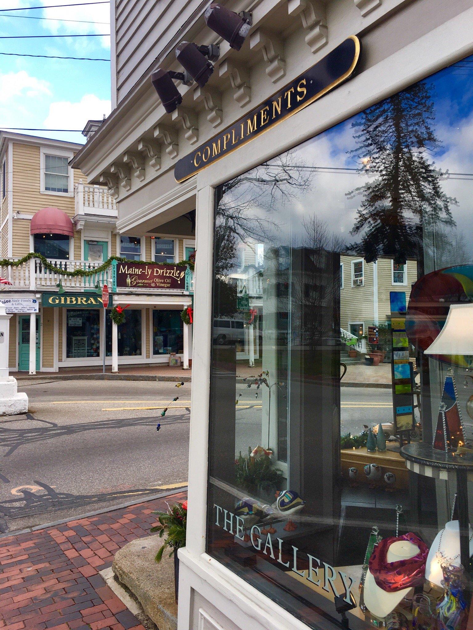
Kennebunkport, located in the state of Maine, is a quintessential New England coastal town known for its stunning seaside views, historic charm, and as a favored summer retreat for many, including former U.S. presidents. The city is renowned for its picturesque Dock Square, where visitors can explore an array of boutique shops, art galleries, and seafood restaurants offering the freshest catches of the day. One of the most iconic landmarks is the Bush family compound at Walker's Point, which has played host to numerous political gatherings and has become a point of interest for tourists and history enthusiasts alike.
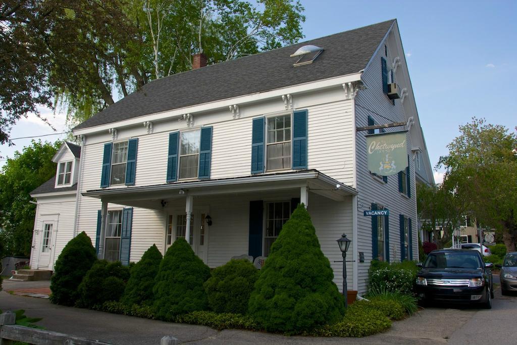
Rich in maritime history, Kennebunkport was originally a shipbuilding and fishing village in the 18th century. Today, it retains much of its historic character, with preserved colonial architecture and a vibrant cultural scene. The town is also home to the Seashore Trolley Museum, the world's oldest and largest museum of mass transit vehicles, offering a unique glimpse into the region's transportation history. Additionally, Goose Rocks Beach and the scenic Ocean Avenue are popular spots for both locals and visitors seeking relaxation and breathtaking coastal views. In Kennebunkport, the blend of historical depth and natural beauty provides a captivating experience for travelers.
Nearby cities include: Arundel, ME, Kennebunk, ME, Wells, ME, Biddeford, ME, Ogunquit, ME, Saco, ME, Old Orchard Beach, ME, Dayton, ME, York Beach, ME, Alfred, ME.
Places in Kennebunkport
Dine and drink
Eat and drink your way through town.
Can't-miss activities
Culture, natural beauty, and plain old fun.
Places to stay
Hang your (vacation) hat in a place that’s just your style.
Advertisement


