Kennebunk, ME
Advertisement
Kennebunk, ME Map
Kennebunk is a US city in York County in the state of Maine. Located at the longitude and latitude of -70.540600, 43.386400 and situated at an elevation of 22 meters. In the 2020 United States Census, Kennebunk, ME had a population of 5,776 people. Kennebunk is in the Eastern Standard Time timezone at Coordinated Universal Time (UTC) -5. Find directions to Kennebunk, ME, browse local businesses, landmarks, get current traffic estimates, road conditions, and more.
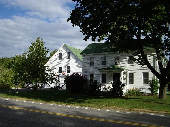
Kennebunk, located in the state of Maine, is a charming coastal town renowned for its scenic beauty and rich history. Known for its pristine beaches and picturesque landscapes, Kennebunk offers visitors a quintessential New England experience. The town's historical significance is evident in its well-preserved 18th and 19th-century architecture, with the Brick Store Museum being a notable highlight that offers insights into the area's past. Established in the 1600s, Kennebunk has a storied maritime history that can be explored through its local museums and historical sites.
Popular places within Kennebunk include the Rachel Carson National Wildlife Refuge, which provides a peaceful escape into nature with its extensive trails and diverse wildlife. For those interested in arts and culture, the Kennebunk Free Library and the town's vibrant arts scene offer a range of exhibitions and events. Additionally, Dock Square is a bustling area filled with unique shops, galleries, and restaurants that cater to both locals and tourists alike. Whether you're strolling along the sandy shores or exploring the town's historic streets, Kennebunk presents a delightful blend of natural beauty and cultural heritage.
Nearby cities include: Arundel, ME, Kennebunkport, ME, Wells, ME, Biddeford, ME, Saco, ME, Ogunquit, ME, Dayton, ME, Alfred, ME, Old Orchard Beach, ME, Sanford, ME.
Places in Kennebunk
Dine and drink
Eat and drink your way through town.
Can't-miss activities
Culture, natural beauty, and plain old fun.
Places to stay
Hang your (vacation) hat in a place that’s just your style.
Advertisement


