Merriam, KS
Advertisement
Merriam, KS Map
Merriam is a US city in Johnson County in the state of Kansas. Located at the longitude and latitude of -94.693610, 39.020830 and situated at an elevation of 277 meters. In the 2020 United States Census, Merriam, KS had a population of 11,098 people. Merriam is in the Central Standard Time timezone at Coordinated Universal Time (UTC) -6. Find directions to Merriam, KS, browse local businesses, landmarks, get current traffic estimates, road conditions, and more.
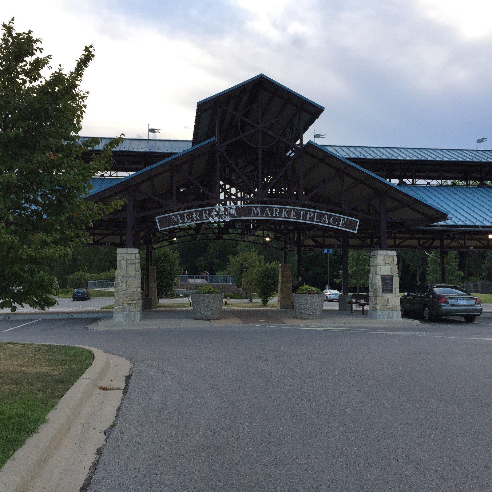
Merriam, located in the state of Kansas, is a city that offers a blend of history, community spirit, and recreational activities. Known for its rich past, Merriam traces its roots back to its founding in the 19th century and has grown into a welcoming community that celebrates both its historical heritage and modern-day amenities. The city is perhaps most recognized for its vibrant parks and trails, including the scenic Turkey Creek Streamway Trail, which provides residents and visitors with an opportunity to enjoy the natural beauty of the area. Merriam is also home to the unique Merriam Marketplace, a bustling hub for local events and farmers' markets that showcases the city's commitment to supporting local artisans and businesses.
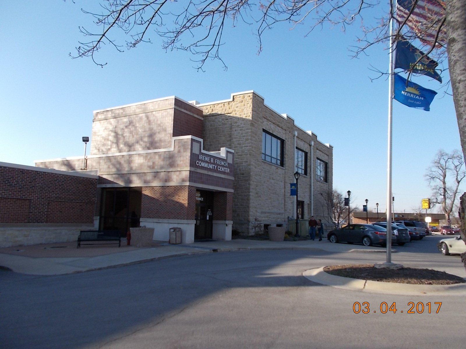
Among the popular places in Merriam is the Tim Murphy Art Gallery, located within the Irene B. French Community Center. This gallery hosts rotating art exhibits and is a testament to the city's dedication to cultural enrichment. Additionally, Merriam boasts the Merriam Historic Plaza, which offers a glimpse into the city's past with informative displays and a timeline walk that highlights significant events in Merriam's history. Whether you're exploring the city's trails, enjoying local art, or delving into its history, Merriam provides a quaint yet engaging experience for anyone looking to explore this charming Kansas city.
Nearby cities include: Mission, KS, Roeland Park, KS, Fairway, KS, Prairie, KS, Shawnee, KS, Mission Hills, KS, Lake Quivira, KS, Westwood, KS, Mission Woods, KS, Westwood Hills, KS.
Places in Merriam
Dine and drink
Eat and drink your way through town.
Can't-miss activities
Culture, natural beauty, and plain old fun.
Places to stay
Hang your (vacation) hat in a place that’s just your style.
Advertisement


