Fairway, KS
Advertisement
Fairway, KS Map
Fairway is a US city in Johnson County in the state of Kansas. Located at the longitude and latitude of -94.629200, 39.023900 and situated at an elevation of 292 meters. In the 2020 United States Census, Fairway, KS had a population of 4,170 people. Fairway is in the Central Standard Time timezone at Coordinated Universal Time (UTC) -6. Find directions to Fairway, KS, browse local businesses, landmarks, get current traffic estimates, road conditions, and more.
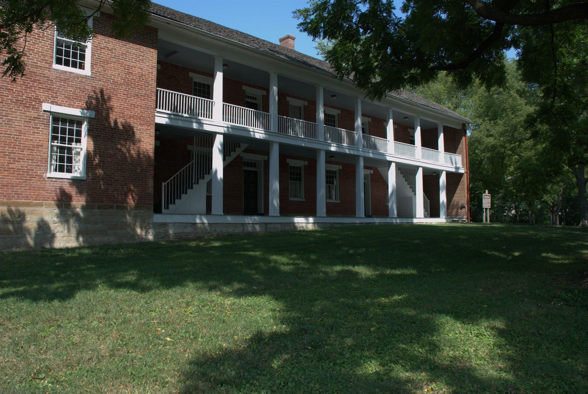
Fairway, Kansas, is a charming city known for its serene suburban atmosphere and rich historical roots. It is often celebrated for its beautiful tree-lined streets and a sense of community that makes it a welcoming place for residents and visitors alike. One of Fairway's notable features is the Shawnee Indian Mission State Historic Site, which offers insights into the area's cultural history and serves as an educational resource about the region's Native American heritage. The city also boasts a selection of quaint local shops and eateries that provide a taste of local flavor and hospitality.
In addition to its historical attractions, Fairway offers recreational opportunities with its well-maintained parks and green spaces. The Fairway Pool and the nearby Mission Hills Country Club are popular spots for those looking to enjoy outdoor activities and social gatherings. The city's commitment to preserving its historical character while providing modern amenities makes it a delightful destination for visitors interested in exploring the blend of past and present in a quintessentially American suburban setting.
Nearby cities include: Roeland Park, KS, Mission Hills, KS, Mission Woods, KS, Westwood, KS, Westwood Hills, KS, Mission, KS, Prairie, KS, Merriam, KS, Kansas City, MO, Kansas City, KS.
Places in Fairway
Dine and drink
Eat and drink your way through town.
Can't-miss activities
Culture, natural beauty, and plain old fun.
Places to stay
Hang your (vacation) hat in a place that’s just your style.
Advertisement


