Windsor Heights, IA
Advertisement
Windsor Heights, IA Map
Windsor Heights is a US city in Polk County in the state of Iowa. Located at the longitude and latitude of -93.711100, 41.604700 and situated at an elevation of 291 meters. In the 2020 United States Census, Windsor Heights, IA had a population of 5,252 people. Windsor Heights is in the Central Standard Time timezone at Coordinated Universal Time (UTC) -6. Find directions to Windsor Heights, IA, browse local businesses, landmarks, get current traffic estimates, road conditions, and more.
Windsor Heights, nestled in the heart of Iowa, is a small yet vibrant city known for its strong sense of community and charming suburban atmosphere. One of the city's standout features is Colby Park, a beloved local gathering spot that hosts numerous events throughout the year, including outdoor concerts and seasonal festivals. The city prides itself on its extensive trail system, offering residents and visitors ample opportunities for walking, biking, and enjoying the natural landscape. Windsor Heights is also home to the Walnut Creek Regional Park, which provides a serene escape with its lush greenery and well-maintained paths.
Historically, Windsor Heights has maintained a distinct identity despite its proximity to larger metropolitan areas, fostering a tight-knit community spirit. The city was incorporated in 1941 and has since grown into a welcoming locale with a blend of residential and commercial areas. Windsor Heights is particularly known for its commitment to sustainability and community engagement, often hosting events and initiatives aimed at enhancing environmental awareness and fostering civic pride. Whether you're exploring its parks or participating in local events, Windsor Heights offers a peaceful yet engaging experience for all who visit.
Nearby cities include: Clive, IA, West Des Moines, IA, Urbandale, IA, Johnston, IA, Des Moines, IA, Grimes, IA, Saylorville, IA, Boone, IA, Waukee, IA, Norwalk, IA.
Places in Windsor Heights
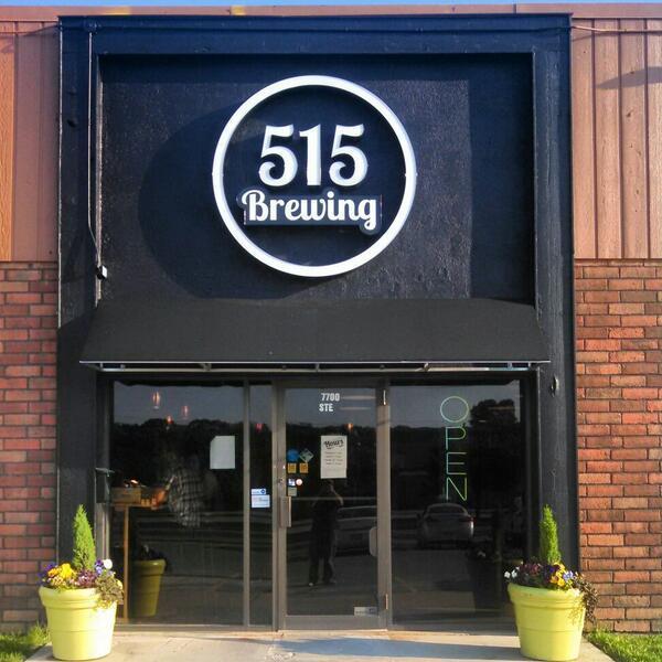
Dine and drink
Eat and drink your way through town.
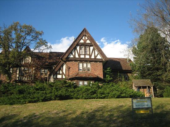
Can't-miss activities
Culture, natural beauty, and plain old fun.
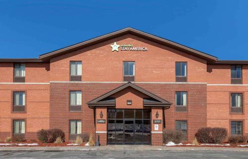
Places to stay
Hang your (vacation) hat in a place that’s just your style.
Advertisement


