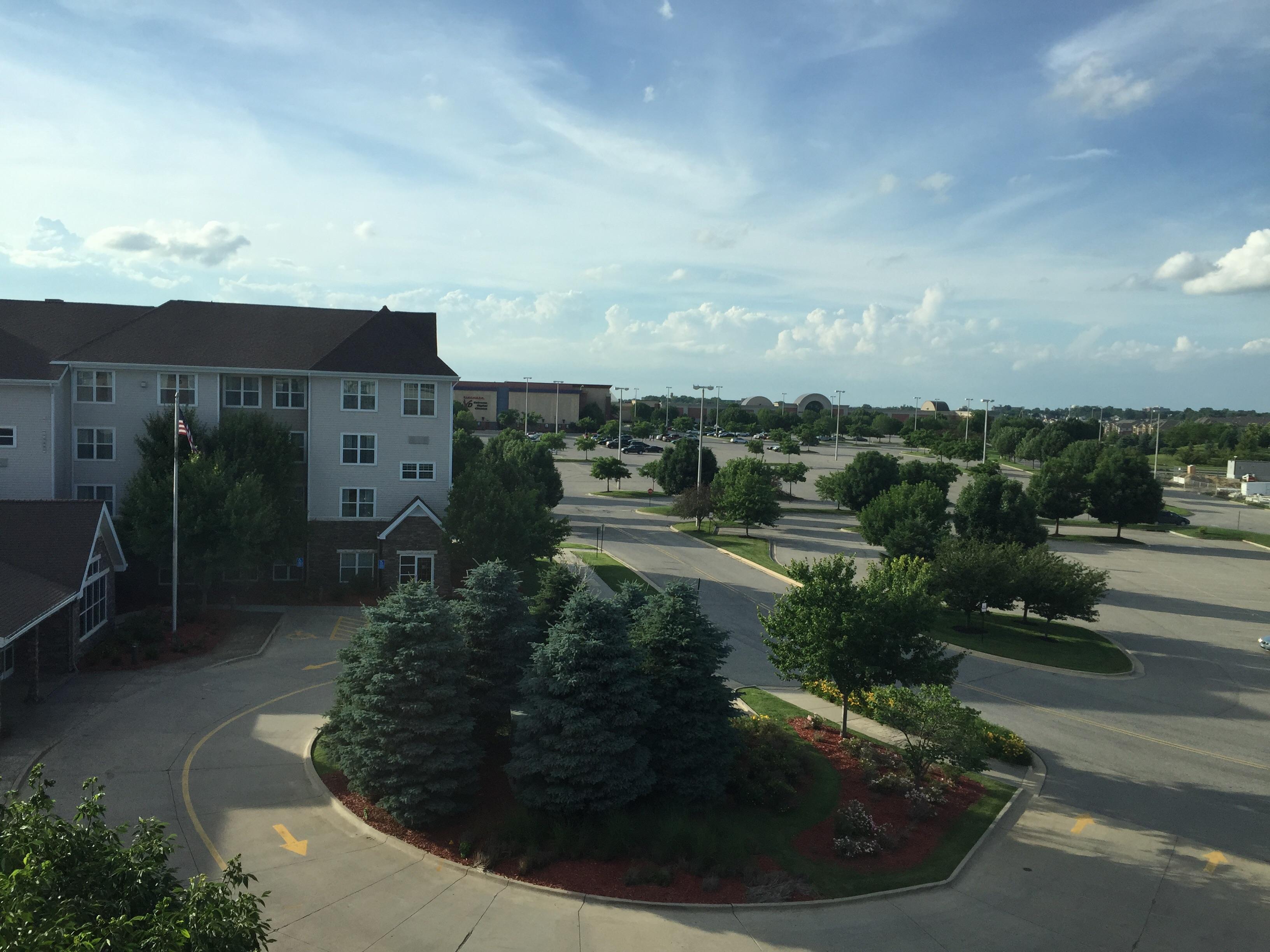
Des Moines, IA
Advertisement
Des Moines, IA Map
Des Moines is a US city in Polk County in the state of Iowa. Located at the longitude and latitude of -93.620833, 41.590833 and situated at an elevation of 291 meters. In the 2020 United States Census, Des Moines, IA had a population of 214,133 people. Des Moines is in the Central Standard Time timezone at Coordinated Universal Time (UTC) -6. Find directions to Des Moines, IA, browse local businesses, landmarks, get current traffic estimates, road conditions, and more.
Des Moines, the capital city of Iowa, is a vibrant hub known for its rich history, cultural attractions, and political significance. Founded in 1843 and named after the Des Moines River, the city has grown into a center for the insurance industry and hosts the first caucuses of the presidential primary cycle, making it a focal point in American politics. The cityscape is marked by the striking golden dome of the Iowa State Capitol, an architectural marvel that offers panoramic views of the downtown area.
Visitors to Des Moines can explore a variety of popular attractions. The Des Moines Art Center features an impressive collection of contemporary art housed in a building designed by renowned architects like Eliel Saarinen and I. M. Pei. The Pappajohn Sculpture Park offers a unique outdoor art experience with large-scale sculptures in a beautifully landscaped setting. For those interested in history, the State Historical Museum of Iowa provides insights into the state's past. Additionally, the bustling East Village district is home to trendy boutiques, restaurants, and nightlife, providing a taste of the city's dynamic urban culture.
Nearby cities include: West Des Moines, IA, Windsor Heights, IA, Clive, IA, Pleasant Hill, IA, Urbandale, IA, Saylorville, IA, Johnston, IA, Norwalk, IA, Altoona, IA, Carlisle, IA.
Map of Des Moines, IA

Places in Des Moines
Dine and drink
Eat and drink your way through town.
Can't-miss activities
Culture, natural beauty, and plain old fun.
Places to stay
Hang your (vacation) hat in a place that’s just your style.
Advertisement


