Mountainburg, AR
Advertisement
Mountainburg, AR Map
Mountainburg is a US city in Crawford County in the state of Arkansas. Located at the longitude and latitude of -94.167222, 35.638333 and situated at an elevation of 229 meters. In the 2020 United States Census, Mountainburg, AR had a population of 528 people. Mountainburg is in the Central Standard Time timezone at Coordinated Universal Time (UTC) -6. Find directions to Mountainburg, AR, browse local businesses, landmarks, get current traffic estimates, road conditions, and more.
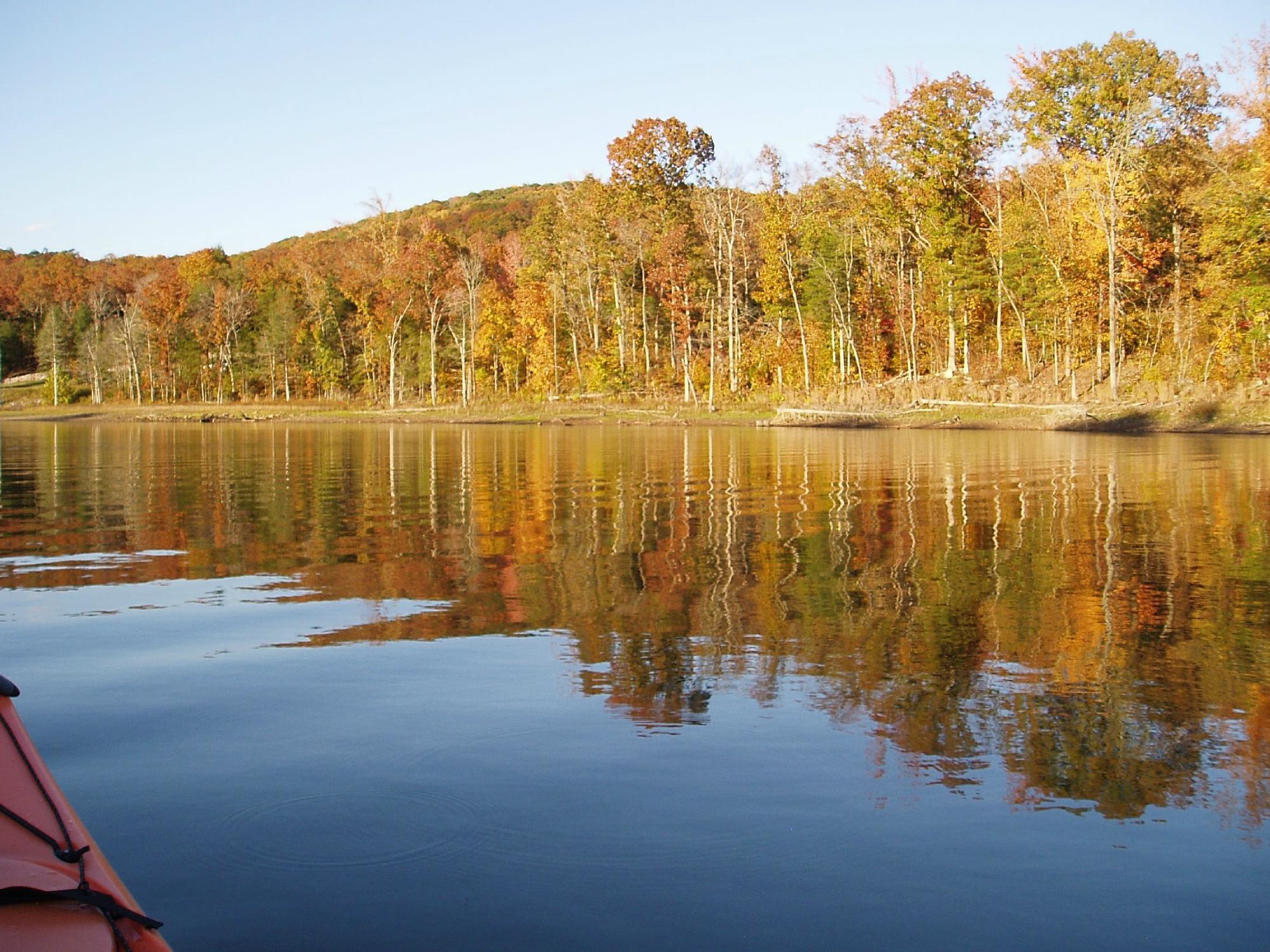
Mountainburg, nestled in the scenic Ozark Mountains of Arkansas, is a charming city known for its natural beauty and outdoor recreational opportunities. The city is a gateway to the Ozark National Forest, offering visitors access to an array of hiking trails, camping sites, and breathtaking vistas. One of the most popular attractions in Mountainburg is the Lake Fort Smith State Park, where visitors can enjoy boating, fishing, and picnicking against a backdrop of lush forested hills. The park's visitor center provides educational exhibits about the area's natural and cultural history, making it a great starting point for exploring the region.
Mountainburg also has a unique historical charm, with its roots tracing back to the late 19th century when it served as a stop along the railway. This historical significance is captured in the city’s quaint architecture and small-town atmosphere. A notable landmark is the iconic dinosaur statues located in the city park, which have become a whimsical symbol of Mountainburg and a favorite photo spot for visitors. Whether you're exploring its natural landscapes or enjoying its quirky attractions, Mountainburg offers a peaceful retreat with a touch of historical intrigue.
Nearby cities include: Chester, AR, Rudy, AR, Dyer, AR, Winslow, AR, Alma, AR, Mulberry, AR, Cedarville, AR, Sunset, AR, Kibler, AR, Uniontown, AR.
Places in Mountainburg
Dine and drink
Eat and drink your way through town.
Can't-miss activities
Culture, natural beauty, and plain old fun.
Places to stay
Hang your (vacation) hat in a place that’s just your style.
Advertisement


