Lavaca, AR
Advertisement
Lavaca, AR Map
Lavaca is a US city in Sebastian County in the state of Arkansas. Located at the longitude and latitude of -94.176700, 35.336700 and situated at an elevation of 129 meters. In the 2020 United States Census, Lavaca, AR had a population of 2,450 people. Lavaca is in the Central Standard Time timezone at Coordinated Universal Time (UTC) -6. Find directions to Lavaca, AR, browse local businesses, landmarks, get current traffic estimates, road conditions, and more.
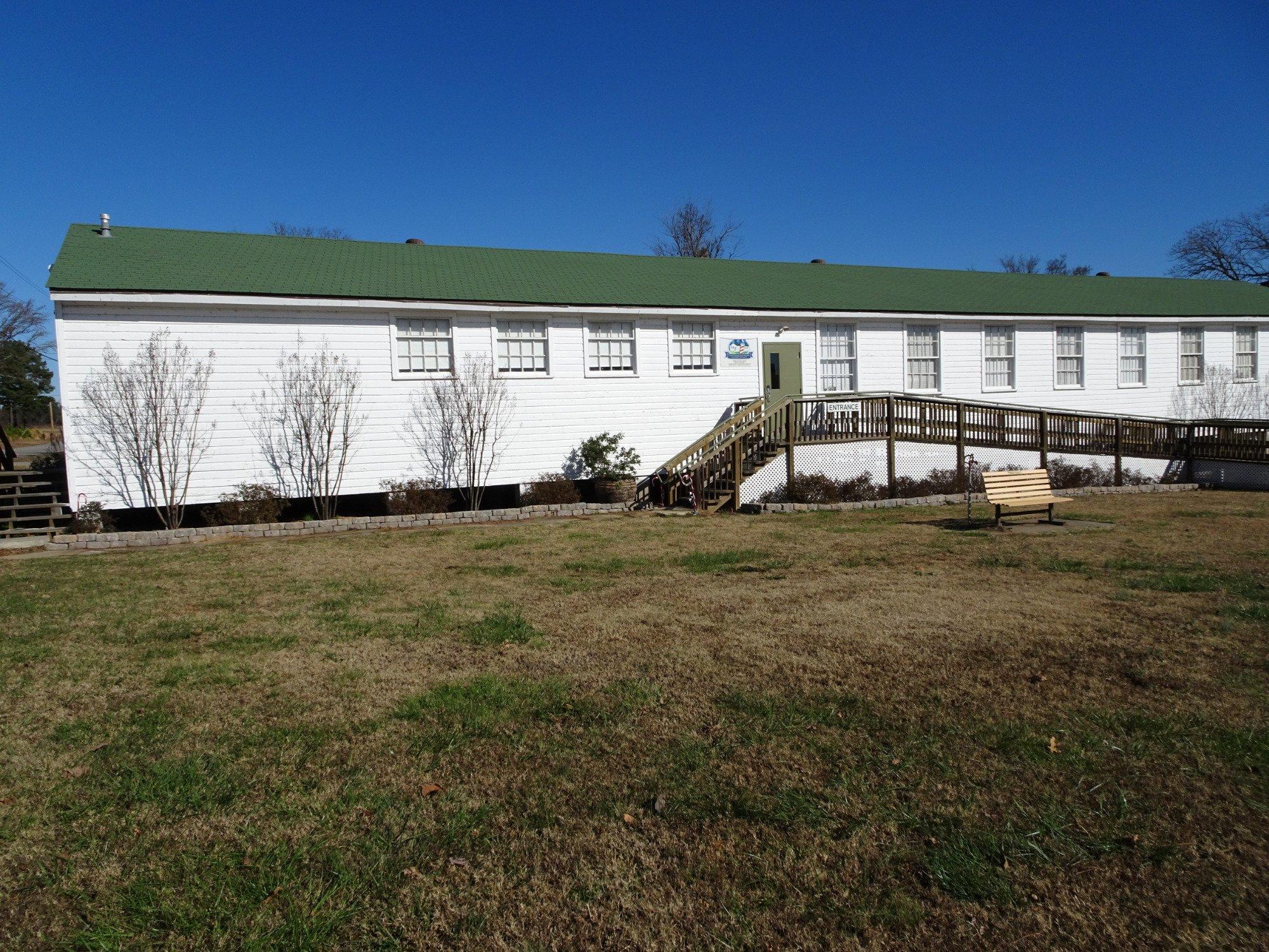
Lavaca, located in Arkansas, is a small city known for its close-knit community atmosphere and charm. While it may not be a bustling metropolis, it offers a serene escape with its lush landscapes and a sense of tranquility that is hard to find in larger cities. Lavaca is particularly noted for its local parks, which provide ample opportunities for outdoor activities such as hiking, picnicking, and enjoying nature. The city’s history is rooted in its establishment in the 19th century, and remnants of its past can be seen in some of the older architecture and historical landmarks scattered throughout the area.
A popular spot in Lavaca is the Lavaca City Park, a hub for community events and family-friendly activities. The park features walking trails, playgrounds, and sports fields, making it a favorite among residents and visitors alike. Additionally, Lavaca hosts several annual events that draw in crowds, such as local festivals and seasonal celebrations, which highlight the city's community spirit and hospitality. While Lavaca may not boast an extensive list of tourist attractions, its welcoming environment and peaceful setting make it an appealing destination for those looking to experience the charm of a small Arkansas town.
Nearby cities include: Central City, AR, Central City, AR, Barling, AR, Kibler, AR, Charleston, AR, Greenwood, AR, Alma, AR, Fort Smith, AR, Dyer, AR, Van Buren, AR.
Places in Lavaca
Dine and drink
Eat and drink your way through town.
Can't-miss activities
Culture, natural beauty, and plain old fun.
Places to stay
Hang your (vacation) hat in a place that’s just your style.
Advertisement


