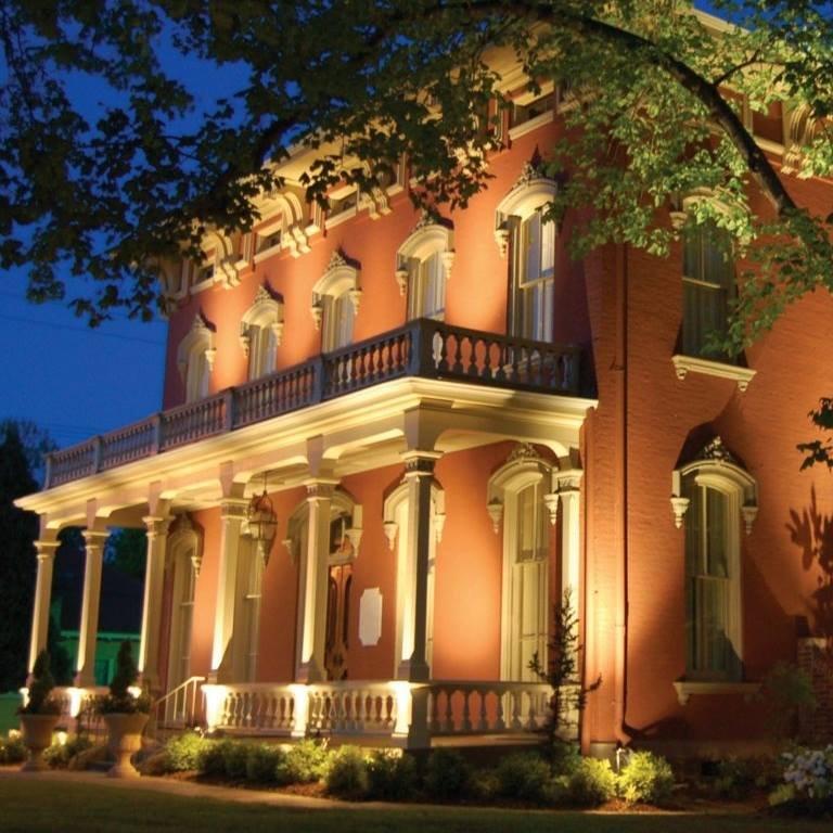
Fort Smith, AR
Advertisement
Fort Smith, AR Map
Fort Smith is a US city in Sebastian County in the state of Arkansas. Located at the longitude and latitude of -94.366667, 35.350000 and situated at an elevation of 141 meters. In the 2020 United States Census, Fort Smith, AR had a population of 89,142 people. Fort Smith is in the Central Standard Time timezone at Coordinated Universal Time (UTC) -6. Find directions to Fort Smith, AR, browse local businesses, landmarks, get current traffic estimates, road conditions, and more.
Fort Smith, located in the state of Arkansas, is a city rich in historical significance and cultural heritage. Known primarily for its pivotal role in the Wild West frontier era, Fort Smith boasts the Fort Smith National Historic Site, where visitors can explore the remnants of two frontier forts and the iconic Federal Court for the Western District of Arkansas. This site offers a glimpse into the tumultuous times of the 19th century, including the infamous gallows used for executions. The city's history is further celebrated at the Fort Smith Museum of History, which provides a comprehensive look at the region's past, including its role during the Civil War.
In addition to its historical attractions, Fort Smith is home to several popular spots that draw both locals and tourists. The Fort Smith Regional Art Museum is a cultural beacon in the city, hosting diverse exhibitions and art education programs. For outdoor enthusiasts, the city offers the scenic Riverfront Park, which provides trails, picnic areas, and views of the Arkansas River. The Park at West End is another notable destination, featuring a vintage Ferris wheel and a historic carousel, adding a touch of nostalgia. Fort Smith's blend of history, culture, and recreation makes it a unique destination in Arkansas.
Nearby cities include: Arkoma, OK, Barling, AR, Moffett, OK, Van Buren, AR, Central City, AR, Central City, AR, Bonanza, AR, Kibler, AR, Roland, OK, Pocola, OK.
Places in Fort Smith
Dine and drink
Eat and drink your way through town.
Can't-miss activities
Culture, natural beauty, and plain old fun.
Places to stay
Hang your (vacation) hat in a place that’s just your style.
Advertisement


