Nephi, UT
Advertisement
Nephi, UT Map
Nephi is a US city in Juab County in the state of Utah. Located at the longitude and latitude of -111.831389, 39.709167 and situated at an elevation of 1,563 meters. In the 2020 United States Census, Nephi, UT had a population of 6,443 people. Nephi is in the Mountain Standard Time timezone at Coordinated Universal Time (UTC) -7. Find directions to Nephi, UT, browse local businesses, landmarks, get current traffic estimates, road conditions, and more.
Nephi, Utah, is a city celebrated for its rich history and its role as a gateway to some of Utah's stunning natural landscapes. Established in the mid-19th century, Nephi has retained much of its small-town charm while serving as a convenient stop for travelers exploring central Utah. The city is known for its proximity to the majestic Mount Nebo, the highest peak in the Wasatch Range, offering ample opportunities for hiking and outdoor recreation. Nephi is also home to the Juab County Fairgrounds, where the annual county fair draws visitors with its classic rodeo events, carnival rides, and local agricultural exhibits, reflecting the deep-rooted agricultural traditions of the area.
A visit to Nephi wouldn't be complete without exploring its historical sites, such as the Nephi City Pioneer Heritage Park, which provides a glimpse into the area's pioneer past. The Daughters of Utah Pioneers Museum is another notable attraction, showcasing artifacts and stories from the early settlers who established the community. For those seeking a more leisurely experience, the city's quaint downtown area offers a selection of local shops and eateries, perfect for an afternoon stroll. With its blend of history, culture, and access to natural beauty, Nephi serves as an inviting destination for those traveling through Utah.
Nearby cities include: Mona, UT, Levan, UT, Fountain Green, UT, Rocky Ridge, UT, Goshen, UT, Moroni, UT, Santaquin, UT, Wales, UT, Genola, UT, Elberta, UT.
Places in Nephi
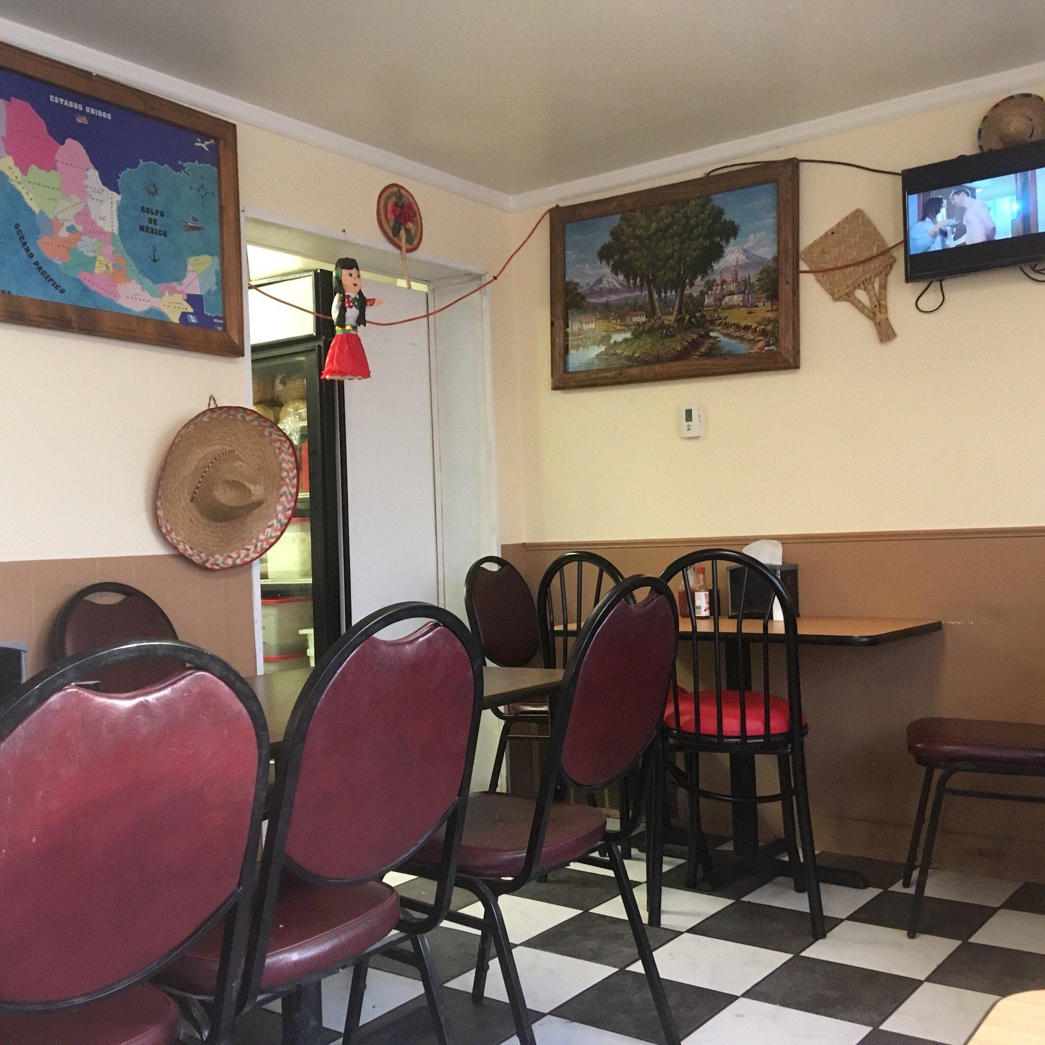
Dine and drink
Eat and drink your way through town.
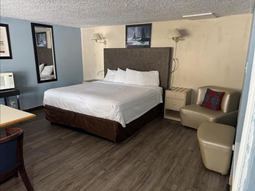
Places to stay
Hang your (vacation) hat in a place that’s just your style.
Advertisement


