Moab, UT
Advertisement
Moab, UT Map
Moab is a US city in Grand County in the state of Utah. Located at the longitude and latitude of -109.549722, 38.572500 and situated at an elevation of 1,227 meters. In the 2020 United States Census, Moab, UT had a population of 5,366 people. Moab is in the Mountain Standard Time timezone at Coordinated Universal Time (UTC) -7. Find directions to Moab, UT, browse local businesses, landmarks, get current traffic estimates, road conditions, and more.
Moab, Utah, is renowned for its striking red rock landscapes and serves as a gateway to some of the most breathtaking natural wonders in the United States. This small city is best known for its proximity to Arches National Park and Canyonlands National Park, both of which offer an array of outdoor activities like hiking, mountain biking, and off-roading. The iconic Delicate Arch and the dramatic vistas of the Island in the Sky district are just a short drive away, making Moab a favored destination for nature enthusiasts and adventure seekers alike.
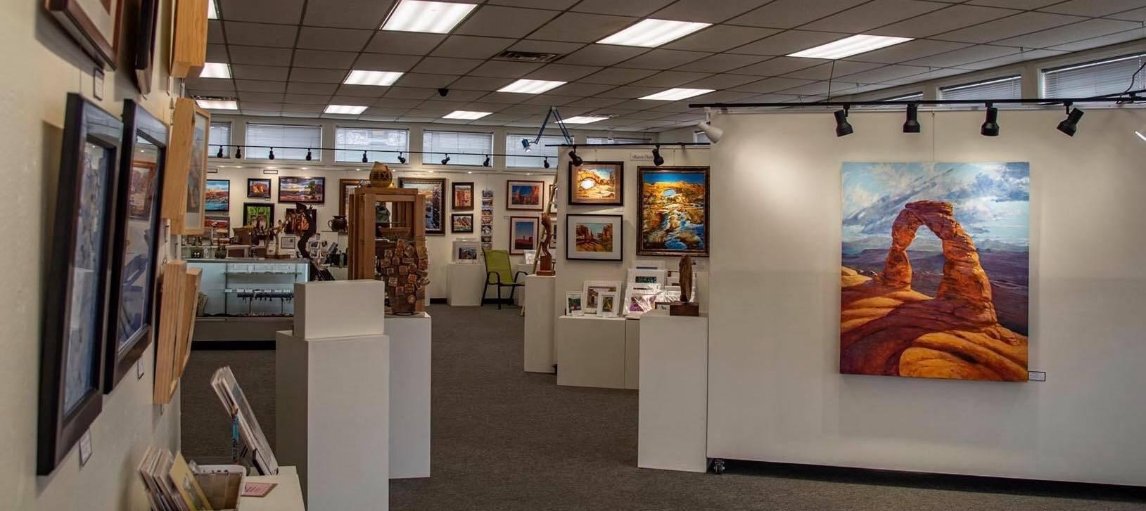
In addition to its natural attractions, Moab has a rich history that dates back to its early settlement days in the 1800s. Originally a trading post along the Old Spanish Trail, the city's development was significantly influenced by mining activities in the mid-20th century. Today, visitors can explore the Moab Museum to learn more about the area's geological and cultural history. The city also boasts a vibrant arts scene, with numerous galleries and annual events like the Moab Music Festival, further enriching the experience for visitors. Whether you're drawn by the allure of its rugged terrain or its cultural offerings, Moab provides a unique blend of adventure and history.
Nearby cities include: Castle Valley, UT, La Sal, UT, Green River, UT, Monticello, UT, Nucla, CO, Loma, CO, Naturita, CO, Fruita, CO, Grand Junction, CO, Orchard Mesa, CO.
Places in Moab
Dine and drink
Eat and drink your way through town.
Can't-miss activities
Culture, natural beauty, and plain old fun.
Places to stay
Hang your (vacation) hat in a place that’s just your style.
Advertisement


