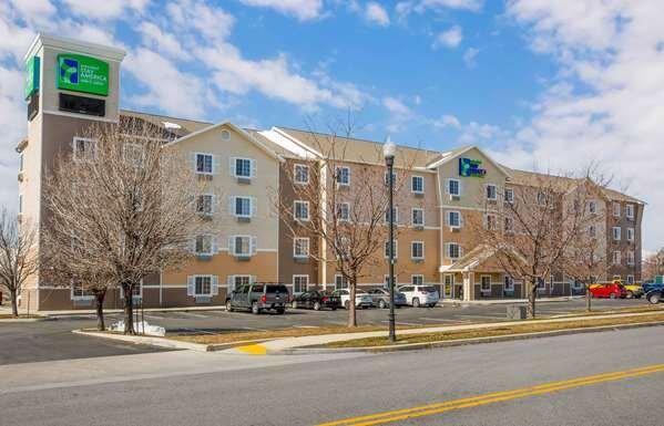
Lehi, UT
Advertisement
Lehi, UT Map
Lehi is a US city in Utah County in the state of Utah. Located at the longitude and latitude of -111.836389, 40.388444 and situated at an elevation of 1,391 meters. In the 2020 United States Census, Lehi, UT had a population of 75,907 people. Lehi is in the Mountain Standard Time timezone at Coordinated Universal Time (UTC) -7. Find directions to Lehi, UT, browse local businesses, landmarks, get current traffic estimates, road conditions, and more.
Lehi, Utah, is recognized primarily for its burgeoning tech industry, often referred to as the heart of the state's "Silicon Slopes." This city has become a significant hub for technology companies, drawing in both startups and established giants alike. Known for its family-friendly environment, Lehi offers a blend of historical landmarks and modern attractions. A visit to the city wouldn't be complete without exploring Thanksgiving Point, a sprawling complex that includes the Museum of Ancient Life, which boasts one of the world's largest collections of mounted dinosaur skeletons, and the stunning Ashton Gardens, perfect for a leisurely stroll.
Historically, Lehi holds a significant place as one of Utah's oldest cities, with its establishment dating back to 1850. The John Hutchings Museum of Natural History provides insight into the area's rich past, featuring artifacts from Native American cultures, pioneer relics, and even a collection of rocks and minerals. For those interested in the outdoors, the Jordan River Parkway offers scenic trails ideal for biking or walking. Lehi's combination of historical significance, natural beauty, and technological progress makes it a notable destination in Utah.
Nearby cities include: American Fork, UT, Highland, UT, Cedar Hills, UT, Saratoga Springs, UT, Pleasant Grove, UT, Alpine, UT, Vineyard, UT, Lindon, UT, Bluffdale, UT, Draper, UT.
Places in Lehi
Dine and drink
Eat and drink your way through town.
Can't-miss activities
Culture, natural beauty, and plain old fun.
Places to stay
Hang your (vacation) hat in a place that’s just your style.
Advertisement


