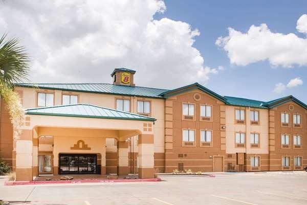
Port Neches, TX
Advertisement
Port Neches, TX Map
Port Neches is a US city in Jefferson County in the state of Texas. Located at the longitude and latitude of -93.960300, 29.980800 and situated at an elevation of 5 meters. In the 2020 United States Census, Port Neches, TX had a population of 13,692 people. Port Neches is in the Central Standard Time timezone at Coordinated Universal Time (UTC) -6. Find directions to Port Neches, TX, browse local businesses, landmarks, get current traffic estimates, road conditions, and more.
Port Neches, Texas, is a quaint city that offers a blend of historical charm and modern amenities, nestled along the Neches River. Known for its rich petrochemical industry roots, Port Neches has played a significant role in the region’s economic development. The city is celebrated for its scenic parks and outdoor activities, with RiverFront Park being a standout destination. This park offers beautiful views of the river, picnic areas, and a boardwalk, making it a favorite spot for both locals and visitors seeking relaxation or a leisurely stroll.
For those interested in history, the Port Neches Historical Society Museum provides insights into the city’s past, showcasing artifacts and exhibits that detail its development over time. Additionally, the city hosts the annual Port Neches RiverFest, a vibrant event that draws crowds with its boat races, live music, and family-friendly activities, reflecting the community spirit and local culture. Whether visiting for its historical significance or its recreational offerings, Port Neches presents a charming slice of Texan life by the river.
Nearby cities include: Nederland, TX, Groves, TX, Port Arthur, TX, Bridge City, TX, Orangefield, TX, Rose City, TX, Vidor, TX, Beaumont, TX, Taylor Landing, TX, West Orange, TX.
Places in Port Neches
Dine and drink
Eat and drink your way through town.
Can't-miss activities
Culture, natural beauty, and plain old fun.
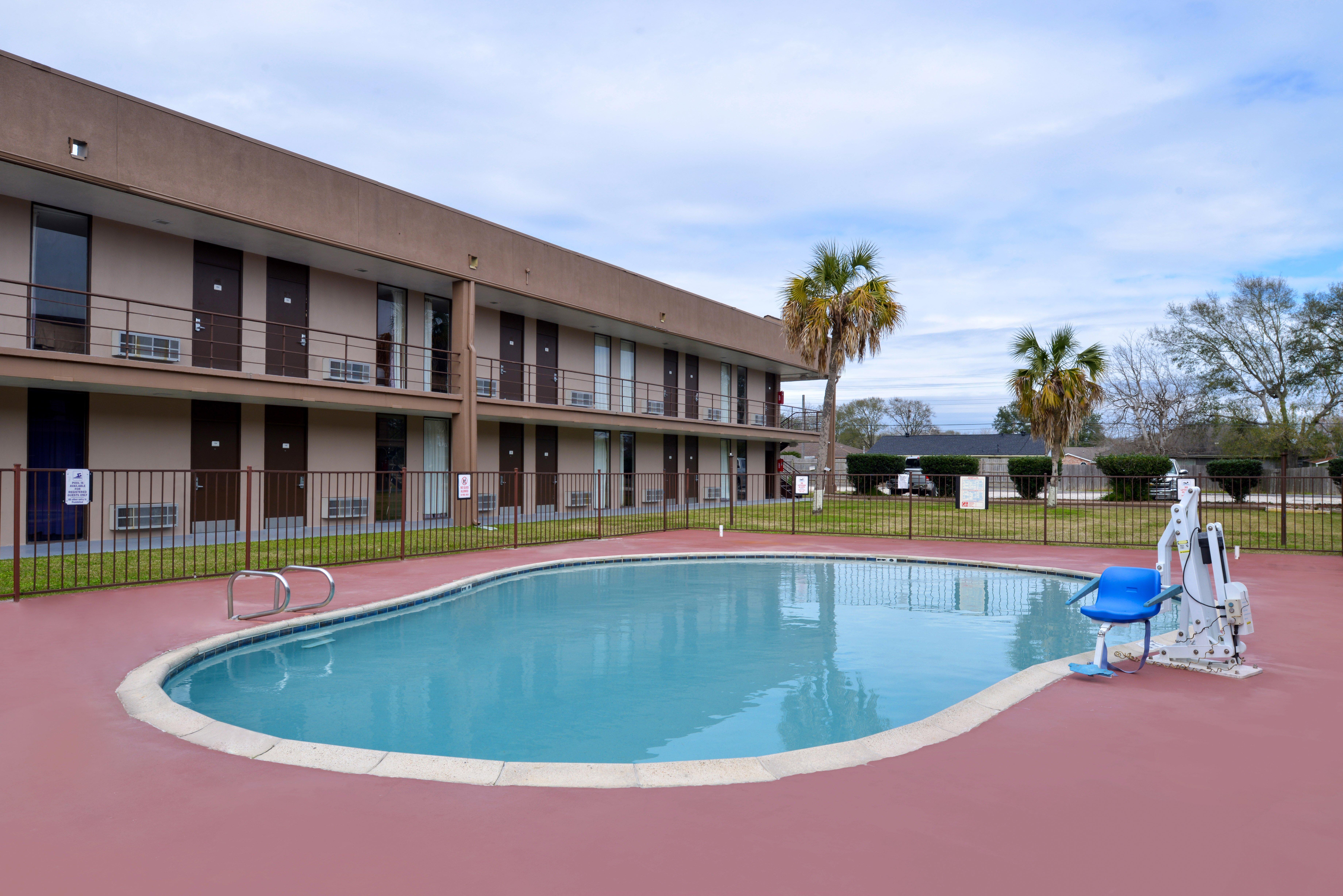
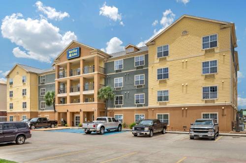
Places to stay
Hang your (vacation) hat in a place that’s just your style.
Advertisement


