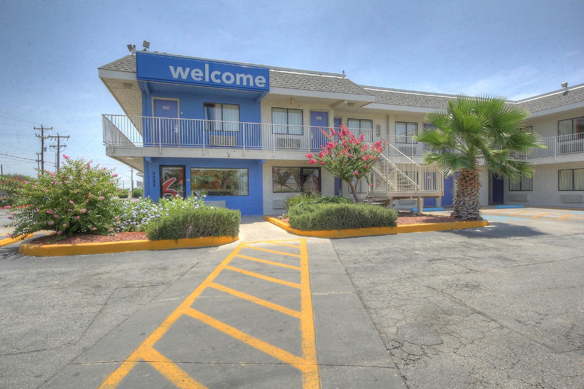
Kirby, TX
Advertisement
Kirby, TX Map
Kirby is a US city in Bexar County in the state of Texas. Located at the longitude and latitude of -98.388900, 29.461100 and situated at an elevation of 209 meters. In the 2020 United States Census, Kirby, TX had a population of 8,142 people. Kirby is in the Central Standard Time timezone at Coordinated Universal Time (UTC) -6. Find directions to Kirby, TX, browse local businesses, landmarks, get current traffic estimates, road conditions, and more.
Kirby, Texas, is a small city known for its tight-knit community and suburban charm. While it may not be a bustling metropolis, Kirby offers a peaceful respite with a welcoming atmosphere. The city is perhaps best known for Friendship Park, a popular gathering spot for residents and visitors alike. The park features walking trails, sports fields, and playgrounds, making it a perfect location for family outings and community events. Additionally, Kirby is home to the Kirby Senior Center, which serves as a hub for activities and services for the city's senior residents.
Historically, Kirby started as a farming community before evolving into a suburban haven. The city's development was significantly influenced by its proximity to military bases, which contributed to its growth and diversity. Kirby's local events, such as the annual Kirby Volunteer Fire Department Picnic, highlight the city’s community spirit and commitment to preserving its small-town feel. Despite its modest size, Kirby offers a slice of Texan hospitality and an inviting environment for those seeking a quieter pace of life.
Nearby cities include: Terrell Hills, TX, Windcrest, TX, Martinez, TX, Alamo Heights, TX, China Grove, TX, Converse, TX, Olmos Park, TX, San Antonio, TX, Live Oak, TX, Universal City, TX.
Places in Kirby
Dine and drink
Eat and drink your way through town.
Can't-miss activities
Culture, natural beauty, and plain old fun.
Places to stay
Hang your (vacation) hat in a place that’s just your style.
Advertisement


