Tulsa, OK
Advertisement
Tulsa, OK Map
Tulsa is a US city in Tulsa County in the state of Oklahoma. Located at the longitude and latitude of -95.992770, 36.153980 and situated at an elevation of 223 meters. In the 2020 United States Census, Tulsa, OK had a population of 413,066 people. Tulsa is in the Central Standard Time timezone at Coordinated Universal Time (UTC) -6. Find directions to Tulsa, OK, browse local businesses, landmarks, get current traffic estimates, road conditions, and more.
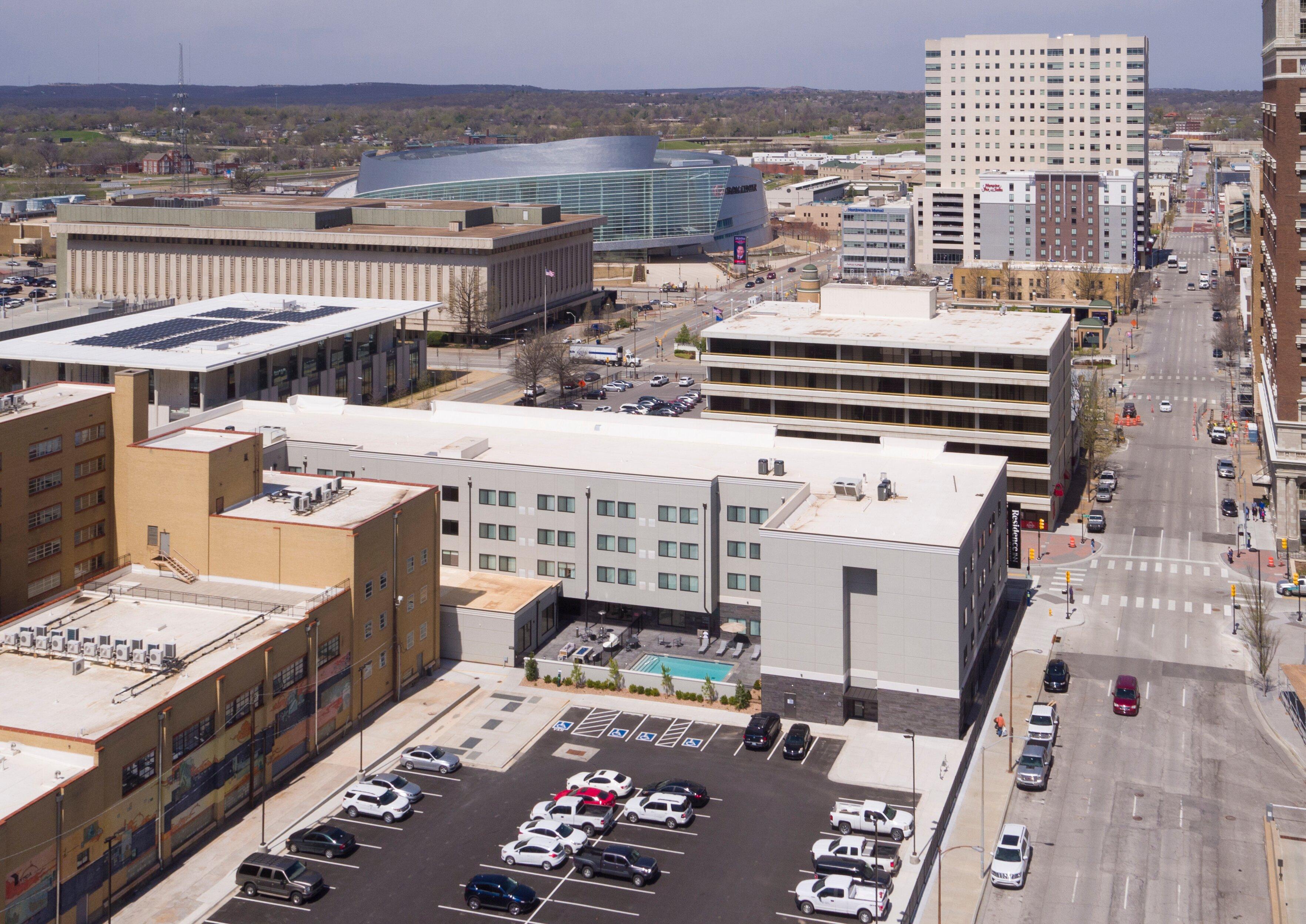
Tulsa, located in the state of Oklahoma, is a city that melds a rich historical background with modern cultural vibrancy. Known as the "Oil Capital of the World" in the early 20th century, Tulsa played a significant role in the American oil industry, which is a heritage still evident in its impressive Art Deco architecture. The city's skyline is punctuated with buildings like the Boston Avenue Methodist Church, showcasing this unique architectural style. Tulsa is also recognized for its significant contributions to American music, particularly jazz and blues, with the historic Greenwood District, once known as "Black Wall Street," being a testament to its vibrant African American culture and history.
Visitors to Tulsa can explore a variety of attractions and cultural sites. The Philbrook Museum of Art, housed in a stunning Italian Renaissance-style villa, offers an extensive collection of art from around the world. The Tulsa Zoo and Gathering Place, a vast riverfront park, provide family-friendly activities and scenic views. For those interested in the performing arts, the Tulsa Performing Arts Center hosts a range of concerts, theater productions, and ballet performances. Additionally, the city's culinary scene, with a mix of traditional Southern cuisine and innovative dining experiences, adds another layer to Tulsa's appeal as a diverse and dynamic destination.
Nearby cities include: Oakhurst, OK, Sperry, OK, Jenks, OK, Sapulpa, OK, Lotsee, OK, Owasso, OK, Catoosa, OK, Sand Springs, OK, Glenpool, OK, Broken Arrow, OK.
Map of Tulsa, OK

Places in Tulsa
Dine and drink
Eat and drink your way through town.
Can't-miss activities
Culture, natural beauty, and plain old fun.
Places to stay
Hang your (vacation) hat in a place that’s just your style.
Advertisement


