Sour John, OK Map
Sour John is a US city in Muskogee County in the state of Oklahoma. Located at the longitude and latitude of -95.138056, 35.628611 and situated at an elevation of 245 meters. In the 2020 United States Census, Sour John, OK had a population of 71 people. Sour John is in the Central Standard Time timezone at Coordinated Universal Time (UTC) -6. Find directions to Sour John, OK, browse local businesses, landmarks, get current traffic estimates, road conditions, and more.
Sour John, located in the state of Oklahoma, is a small, unassuming town with a rich tapestry of local history and a warm, welcoming community spirit. Known predominantly for its agricultural roots, the area is characterized by sprawling farmland and a landscape dotted with rustic barns and silos, exemplifying the quintessential rural American lifestyle. The town's name, often a point of curiosity, is steeped in local lore, though the true origins remain a charming mystery to both residents and visitors alike.
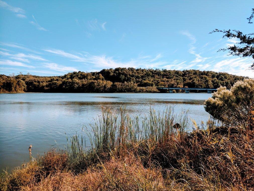
Despite its modest size, Sour John offers a handful of attractions that capture the essence of the region. The town is home to a few locally cherished diners and cafes where visitors can experience home-cooked meals that highlight the flavors of Oklahoma. For those interested in history, the local historical society maintains a small museum that offers insights into the town's past, including its development through the agricultural boom periods. Additionally, the surrounding natural scenery provides opportunities for outdoor activities such as hiking and bird-watching, making Sour John a quaint yet intriguing destination for those seeking to explore the heartland of America.
Nearby cities include: Braggs, OK, Notchietown, OK, River Bottom, OK, Gore, OK, Webbers Falls, OK, Vian, OK, Fort Gibson, OK, Warner, OK, Cookson, OK, Muskogee, OK.