Harrah, OK
Advertisement
Harrah, OK Map
Harrah is a US city in Oklahoma County in the state of Oklahoma. Located at the longitude and latitude of -97.183889, 35.476111 and situated at an elevation of 337 meters. In the 2020 United States Census, Harrah, OK had a population of 6,245 people. Harrah is in the Central Standard Time timezone at Coordinated Universal Time (UTC) -6. Find directions to Harrah, OK, browse local businesses, landmarks, get current traffic estimates, road conditions, and more.
Harrah, located in the state of Oklahoma, is a small city known for its rich agricultural roots and a community-focused lifestyle. It is a place where you can experience the charm of rural living while still having access to modern amenities. Harrah's history dates back to the early 1900s, and it has maintained its small-town feel despite the passing decades. The city is particularly known for its involvement in the agricultural industry, with local farms contributing significantly to the region's economy. Visitors can enjoy the scenic landscapes and perhaps even partake in seasonal events that celebrate the local produce and farming heritage.
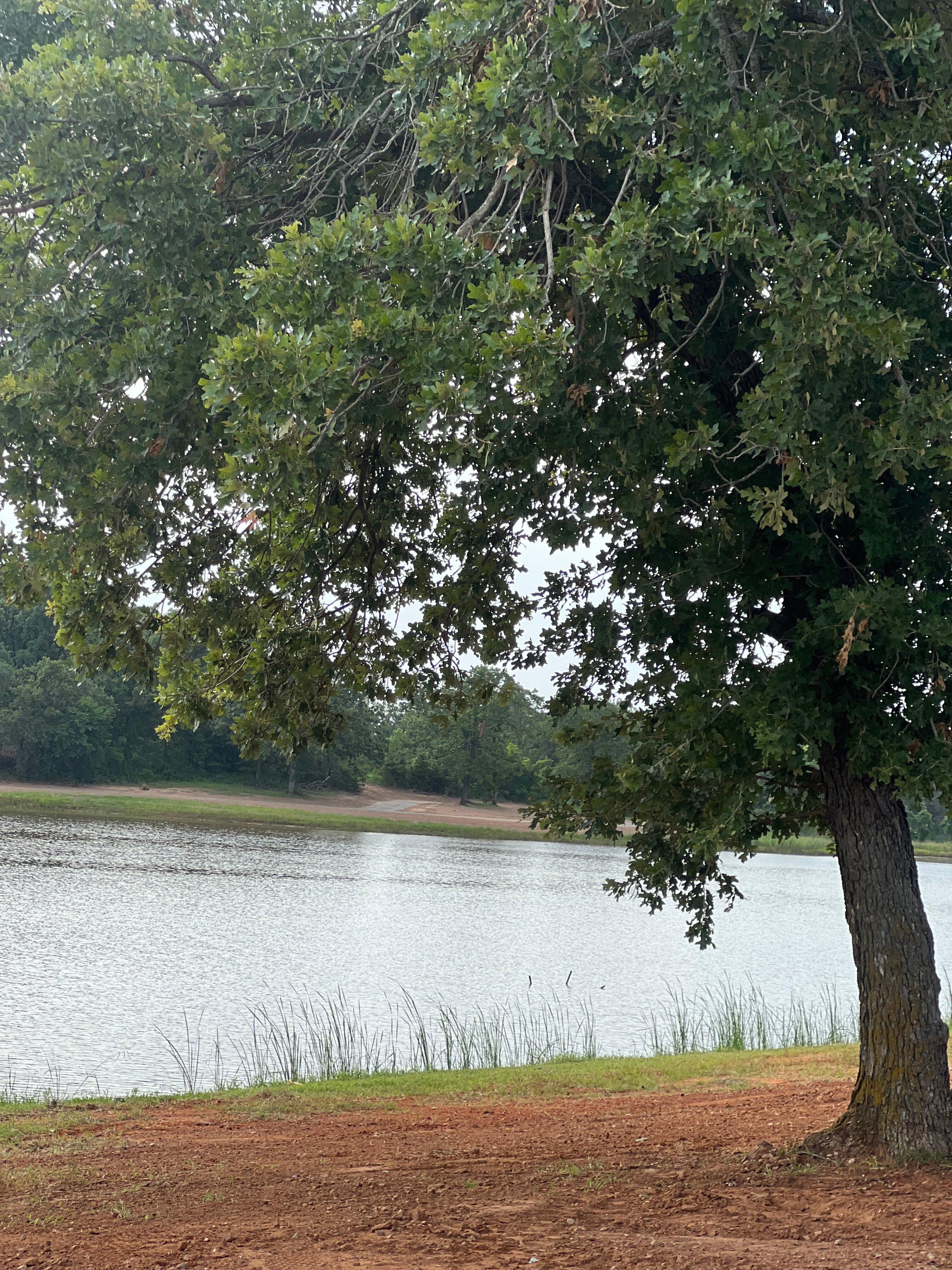
Among the popular places in Harrah is the Harrah Heritage Park, which offers a serene setting for picnics, leisurely walks, and community gatherings. The park is a hub for local events and a favorite spot for residents to enjoy the outdoors. Additionally, Harrah boasts a number of locally-owned eateries and shops that reflect the city's welcoming atmosphere and commitment to supporting local businesses. The city's community events, often held in these communal spaces, foster a strong sense of connection among residents and visitors alike, making Harrah a quaint yet inviting destination in Oklahoma.
Nearby cities include: Choctaw, OK, McLoud, OK, McLoud, OK, Nicoma Park, OK, Jones, OK, Spencer, OK, Midwest City, OK, Luther, OK, Bethel Acres, OK, Del City, OK.
Places in Harrah
Dine and drink
Eat and drink your way through town.
Can't-miss activities
Culture, natural beauty, and plain old fun.
Places to stay
Hang your (vacation) hat in a place that’s just your style.
Advertisement


