Hoboken, NJ
Advertisement
Hoboken, NJ Map
Hoboken is a US city in Hudson County in the state of New Jersey. Located at the longitude and latitude of -74.032500, 40.745000 and situated at an elevation of 8 meters. In the 2020 United States Census, Hoboken, NJ had a population of 60,419 people. Hoboken is in the Eastern Standard Time timezone at Coordinated Universal Time (UTC) -5. Find directions to Hoboken, NJ, browse local businesses, landmarks, get current traffic estimates, road conditions, and more.
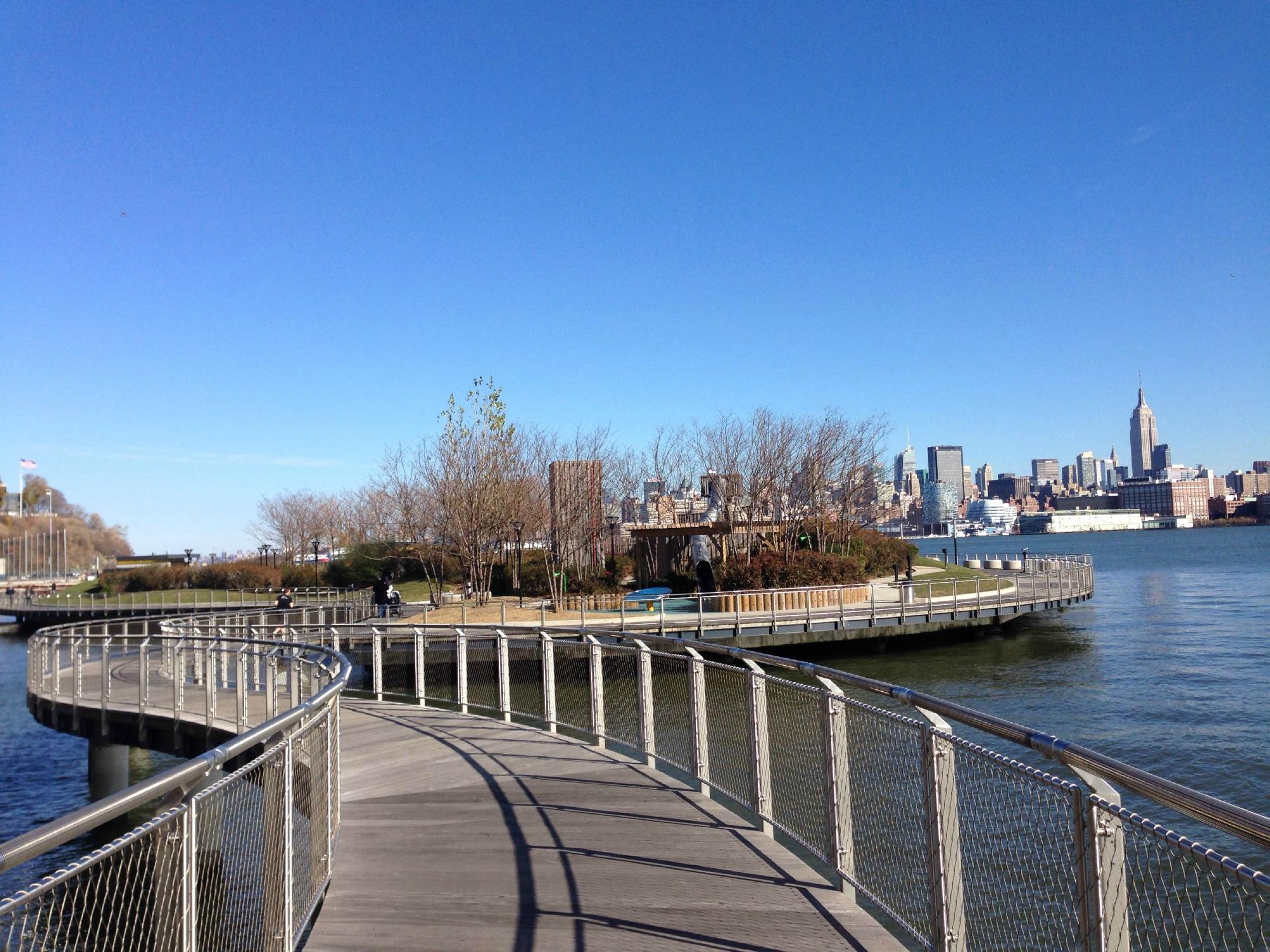
Hoboken, New Jersey, is a vibrant city known for its rich history and stunning views of the Manhattan skyline. Originally settled in the 17th century, Hoboken has transformed from its industrial roots into a bustling urban area with a lively arts and cultural scene. The city is famously recognized as the birthplace of Frank Sinatra, and visitors can explore this connection at the Hoboken Historical Museum, which provides insights into the city's past and its notable residents.
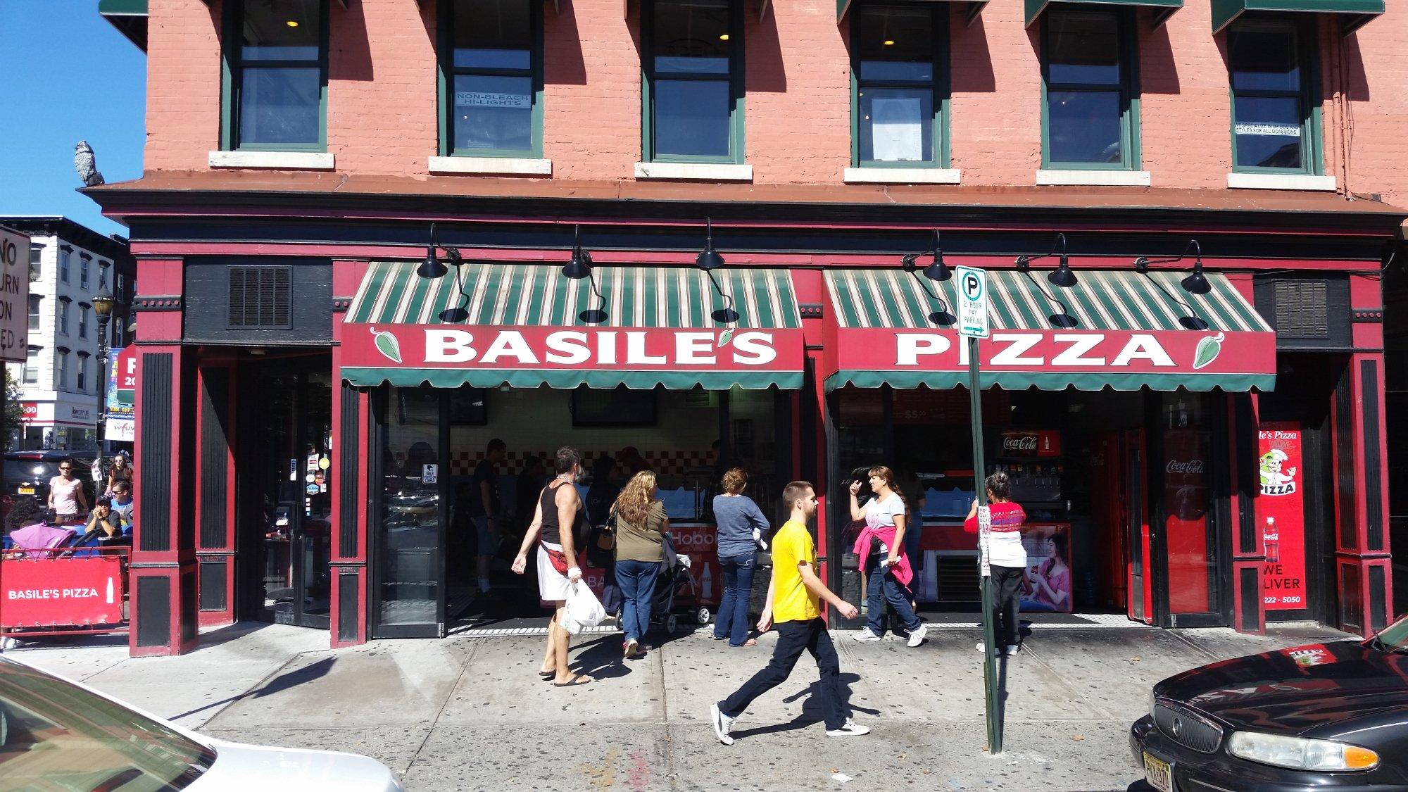
One of the city's most popular areas is the scenic waterfront, where visitors can enjoy a stroll along Pier A Park or relax in the green spaces at Pier C Park. Washington Street, the main thoroughfare, is lined with a variety of restaurants, boutiques, and bars, offering a taste of the local flavor. Hoboken is also home to Carlo's Bakery, made famous by the TV show "Cake Boss," where sweet-toothed travelers can indulge in delicious pastries. The city's blend of historic charm and modern amenities makes it a unique destination for those visiting New Jersey.
Nearby cities include: Union City, NJ, Weehawken, NJ, Manhattan, NY, Jersey City, NJ, West New York, NJ, Secaucus, NJ, North Bergen, NJ, Guttenberg, NJ, Kearny, NJ, Williamsburg, NY.
Places in Hoboken
Dine and drink
Eat and drink your way through town.
Can't-miss activities
Culture, natural beauty, and plain old fun.
Places to stay
Hang your (vacation) hat in a place that’s just your style.
Advertisement


