Round Prairie, MO
Advertisement
Round Prairie Township, MO Map
Round Prairie Township is a US city in Callaway County in the state of Missouri. Located at the longitude and latitude of -92.079444, 38.821944 and situated at an elevation of 262 meters. In the 2020 United States Census, Round Prairie Township, MO had a population of 1,071 people. Round Prairie Township is in the Central Standard Time timezone at Coordinated Universal Time (UTC) -6. Find directions to Round Prairie Township, MO, browse local businesses, landmarks, get current traffic estimates, road conditions, and more.
Round Prairie Township in Missouri is a charming locale that offers a glimpse into the rural heartland of the United States. Known for its serene landscapes and agricultural heritage, the township is a haven for those seeking a peaceful retreat from the bustling urban life. The area is dotted with picturesque farms and open prairies that provide a perfect backdrop for outdoor activities such as hiking, bird watching, and photography. Visitors often find themselves drawn to the local farmers' markets, where they can purchase fresh produce and homemade goods, embodying the township's strong community spirit and commitment to sustainable living.
Historically, Round Prairie Township has roots that trace back to the early settlement days of Missouri, with many of its original structures and historical landmarks still standing as testament to its rich past. The township hosts several annual events and festivals that celebrate its history and agricultural traditions, attracting visitors from across the region. While it may not be a bustling metropolis, Round Prairie Township offers a unique experience for those interested in exploring rural American culture and history, set against the backdrop of Missouri's natural beauty.
Nearby cities include: Bourbon, MO, New Bloomfield, MO, Fulton, MO, Caldwell, MO, Cedar, MO, East Fulton, MO, Lake Mykee Town, MO, Ashland, MO, McCredie, MO, Kingdom City, MO.
Places in Round Prairie
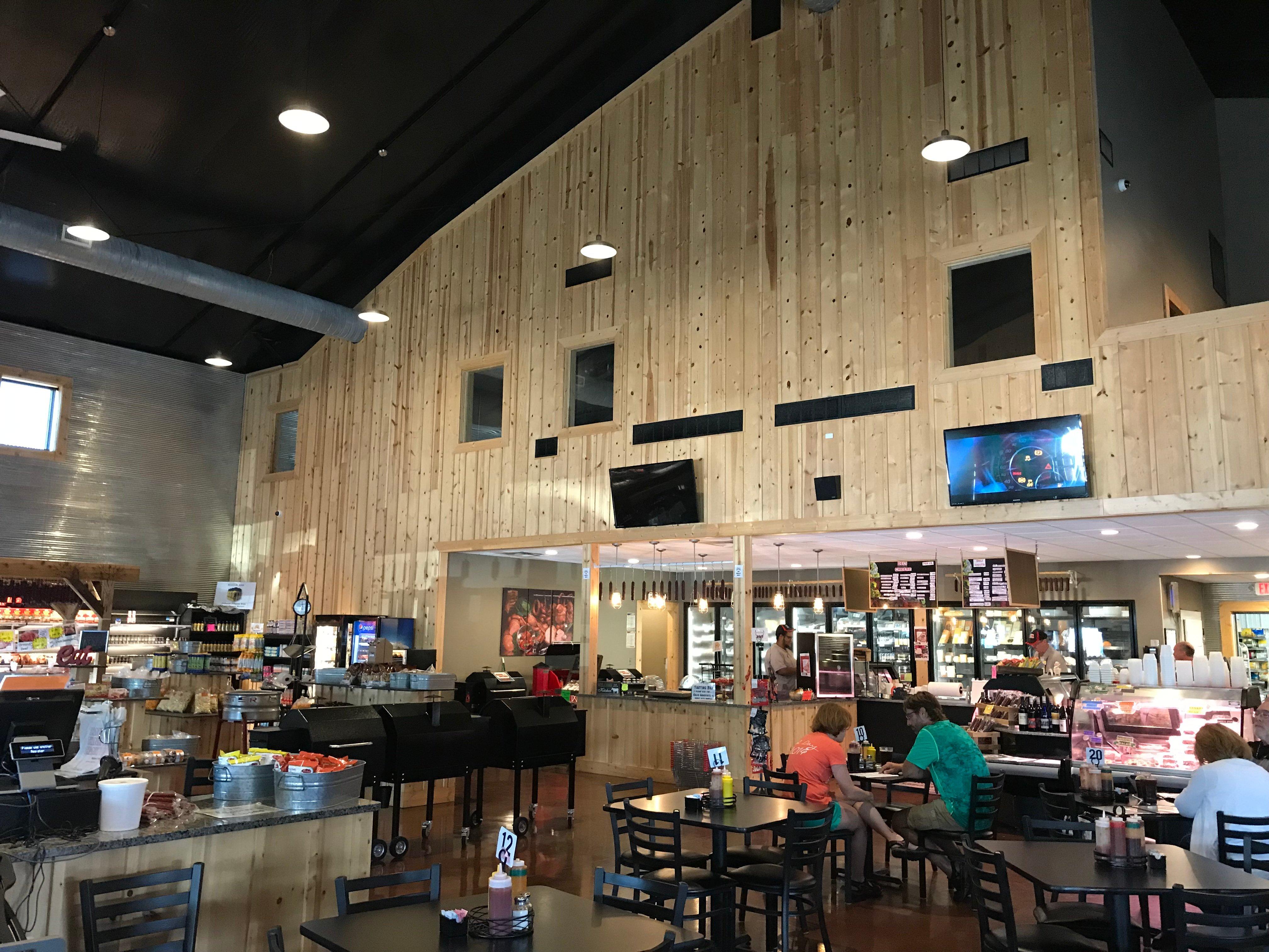
Dine and drink
Eat and drink your way through town.
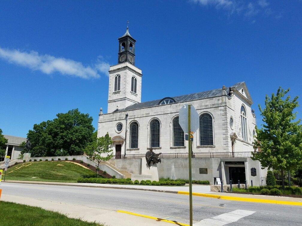
Can't-miss activities
Culture, natural beauty, and plain old fun.
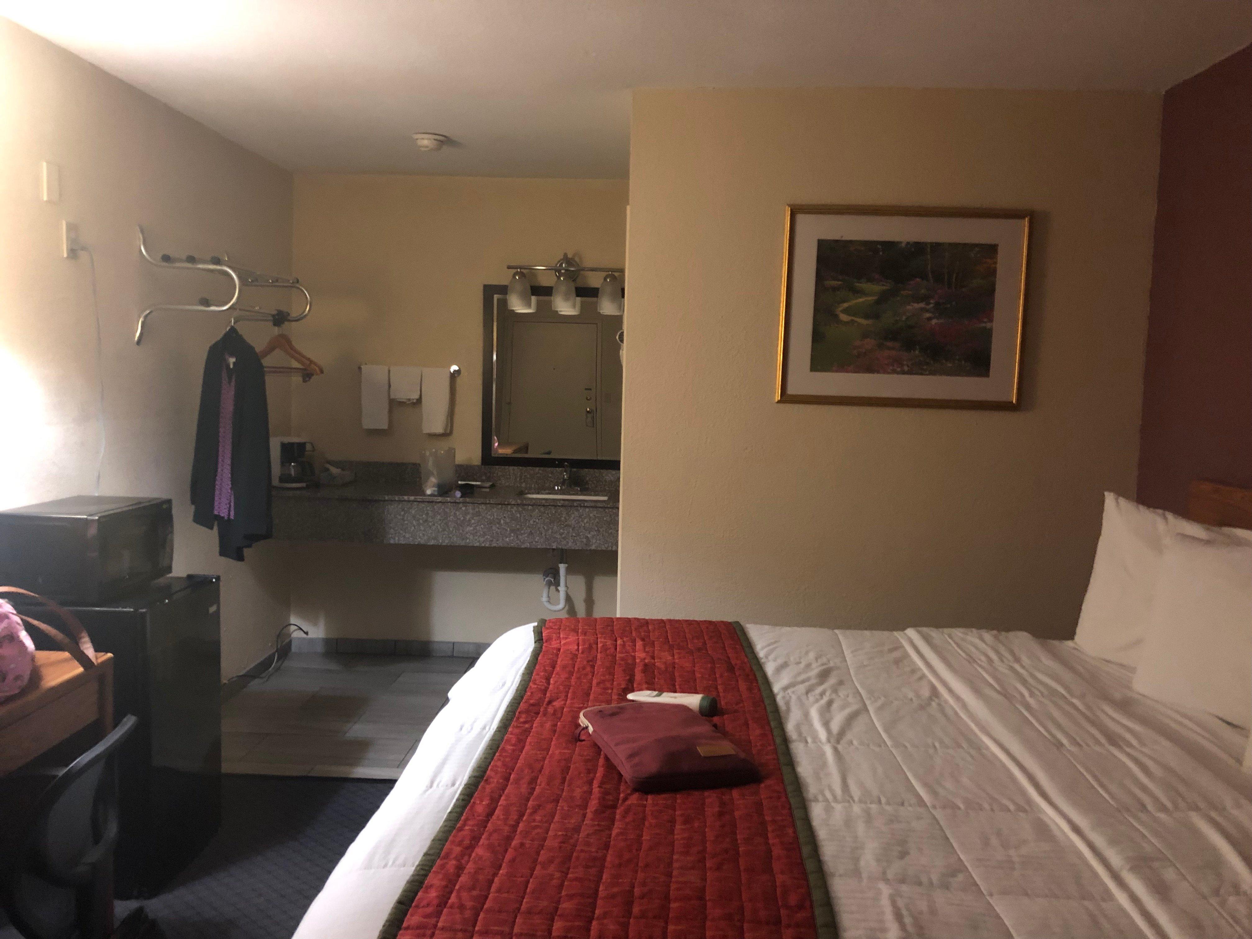
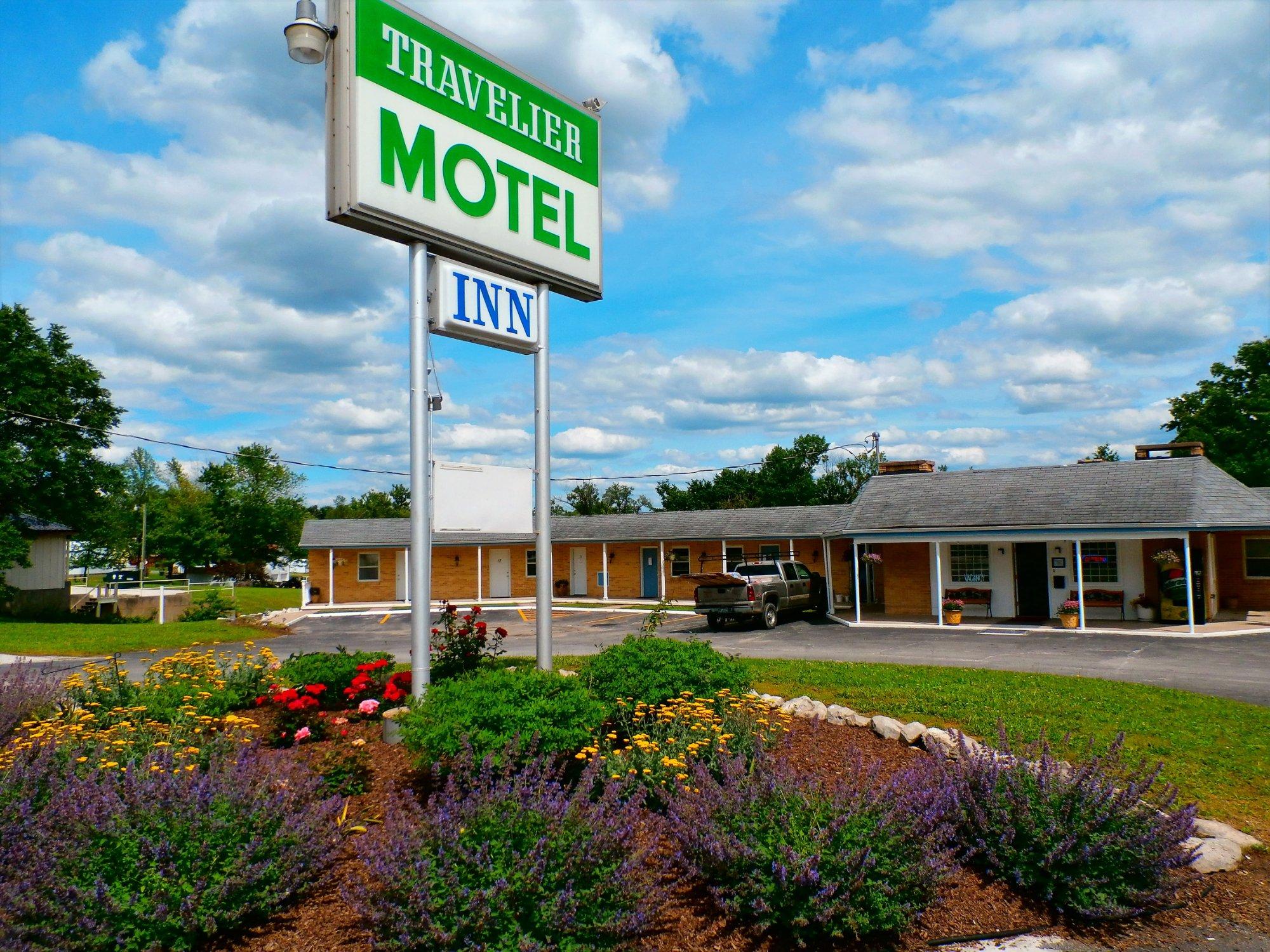
Places to stay
Hang your (vacation) hat in a place that’s just your style.
Advertisement


