Cote Sans Dessein, MO
Advertisement
Cote Sans Dessein Township, MO Map
Cote Sans Dessein Township is a US city in Callaway County in the state of Missouri. Located at the longitude and latitude of -92.001944, 38.638333 and situated at an elevation of 168 meters. In the 2020 United States Census, Cote Sans Dessein Township, MO had a population of 1,111 people. Cote Sans Dessein Township is in the Central Standard Time timezone at Coordinated Universal Time (UTC) -6. Find directions to Cote Sans Dessein Township, MO, browse local businesses, landmarks, get current traffic estimates, road conditions, and more.
Cote Sans Dessein Township, located in Missouri, is a place steeped in historical significance and natural beauty. Known primarily for its historical roots, the area played an important role in the early 19th century as a French settlement. The name "Cote Sans Dessein" translates to "Hill Without Design," reflecting its unique topography and the early settlers' impressions of the landscape. Visitors to the township can explore remnants of its past while enjoying the picturesque surroundings that have remained largely untouched by modern development.
Although Cote Sans Dessein Township does not boast a bustling urban center, it is known for its serene natural landscapes and opportunities for outdoor activities. The surrounding area offers ample opportunities for hiking, wildlife observation, and photography, making it a peaceful retreat for nature enthusiasts. The township's historical significance and tranquil environment provide a unique glimpse into Missouri's past, making it a hidden gem for those interested in history and nature. Whether you're a history buff or an outdoor adventurer, Cote Sans Dessein Township offers a tranquil escape with a rich historical backdrop.
Nearby cities include: Tebbetts, MO, Caldwell, MO, Summit, MO, Lake Mykee Town, MO, Holts Summit, MO, Cedar, MO, New Bloomfield, MO, Mokane, MO, Jefferson City, MO, Taos, MO.
Places in Cote Sans Dessein
Dine and drink
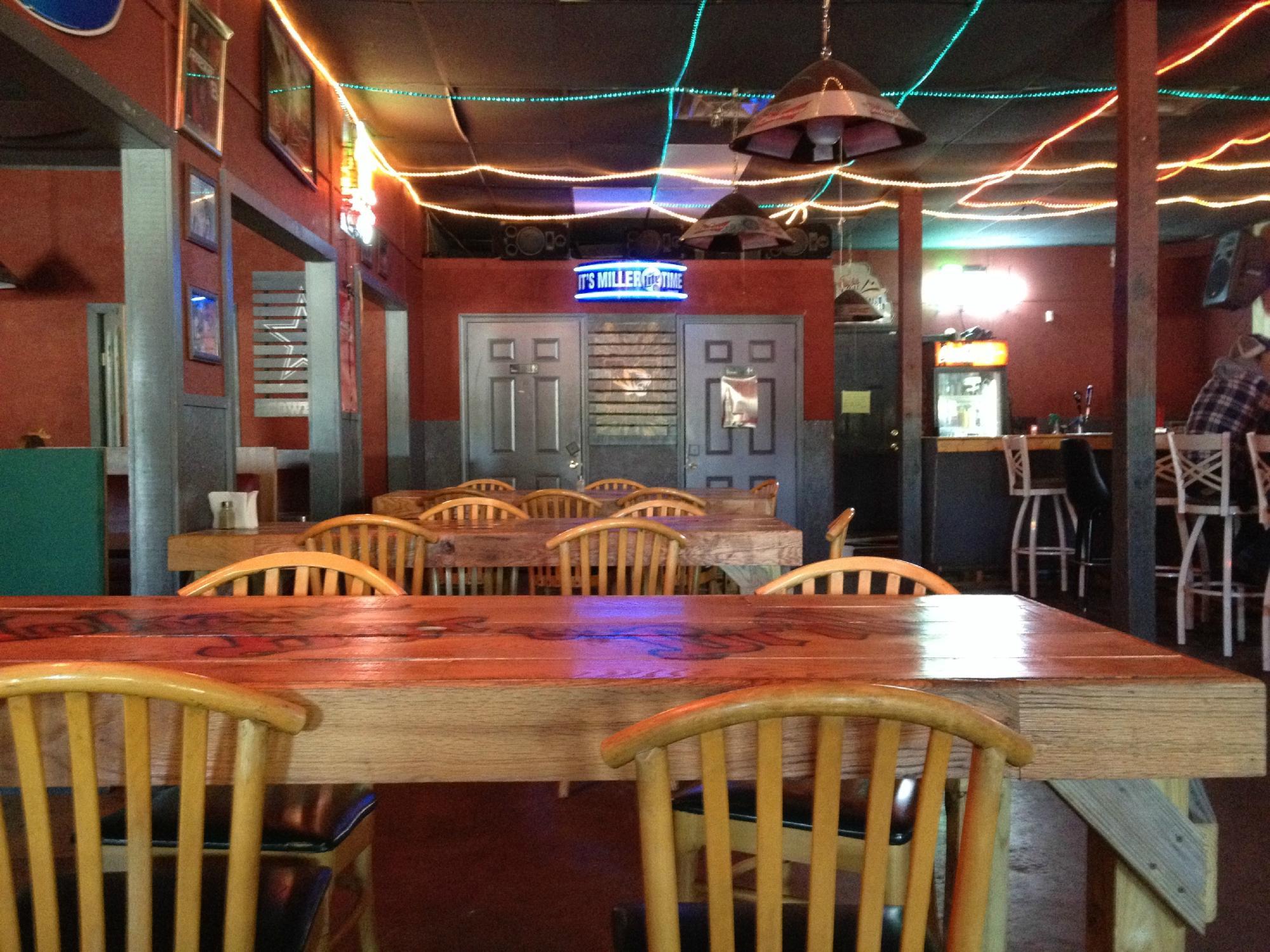
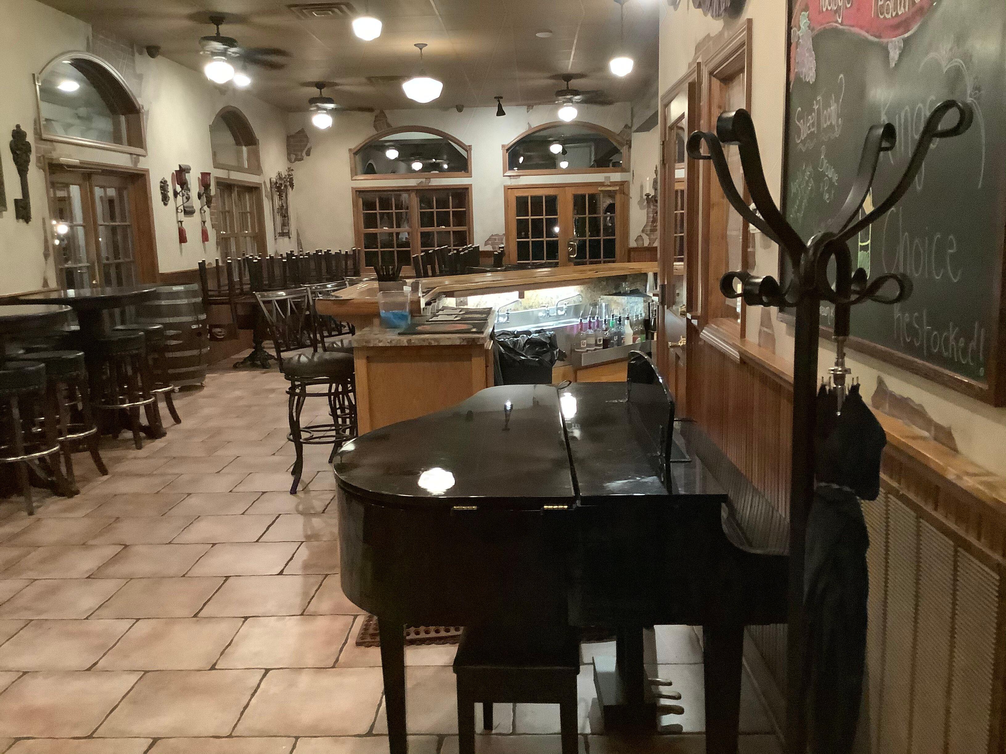
Eat and drink your way through town.
Can't-miss activities
Culture, natural beauty, and plain old fun.
Places to stay
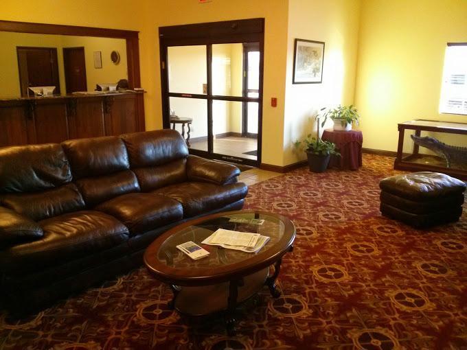
Hang your (vacation) hat in a place that’s just your style.
Advertisement


