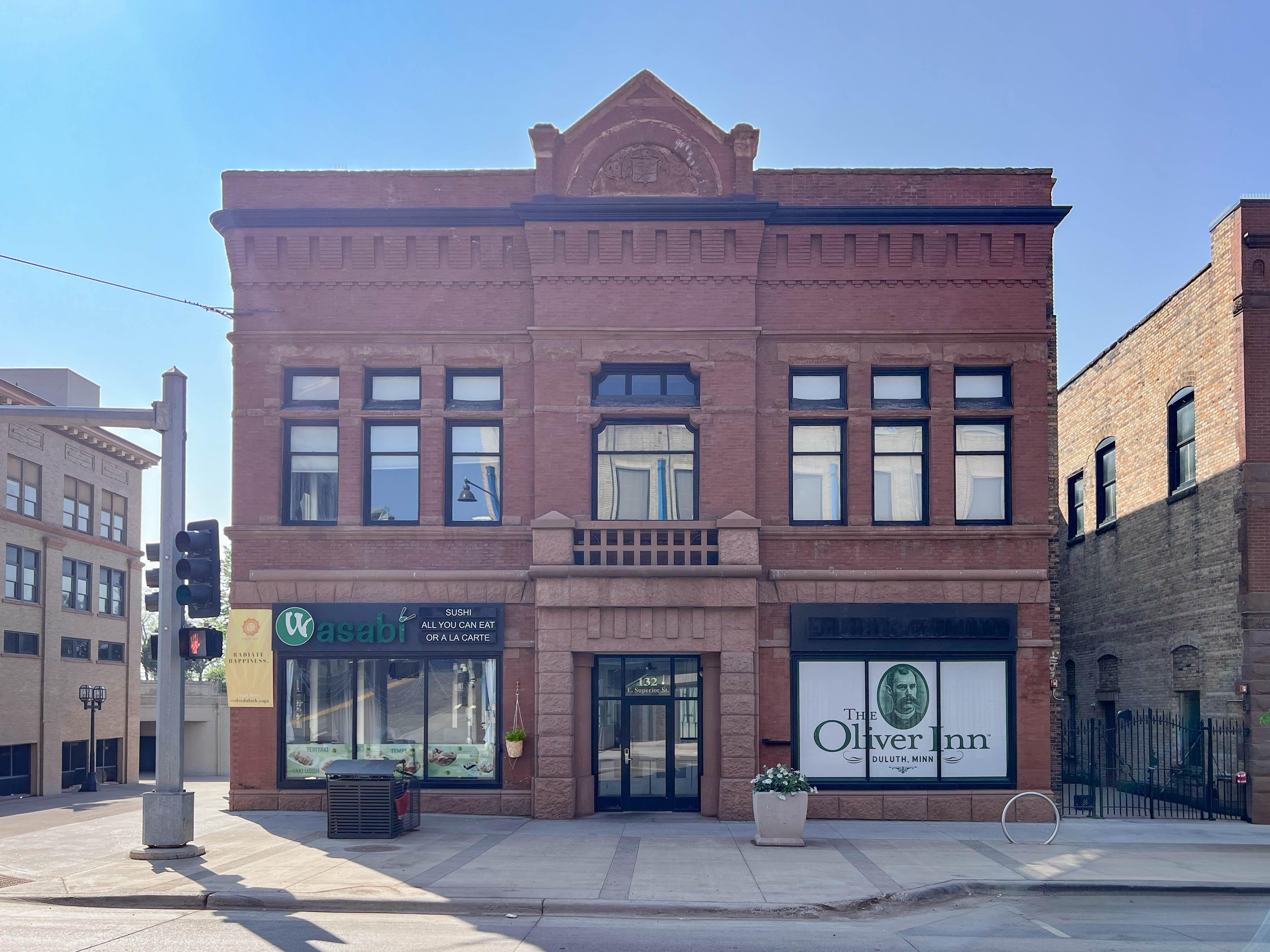
Duluth, MN
Advertisement
Duluth Map
Duluth is a port city in the U.S. state of Minnesota and is the county seat of Saint Louis County. The fourth largest city in Minnesota, Duluth had a total population of 86,265 in the 2010 census. Duluth is also the second largest city that is located on Lake Superior after Thunder Bay, Ontario, and has the largest metropolitan area on Lake Superior. The Duluth MSA had a population of 279,771 in 2010. Situated at the westernmost point of the Great Lakes on the north shore of Lake Superior, Duluth is deep-water accessible to the Atlantic Ocean 2,300 miles (3,700 km) away via the Great Lakes and Erie Canal/New York State Barge Canal or Saint Lawrence Seaway passages.
Duluth forms a metropolitan area with Superior, Wisconsin called the Twin Ports. These two cities share the Duluth–Superior harbor and together are the Great Lakes' largest port transporting coal, iron ore (taconite), and grain. As a tourist destination for the Midwest, Duluth features America's only all-freshwater aquarium, the Great Lakes Aquarium; the Aerial Lift Bridge, which spans the Duluth Ship Canal into the Duluth Harbor; and Minnesota Point (known as Park Point locally), one of the world's longest freshwater sand spits, spanning 6 miles (9.7 km). The city is also the starting point for vehicle trips along Minnesota's famous North Shore.
The city is named for Daniel Greysolon, Sieur du Lhut, the first known European explorer of the area.
Nearby cities include Esko, Carlton, Cloquet, Wrenshall, Hermantown.
US > MN > DuluthPlaces in Duluth
Dine and drink
Eat and drink your way through town.
Can't-miss activities
Culture, natural beauty, and plain old fun.
Places to stay
Hang your (vacation) hat in a place that’s just your style.
Advertisement


