Baldwinville, MA
Advertisement
Baldwinville, MA Map
Baldwinville is a US city in Worcester County in the state of Massachusetts. Located at the longitude and latitude of -72.075300, 42.610300 and situated at an elevation of 271 meters. In the 2020 United States Census, Baldwinville, MA had a population of 2,117 people. Baldwinville is in the Eastern Standard Time timezone at Coordinated Universal Time (UTC) -5. Find directions to Baldwinville, MA, browse local businesses, landmarks, get current traffic estimates, road conditions, and more.
Baldwinville, Massachusetts, is a small, charming village with a rich historical tapestry. Known for its serene New England landscape, it offers visitors a glimpse into classic Americana. One of the notable historical landmarks in Baldwinville is the Templeton Common Historic District, which showcases beautiful 18th and 19th-century architecture, reflecting the town's historical significance. The district is a testament to Baldwinville's roots and provides a picturesque setting for leisurely walks or historical tours.
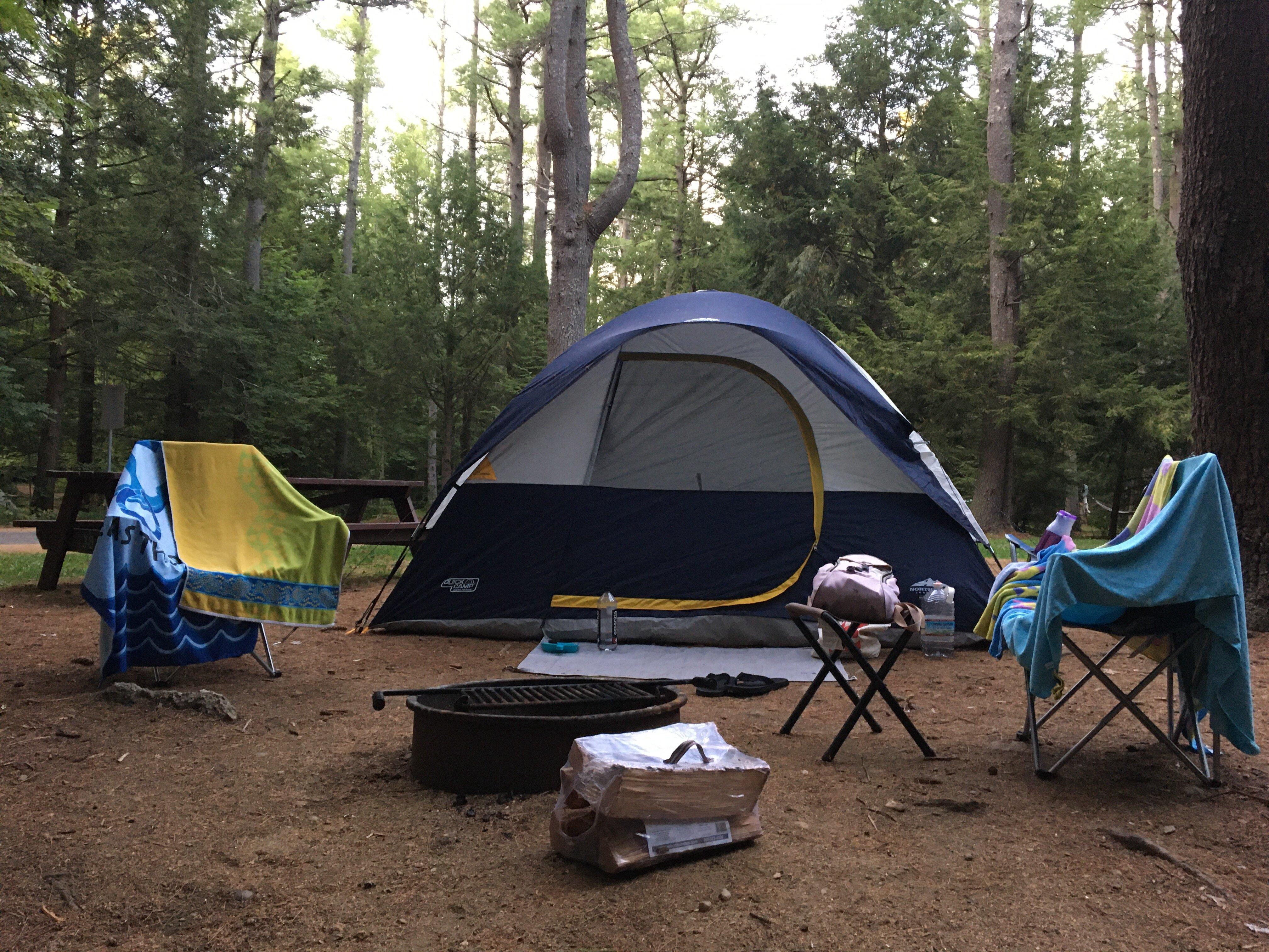
In addition to its historical charm, Baldwinville is home to scenic outdoor spots like Otter River State Forest, which is a popular destination for camping, hiking, and wildlife observation. This natural haven offers a peaceful retreat for nature enthusiasts and families looking to enjoy the great outdoors. The town's quaint atmosphere, combined with its historical and natural attractions, makes Baldwinville a delightful destination for those seeking a quiet getaway steeped in history and natural beauty.
Nearby cities include: Templeton, MA, Gardner, MA, Phillipston, MA, Winchendon, MA, Royalston, MA, Athol, MA, Ashburnham, MA, Westminster, MA, Hubbardston, MA, Rindge, NH.
Places in Baldwinville
Dine and drink
Eat and drink your way through town.
Can't-miss activities
Culture, natural beauty, and plain old fun.
Places to stay
Hang your (vacation) hat in a place that’s just your style.
Advertisement


