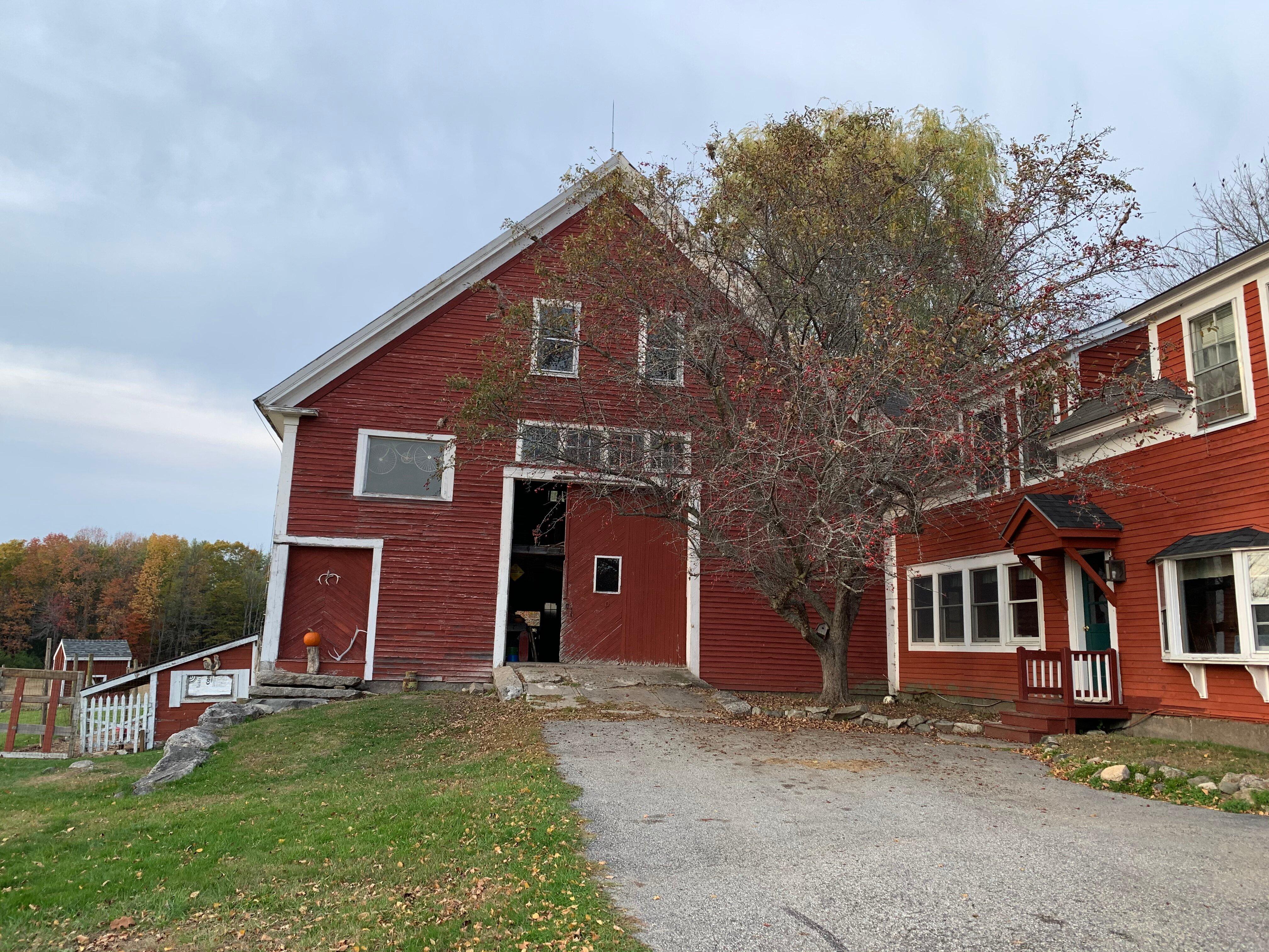
Otisfield, ME
Advertisement
Otisfield, ME Map
Otisfield is a US city in Oxford County in the state of Maine. Located at the longitude and latitude of -70.539722, 44.079167 and situated at an elevation of 203 meters. In the 2020 United States Census, Otisfield, ME had a population of 1,853 people. Otisfield is in the Eastern Standard Time timezone at Coordinated Universal Time (UTC) -5. Find directions to Otisfield, ME, browse local businesses, landmarks, get current traffic estimates, road conditions, and more.
Otisfield, located in the scenic state of Maine, is a quintessential New England town celebrated for its natural beauty and tranquil charm. Known for its captivating landscapes, Otisfield is a haven for outdoor enthusiasts and those seeking a peaceful retreat. One of the town's most cherished spots is Pleasant Lake, a pristine body of water ideal for swimming, boating, and fishing. The lake's serene environment makes it a perfect spot for picnics and leisurely strolls along its shores. Additionally, Otisfield is home to several charming hiking trails that offer picturesque views of the Maine countryside, making it a popular destination for nature lovers.
The history of Otisfield is rooted in its establishment in the late 18th century, with a rich heritage that reflects the broader history of rural New England. The town was incorporated in 1798 and has since maintained its quaint, small-town feel. The historic Bell Hill Meetinghouse is a notable landmark, offering a glimpse into the architectural and cultural past of the area. This well-preserved building, along with other historic sites, provides visitors with an opportunity to explore the town's historical narrative. Otisfield's blend of natural splendor and historical significance makes it a unique and inviting destination for those looking to experience the authentic essence of Maine.
Nearby cities include: Oxford, ME, Casco, ME, Harrison, ME, Poland, ME, Mechanic Falls, ME, Naples, ME, Bridgton, ME, Norway, ME, South Paris, ME, Hebron, ME.
Places in Otisfield
Dine and drink
Eat and drink your way through town.
Can't-miss activities
Culture, natural beauty, and plain old fun.
Places to stay
Hang your (vacation) hat in a place that’s just your style.
Advertisement


