Wilder, KY
Advertisement
Wilder, KY Map
Wilder is a US city in Campbell County in the state of Kentucky. Located at the longitude and latitude of -84.477500, 39.047200 and situated at an elevation of 165 meters. In the 2020 United States Census, Wilder, KY had a population of 3,176 people. Wilder is in the Eastern Standard Time timezone at Coordinated Universal Time (UTC) -5. Find directions to Wilder, KY, browse local businesses, landmarks, get current traffic estimates, road conditions, and more.
Wilder, Kentucky, is a small city that holds a unique charm, blending suburban tranquility with rich historical undertones. Known for its connection to the infamous Bobby Mackey's Music World, often referred to as "the most haunted nightclub in America," Wilder attracts both ghost enthusiasts and country music fans. The nightclub's storied past and paranormal reputation make it a popular destination for thrill-seekers and curious visitors. Besides its spectral allure, Wilder offers a serene environment with inviting green spaces and parks that provide a peaceful retreat for locals and tourists alike.
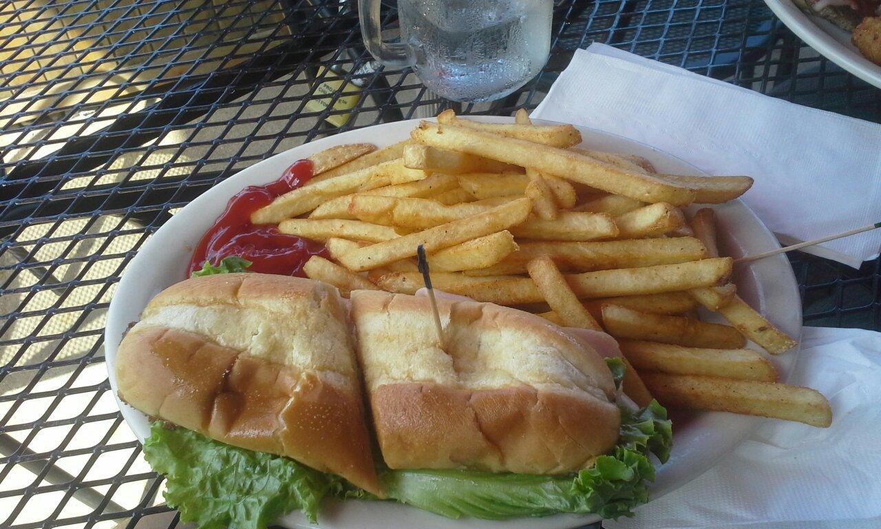
History in Wilder is palpable, with remnants of its past woven into the fabric of the community. The city played a role in the industrial development of the region, and its evolution is mirrored in the architecture and layout of the area. Visitors to Wilder can enjoy exploring the local dining options, which range from classic American fare to diverse culinary experiences. While not a bustling metropolis, Wilder's charm lies in its ability to offer both a glimpse into Kentucky's storied past and a peaceful respite from the hustle and bustle of larger cities.
Nearby cities include: Highland Heights, KY, Southgate, KY, Covington, KY, Kenton Vale, KY, Fort Thomas, KY, Taylor Mill, KY, Newport, KY, Woodlawn, KY, Fort Wright, KY, Park Hills, KY.
Places in Wilder
Dine and drink
Eat and drink your way through town.
Can't-miss activities
Culture, natural beauty, and plain old fun.
Places to stay
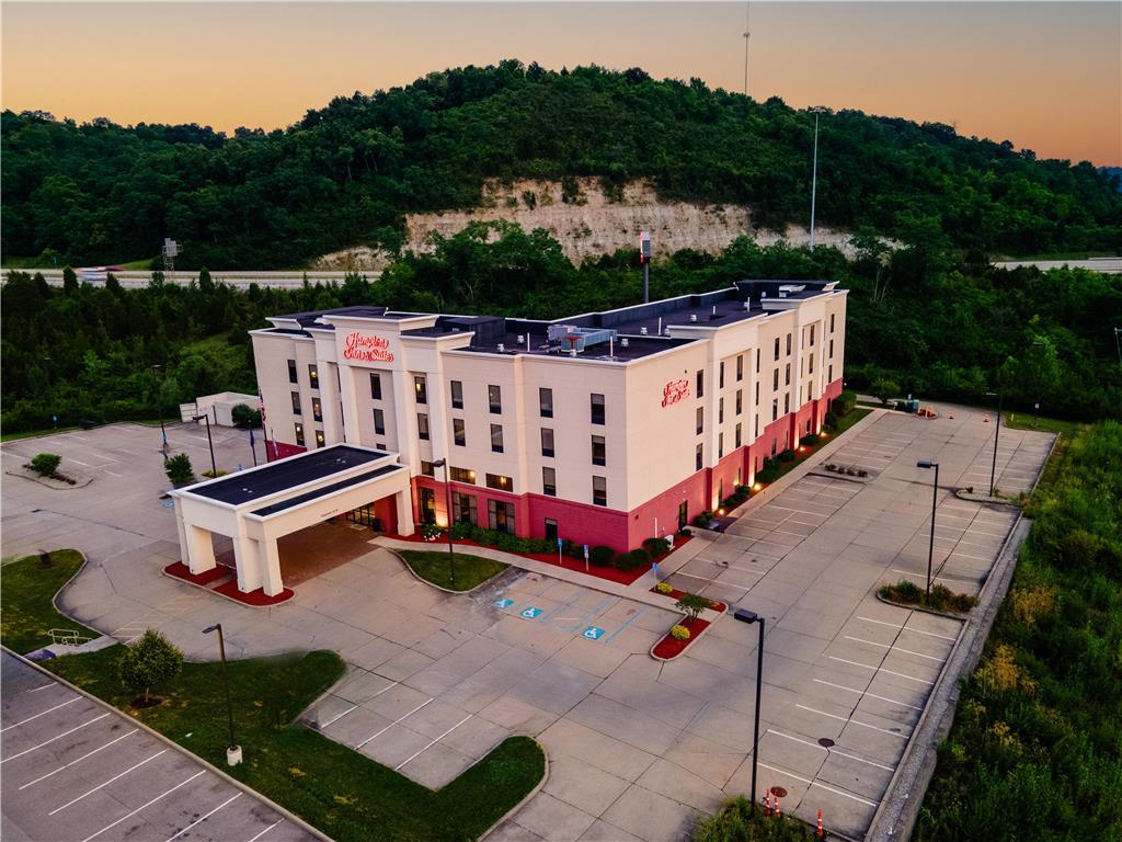
Hang your (vacation) hat in a place that’s just your style.
Advertisement


