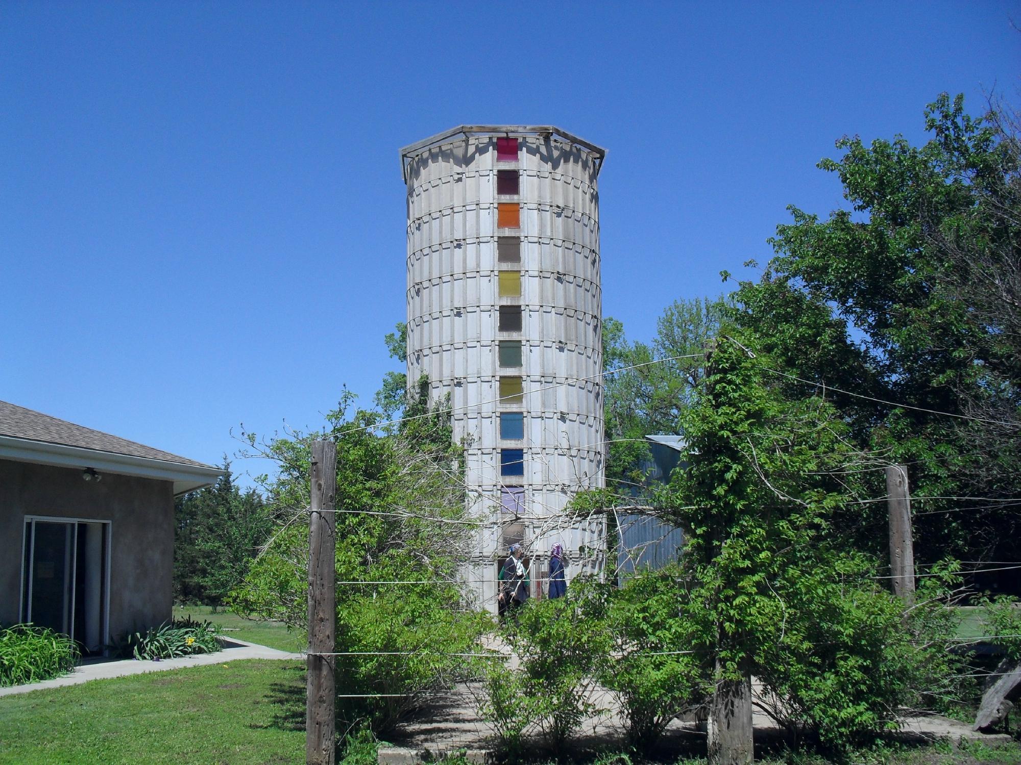
Olmitz, KS
Advertisement
Olmitz, KS Map
Olmitz is a US city in Barton County in the state of Kansas. Located at the longitude and latitude of -98.937500, 38.516400 and situated at an elevation of 614 meters. In the 2020 United States Census, Olmitz, KS had a population of 90 people. Olmitz is in the Central Standard Time timezone at Coordinated Universal Time (UTC) -6. Find directions to Olmitz, KS, browse local businesses, landmarks, get current traffic estimates, road conditions, and more.
Olmitz, located in the heart of Kansas, is a small city with a rich history and a tight-knit community atmosphere. Known for its agricultural roots, Olmitz offers a glimpse into the traditional rural lifestyle of the American Midwest. The city is home to several historic structures that tell the story of its past, including charming churches and century-old buildings that have stood the test of time. These sites offer a quaint and nostalgic experience for visitors interested in the historical evolution of small-town America.
In addition to its historical significance, Olmitz provides a peaceful retreat for those looking to explore the natural beauty of Kansas. The surrounding landscape is characterized by rolling plains and open skies, ideal for outdoor activities such as hiking and bird watching. Visitors often enjoy the local parks and community events that highlight the city's friendly and welcoming spirit. While Olmitz may not be a bustling metropolis, its serene environment and historical charm make it a unique destination for those seeking a quiet getaway with a touch of history.
Nearby cities include: Albion, KS, Albert, KS, Otis, KS, Hoisington, KS, Galatia, KS, Buffalo, KS, Clarence, KS, South Homestead, KS, North Homestead, KS, Pleasantdale, KS.
Places in Olmitz
Dine and drink
Eat and drink your way through town.
Can't-miss activities
Culture, natural beauty, and plain old fun.
Places to stay
Hang your (vacation) hat in a place that’s just your style.
Advertisement


