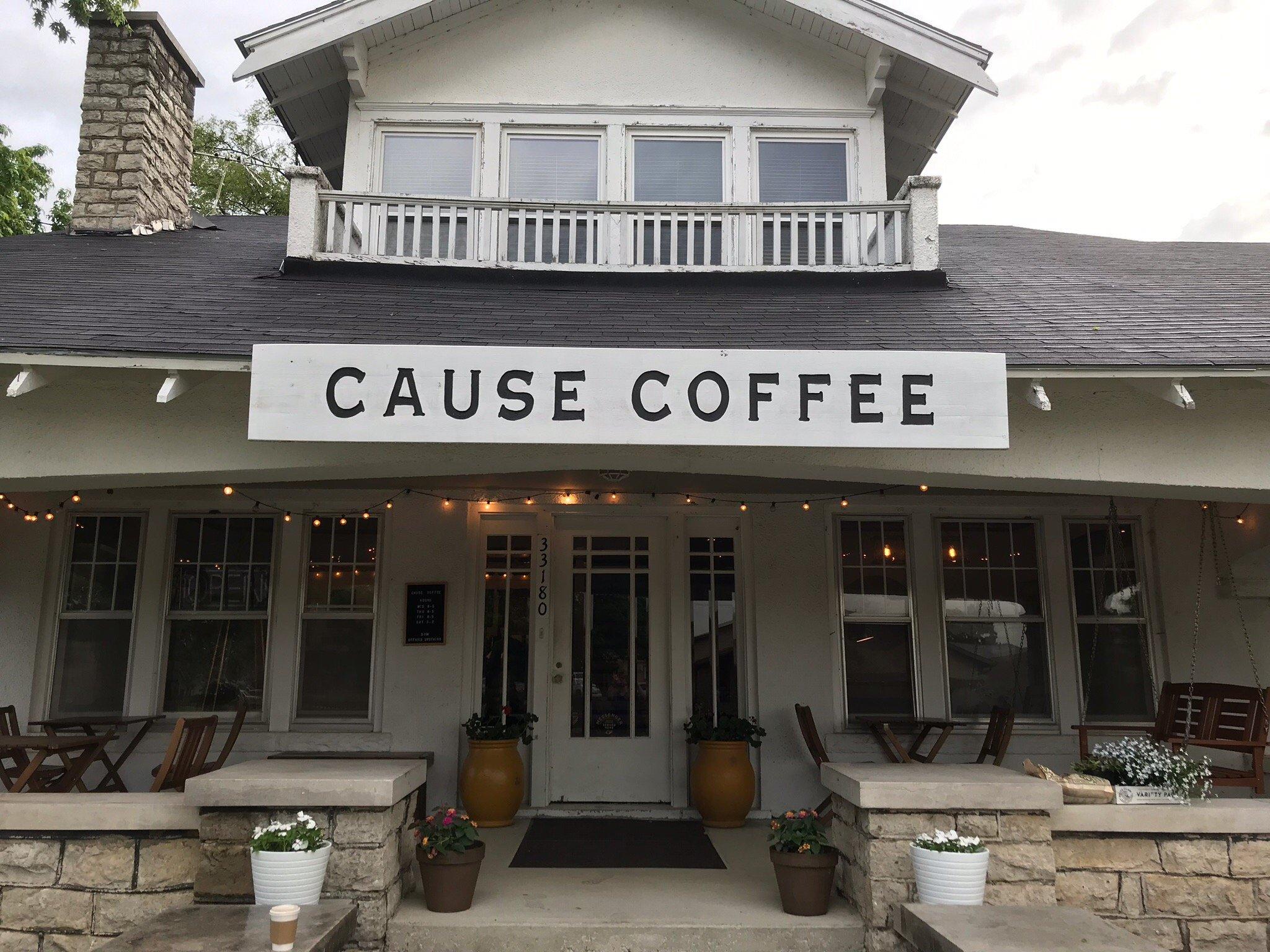
de Soto, KS
Advertisement
De Soto, KS Map
De Soto is a US city in Johnson County in the state of Kansas. Located at the longitude and latitude of -94.962200, 38.965000 and situated at an elevation of 262 meters. In the 2020 United States Census, De Soto, KS had a population of 6,118 people. De Soto is in the Central Standard Time timezone at Coordinated Universal Time (UTC) -6. Find directions to De Soto, KS, browse local businesses, landmarks, get current traffic estimates, road conditions, and more.
De Soto, Kansas, is a quaint city that combines historical charm with a welcoming community vibe. Known for its roots dating back to the mid-19th century, De Soto was named after the Spanish explorer Hernando de Soto, and it has grown into a city that values its heritage while embracing modern development. This city is home to several parks and recreational areas, offering ample opportunities for outdoor activities and family-friendly fun. One of the standout attractions in De Soto is Riverfest Park, which hosts various community events and provides scenic views of the Kansas River, making it a perfect spot for picnics and leisurely strolls.
History enthusiasts will appreciate De Soto's well-preserved historical sites, such as the De Soto Historical Society Museum, which offers insights into the area's past through exhibits and local artifacts. The city is also known for its vibrant community events, including the annual De Soto Days Festival, which celebrates local culture with parades, live music, and crafts. Dining options in De Soto range from cozy cafes to delightful local eateries, providing a taste of Kansas hospitality. Whether you're visiting for its history, natural beauty, or community spirit, De Soto offers a slice of small-town America with a rich tapestry of experiences.
Nearby cities include: Sherman, KS, Lexington, KS, Linwood, KS, Olathe, KS, Eudora, KS, Bonner Springs, KS, Eudora, KS, Reno, KS, Olathe, KS, Edwardsville, KS.
Places in De Soto
Dine and drink
Eat and drink your way through town.
Can't-miss activities
Culture, natural beauty, and plain old fun.
Places to stay
Hang your (vacation) hat in a place that’s just your style.
Advertisement


