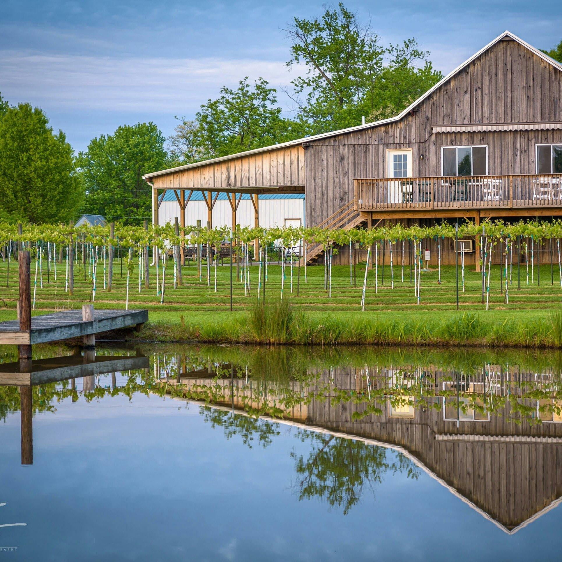
Saint Leon, IN
Advertisement
Saint Leon, IN Map
Saint Leon is a US city in Dearborn County in the state of Indiana. Located at the longitude and latitude of -84.958056, 39.291944 and situated at an elevation of 308 meters. In the 2020 United States Census, Saint Leon, IN had a population of 660 people. Saint Leon is in the Eastern Standard Time timezone at Coordinated Universal Time (UTC) -5. Find directions to Saint Leon, IN, browse local businesses, landmarks, get current traffic estimates, road conditions, and more.
Saint Leon, located in the state of Indiana, is a charming small town known for its tight-knit community and serene rural landscapes. The town is a blend of historical roots and contemporary living, offering visitors a glimpse into the simple yet fulfilling lifestyle of rural Indiana. One of the town's notable attractions is the Saint Joseph Church, a beautiful example of classic architectural design that has been a spiritual and community center since its establishment. The town's history is deeply intertwined with its European immigrant roots, which is reflected in its cultural events and local traditions.
Beyond its historical significance, Saint Leon offers a variety of recreational activities, especially for those who enjoy the outdoors. The town is surrounded by picturesque countryside, making it ideal for hiking, cycling, and nature walks. Additionally, local farms often open their doors to visitors for tours and fresh produce markets, providing a taste of the region's agricultural heritage. Although it may not boast the hustle and bustle of a large city, Saint Leon's quaint charm and community spirit make it a delightful destination for those seeking a peaceful retreat.
Nearby cities include: Kelso, IN, Highland, IN, Logan, IN, Cedar Grove, IN, Whitewater, IN, Sunman, IN, Harrison, OH, Miller, IN, Mount Carmel, IN, Brookville, IN.
Places in Saint Leon
Dine and drink
Eat and drink your way through town.
Can't-miss activities
Culture, natural beauty, and plain old fun.
Places to stay
Hang your (vacation) hat in a place that’s just your style.
Advertisement


