Oldenburg, IN
Advertisement
Oldenburg, IN Map
Oldenburg is a US city in Franklin County in the state of Indiana. Located at the longitude and latitude of -85.204700, 39.339400 and situated at an elevation of 271 meters. In the 2020 United States Census, Oldenburg, IN had a population of 647 people. Oldenburg is in the Eastern Standard Time timezone at Coordinated Universal Time (UTC) -5. Find directions to Oldenburg, IN, browse local businesses, landmarks, get current traffic estimates, road conditions, and more.
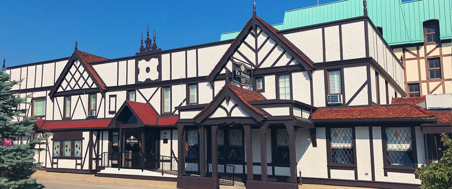
Oldenburg, Indiana, is a quaint town known for its rich German heritage and distinct architecture, often referred to as the "Village of Spires" due to its numerous church steeples. This unique character is attributed to its founding by German settlers in the 19th century, who infused the town with a European charm that continues to attract visitors. The town is particularly noted for the Holy Family Catholic Church, an impressive example of Gothic Revival architecture that stands as a testament to the town's historical roots.
Popular places in Oldenburg include the Oldenburg Franciscan Center, which offers a peaceful retreat and a glimpse into the town's spiritual history. The town also hosts the Freudenfest, a lively annual festival celebrating its German culture with traditional music, food, and crafts. Visitors can stroll through the town's inviting streets, lined with well-preserved historical buildings, or explore the local shops and eateries that offer a taste of authentic German cuisine. Oldenburg's charming atmosphere and rich cultural heritage make it a unique destination for those interested in history and architecture.
Nearby cities include: Ray, IN, Batesville, IN, Salt Creek, IN, Laughery, IN, New Point, IN, Saltcreek, IN, Metamora, IN, Fugit, IN, Sunman, IN, Clarksburg, IN.
Places in Oldenburg
Dine and drink
Eat and drink your way through town.
Can't-miss activities
Culture, natural beauty, and plain old fun.
Places to stay
Hang your (vacation) hat in a place that’s just your style.
Advertisement


