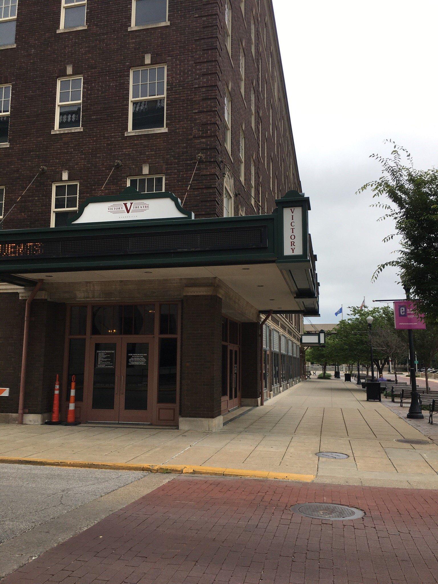
Evansville, IN
Advertisement
Evansville, IN Map
Evansville is a US city in Vanderburgh County in the state of Indiana. Located at the longitude and latitude of -87.555833, 37.974722 and situated at an elevation of 118 meters. In the 2020 United States Census, Evansville, IN had a population of 117,298 people. Evansville is in the Central Standard Time timezone at Coordinated Universal Time (UTC) -6. Find directions to Evansville, IN, browse local businesses, landmarks, get current traffic estimates, road conditions, and more.
Evansville, located in the southwestern corner of Indiana, is a city steeped in history and known for its vibrant cultural scene. Established in 1812, it has grown into a significant hub for commerce and industry, thanks in part to its strategic location along the Ohio River. Historically, Evansville played a crucial role during the Civil War as a supply depot for the Union Army. Today, the city embraces its past while offering modern attractions that draw both locals and visitors alike.
Among the popular places in Evansville is the Mesker Park Zoo and Botanic Garden, a family-friendly destination that hosts a diverse array of animal habitats and botanical wonders. The city is also home to the Evansville Museum of Arts, History & Science, where visitors can explore a blend of artistic, historical, and scientific exhibits. Downtown Evansville features the Ford Center, a multipurpose arena that hosts concerts, sporting events, and shows. Additionally, the historic Bosse Field, one of the oldest baseball stadiums in the United States, offers a nostalgic experience for sports enthusiasts. Whether exploring its historical sites or enjoying its modern amenities, Evansville provides a well-rounded experience for travelers.
Nearby cities include: Pigeon, IN, Highland, IN, Newburgh, IN, Darmstadt, IN, Henderson, KY, Campbell, IN, Chandler, IN, Spottsville, KY, Robinson, IN, Elberfeld, IN.
Map of Evansville, IN

Places in Evansville
Dine and drink
Eat and drink your way through town.
Can't-miss activities
Culture, natural beauty, and plain old fun.
Places to stay
Hang your (vacation) hat in a place that’s just your style.
Advertisement


