Cantrall, IL
Advertisement
Cantrall, IL Map
Cantrall is a US city in Sangamon County in the state of Illinois. Located at the longitude and latitude of -89.676700, 39.936900 and situated at an elevation of 591 meters. In the 2020 United States Census, Cantrall, IL had a population of 144 people. Cantrall is in the Central Standard Time timezone at Coordinated Universal Time (UTC) -6. Find directions to Cantrall, IL, browse local businesses, landmarks, get current traffic estimates, road conditions, and more.
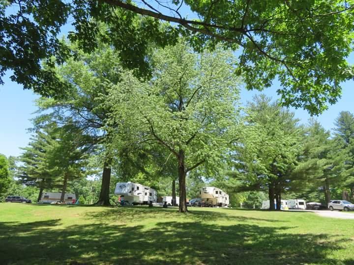
Cantrall, Illinois, is a small village that offers a glimpse into the serene rural life of the Midwest. Known primarily for its tight-knit community and agricultural roots, Cantrall provides a peaceful retreat away from the hustle and bustle of urban centers. The village is characterized by its scenic landscapes, dotted with sprawling fields and open skies, which are perfect for those who appreciate the tranquility of nature. Visitors often appreciate the local charm and the friendly atmosphere that defines this quaint village.
The history of Cantrall is deeply intertwined with the development of the railroads and agriculture in the region. This historical backdrop contributes to the village's character, with several buildings and sites reflecting the architectural styles of the late 19th and early 20th centuries. While Cantrall may not boast a plethora of tourist attractions, its charm lies in its simplicity and the genuine hospitality of its residents. For those interested in exploring rural American life, Cantrall offers an authentic experience that is both relaxing and enriching.
Nearby cities include: Fancy Creek, IL, Athens, IL, Sherman, IL, Williamsville, IL, Williams, IL, Gardner, IL, Spaulding, IL, Grandview, IL, Riverton, IL, Springfield, IL.
Places in Cantrall
Dine and drink
Eat and drink your way through town.
Can't-miss activities
Culture, natural beauty, and plain old fun.
Places to stay
Hang your (vacation) hat in a place that’s just your style.
Advertisement


