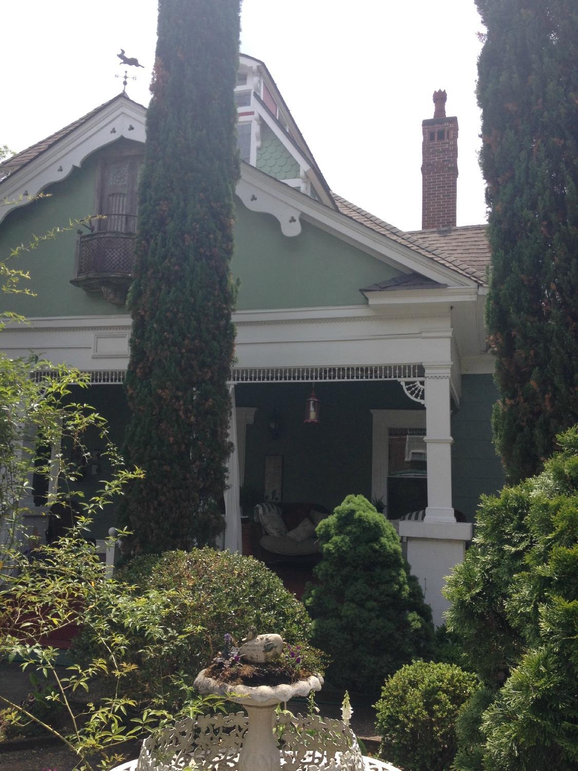
Hapeville, GA
Advertisement
Hapeville, GA Map
Hapeville is a US city in Fulton County in the state of Georgia. Located at the longitude and latitude of -84.410300, 33.662500 and situated at an elevation of 305 meters. In the 2020 United States Census, Hapeville, GA had a population of 6,553 people. Hapeville is in the Eastern Standard Time timezone at Coordinated Universal Time (UTC) -5. Find directions to Hapeville, GA, browse local businesses, landmarks, get current traffic estimates, road conditions, and more.
Hapeville, Georgia is a small city with a rich history and a welcoming atmosphere. Known primarily for its connection to the aviation industry, Hapeville is home to the original site of Delta Air Lines, where the airline's first headquarters was established. This aviation heritage is celebrated at the Delta Flight Museum, located nearby, which offers visitors an engaging experience with exhibits detailing the history of flight and Delta's role in it. The city also boasts the Porsche Experience Center, where automobile enthusiasts can enjoy the thrill of driving on a test track and explore exhibits on Porsche's storied legacy.
In addition to its ties to aviation and automotive industries, Hapeville is known for its vibrant art scene, seen in the public artworks scattered throughout the city. The downtown area is a charming blend of history and modernity, with a variety of restaurants, cafes, and shops that cater to both locals and tourists. Hapeville also hosts several community events throughout the year, such as the annual Happy Days Festival, which brings together residents and visitors for a celebration of local culture and community spirit. With its unique blend of history, industry, and culture, Hapeville offers a distinctive experience for those exploring the Atlanta metropolitan area.
Nearby cities include: East Point, GA, College Park, GA, Forest Park, GA, Conley, GA, Lake City, GA, Atlanta, GA, Riverdale, GA, Morrow, GA, Candler-McAfee, GA, Union City, GA.
Places in Hapeville
Dine and drink
Eat and drink your way through town.
Can't-miss activities
Culture, natural beauty, and plain old fun.
Places to stay
Hang your (vacation) hat in a place that’s just your style.
Advertisement


