Flovilla, GA
Advertisement
Flovilla, GA Map
Flovilla is a US city in Butts County in the state of Georgia. Located at the longitude and latitude of -83.902902, 33.252406 and situated at an elevation of 180 meters. In the 2020 United States Census, Flovilla, GA had a population of 643 people. Flovilla is in the Eastern Standard Time timezone at Coordinated Universal Time (UTC) -5. Find directions to Flovilla, GA, browse local businesses, landmarks, get current traffic estimates, road conditions, and more.
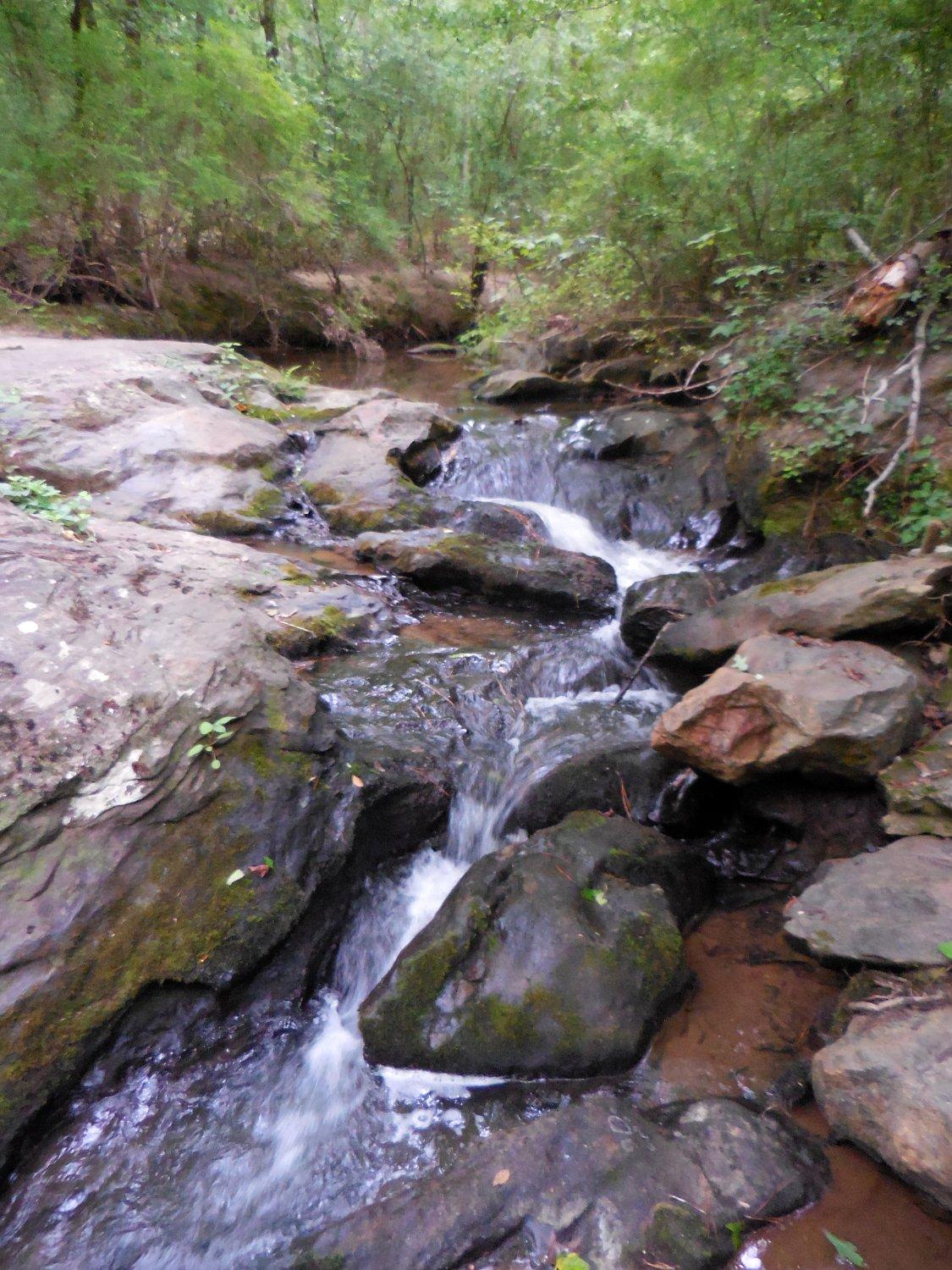
Flovilla, located in the state of Georgia, is a small city that holds historical significance and natural beauty. It is perhaps best known for its proximity to Indian Springs State Park, one of the oldest state parks in the United States. The park is a popular destination for visitors who come to enjoy its natural mineral springs, hiking trails, and picturesque landscapes. The springs have been historically revered by Native American tribes and later became a favored spot for early settlers seeking the therapeutic benefits of the mineral waters.
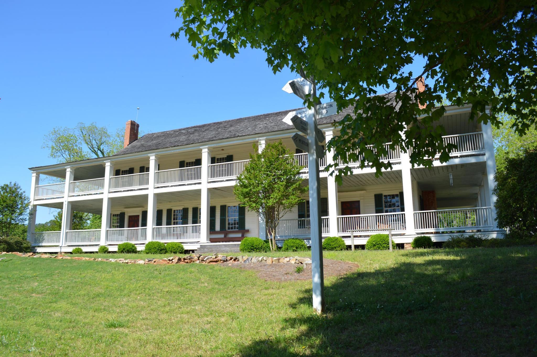
Flovilla's history is closely tied to the development of the railroads in the late 19th century, which played a crucial role in its growth. Today, visitors can explore the charming remnants of its past, including historic buildings and sites that reflect the city's heritage. While Flovilla itself is quiet and quaint, its historical roots and nearby natural attractions make it an interesting spot for those looking to explore Georgia's rich past and enjoy outdoor activities.
Nearby cities include: Jackson, GA, Jenkinsburg, GA, Juliette, GA, Monticello, GA, Locust Grove, GA, Forsyth, GA, Orchard Hill, GA, Milner, GA, McDonough, GA, Barnesville, GA.
Places in Flovilla
Dine and drink
Eat and drink your way through town.
Can't-miss activities
Culture, natural beauty, and plain old fun.
Places to stay
Hang your (vacation) hat in a place that’s just your style.
Advertisement


