Avondale Estates, GA
Advertisement
Avondale Estates, GA Map
Avondale Estates is a US city in DeKalb County in the state of Georgia. Located at the longitude and latitude of -84.265000, 33.770800 and situated at an elevation of 313 meters. In the 2020 United States Census, Avondale Estates, GA had a population of 3,567 people. Avondale Estates is in the Eastern Standard Time timezone at Coordinated Universal Time (UTC) -5. Find directions to Avondale Estates, GA, browse local businesses, landmarks, get current traffic estimates, road conditions, and more.
Avondale Estates, located in Georgia, is a city that is well-regarded for its distinctive Tudor-style architecture, which gives it a unique charm reminiscent of an English village. This architectural theme was implemented by George Francis Willis, who founded the city in the 1920s with the vision of creating a picturesque residential community. The city's historical significance is further underscored by its inclusion on the National Register of Historic Places, highlighting its well-preserved structures and planned layout that reflect early 20th-century suburban development.
Among the popular places in Avondale Estates is Avondale Towne Cinema, an iconic venue that hosts a variety of live performances and events, offering a vibrant cultural experience. Additionally, the city is known for its thriving arts scene, with galleries and studios scattered throughout, contributing to its reputation as a creative hub. The Avondale Estates Farmers Market is another local favorite, providing residents and visitors with access to fresh produce and artisanal goods. With its rich history and engaging local culture, Avondale Estates offers a quaint yet dynamic atmosphere for those exploring this Georgian gem.
Nearby cities include: Scottdale, GA, Decatur, GA, Candler-McAfee, GA, Clarkston, GA, Pine Lake, GA, Druid Hills, GA, Stone Mountain, GA, Tucker, GA, Atlanta, GA, Brookhaven, GA.
Places in Avondale Estates
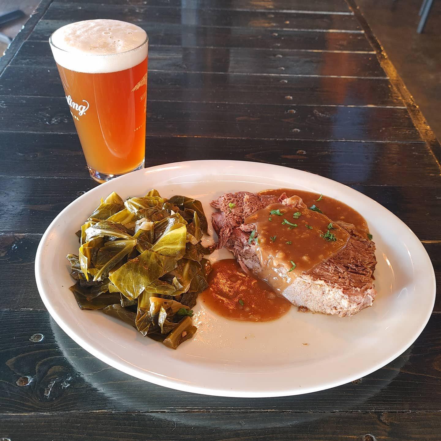
Dine and drink
Eat and drink your way through town.
Can't-miss activities
Culture, natural beauty, and plain old fun.
Places to stay
Hang your (vacation) hat in a place that’s just your style.
Advertisement


