Panacea, FL
Advertisement
Panacea, FL Map
Panacea is a US city in Wakulla County in the state of Florida. Located at the longitude and latitude of -84.393539, 30.031278 and situated at an elevation of 7 meters. In the 2020 United States Census, Panacea, FL had a population of 735 people. Panacea is in the Eastern Standard Time timezone at Coordinated Universal Time (UTC) -5. Find directions to Panacea, FL, browse local businesses, landmarks, get current traffic estimates, road conditions, and more.
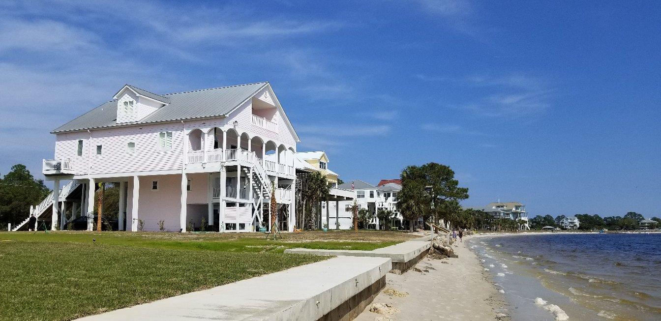
Panacea, Florida, is a quaint coastal town renowned for its natural beauty and serene environment. Historically, it gained recognition for its once-believed healing mineral springs, which drew visitors seeking rejuvenation in the early 20th century. While the springs may no longer be the main attraction, the town's charm remains intact, with its close relationship to the water and surrounding nature.
Visitors to Panacea can explore the Gulf Specimen Marine Lab, a fascinating destination that offers a hands-on experience with marine life and showcases the rich biodiversity of the Gulf of Mexico. For outdoor enthusiasts, the nearby St. Marks National Wildlife Refuge provides ample opportunities for birdwatching, hiking, and enjoying Florida's diverse ecosystems. The area's seafood, especially its oysters and blue crabs, is a culinary highlight, reflecting the town's deep connection to the Gulf's bounty. Panacea's blend of natural attractions and historical significance makes it a unique spot for those looking to experience Florida's quieter coastal side.
Nearby cities include: Sopchoppy, FL, Crawfordville, FL, Carrabelle, FL, Tallahassee, FL, Midway, FL, Wacissa, FL, Hosford, FL, Eastpoint, FL, Lloyd, FL, Quincy, FL.
Places in Panacea
Dine and drink
Eat and drink your way through town.
Can't-miss activities
Culture, natural beauty, and plain old fun.
Places to stay
Hang your (vacation) hat in a place that’s just your style.
Advertisement


