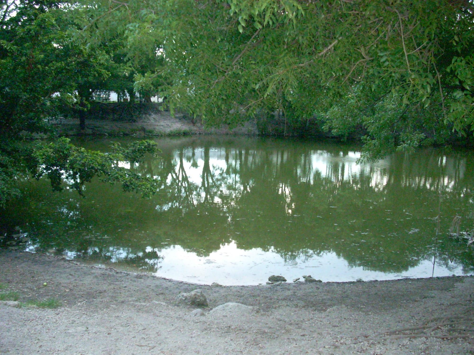
Palmetto Bay, FL
Advertisement
Palmetto Bay, FL Map
Palmetto Bay is a US city in Miami-Dade County in the state of Florida. Located at the longitude and latitude of -80.320703, 25.627186 and situated at an elevation of 1 meters. In the 2020 United States Census, Palmetto Bay, FL had a population of 24,439 people. Palmetto Bay is in the Eastern Standard Time timezone at Coordinated Universal Time (UTC) -5. Find directions to Palmetto Bay, FL, browse local businesses, landmarks, get current traffic estimates, road conditions, and more.
Palmetto Bay, nestled in the sunny state of Florida, is a charming village known for its lush landscapes and family-friendly environment. Often referred to as the "Village of Parks," it boasts an array of green spaces that offer both locals and visitors a serene escape from the hustle and bustle of city life. One of the most notable parks is Coral Reef Park, a sprawling area perfect for picnics, sports, and leisurely strolls. The village is also home to the Deering Estate, a historic landmark that offers a glimpse into Florida's rich past with its preserved buildings and beautiful natural surroundings. This estate serves as a cultural hub, hosting various events and art exhibitions throughout the year.
Palmetto Bay's history is relatively recent, having been incorporated as a village in 2002, but it carries a legacy of development that has transformed it into a vibrant community with a suburban feel. The area is known for its excellent schools and a strong sense of community, drawing families who appreciate a quieter lifestyle while still being within reach of Miami's urban attractions. The village's commitment to maintaining its natural beauty and promoting a high quality of life makes it a unique and inviting destination for those exploring the diverse offerings of Florida.
Nearby cities include: Cutler, FL, Pinecrest, FL, Kendall, FL, Cutler Bay, FL, The Crossings, FL, Sunset, FL, South Miami, FL, Olympia Heights, FL, Westwood Lakes, FL, Kendale Lakes, FL.
Places in Palmetto Bay
Dine and drink
Eat and drink your way through town.
Can't-miss activities
Culture, natural beauty, and plain old fun.
Places to stay
Hang your (vacation) hat in a place that’s just your style.
Advertisement


