Chattahoochee, FL
Advertisement
Chattahoochee, FL Map
Chattahoochee is a US city in Gadsden County in the state of Florida. Located at the longitude and latitude of -84.833333, 30.700000 and situated at an elevation of 236 meters. In the 2020 United States Census, Chattahoochee, FL had a population of 2,955 people. Chattahoochee is in the Eastern Standard Time timezone at Coordinated Universal Time (UTC) -5. Find directions to Chattahoochee, FL, browse local businesses, landmarks, get current traffic estimates, road conditions, and more.
Chattahoochee, Florida, is a small city with a rich historical tapestry and a serene natural setting. Known primarily for its significant role in mental health care history, the city is home to the Florida State Hospital, which was established in the 19th century as the state's first and largest mental health facility. The hospital's presence has been a defining element of Chattahoochee's identity, with its sprawling campus and historic architecture offering a glimpse into the past. Visitors can explore the grounds and appreciate the historical significance of the institution, which has impacted the community for generations.
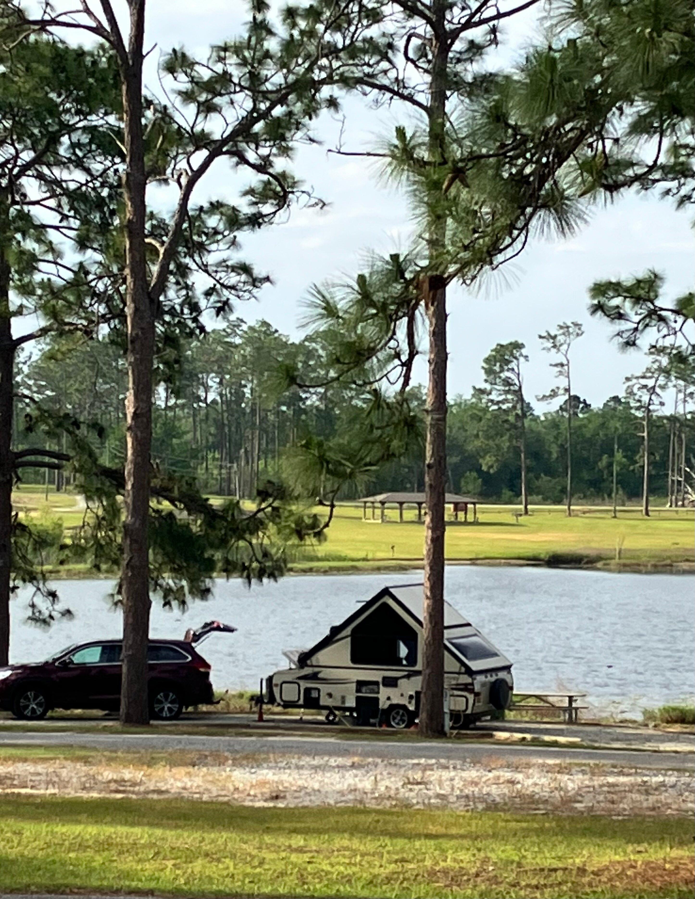
Beyond its historical roots, Chattahoochee is also celebrated for its proximity to natural attractions. The Apalachicola River runs nearby, providing opportunities for boating, fishing, and enjoying the peaceful surroundings. Additionally, Chattahoochee offers access to the beautiful Lake Seminole, a popular spot for outdoor activities such as bird watching and hiking. The city's small-town charm is complemented by its scenic beauty, making it a quiet yet intriguing destination for those interested in history and nature.
Nearby cities include: Sneads, FL, Greensboro, FL, Grand Ridge, FL, Gretna, FL, Quincy, FL, Altha, FL, Brinson, GA, Bristol, FL, Attapulgus, GA, Bainbridge, GA.
Places in Chattahoochee
Dine and drink
Eat and drink your way through town.
Can't-miss activities
Culture, natural beauty, and plain old fun.
Places to stay
Hang your (vacation) hat in a place that’s just your style.
Advertisement


