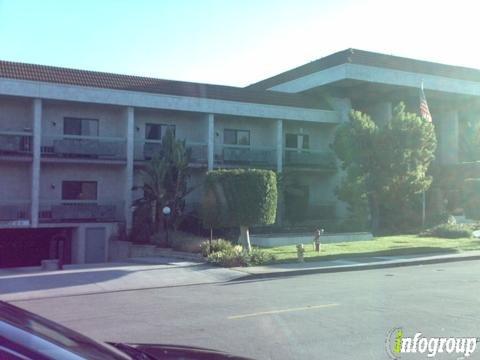
Temple City, CA
Advertisement
Temple City, CA Map
Temple City is a US city in Los Angeles County in the state of California. Located at the longitude and latitude of -118.058056, 34.102778 and situated at an elevation of 122 meters. In the 2020 United States Census, Temple City, CA had a population of 36,494 people. Temple City is in the Pacific Standard Time timezone at Coordinated Universal Time (UTC) -8. Find directions to Temple City, CA, browse local businesses, landmarks, get current traffic estimates, road conditions, and more.
Temple City, located in the sunny state of California, is known for its charming small-town atmosphere and rich cultural heritage. Established originally as a community for World War I veterans, the city has grown into a vibrant residential area while still maintaining its historical roots. One of its most celebrated events is the annual Camellia Festival, a tradition that began in 1944. This festival showcases a parade and carnival, celebrating the city's official flower and drawing visitors from around the region.
For those exploring Temple City, the Temple City Park is a popular spot, offering green spaces for relaxation and community events. Another significant attraction is the Live Oak Park, which provides recreational facilities such as tennis courts and picnic areas. The city's downtown area features a mix of local eateries and shops, reflecting its diverse community. Additionally, the historic Temple City Library serves as a cultural hub, hosting various community programs. Overall, Temple City offers a blend of historical charm and modern suburban living.
Nearby cities include: East San Gabriel, CA, Arcadia, CA, Rosemead, CA, El Monte, CA, San Gabriel, CA, East Pasadena, CA, San Marino, CA, South El Monte, CA, South San Gabriel, CA, Monrovia, CA.
Places in Temple City
Dine and drink
Eat and drink your way through town.
Can't-miss activities
Culture, natural beauty, and plain old fun.
Places to stay
Hang your (vacation) hat in a place that’s just your style.
Advertisement


