San Anselmo, CA
Advertisement
San Anselmo, CA Map
San Anselmo is a US city in Marin County in the state of California. Located at the longitude and latitude of -122.568056, 37.980000 and situated at an elevation of 14 meters. In the 2020 United States Census, San Anselmo, CA had a population of 12,830 people. San Anselmo is in the Pacific Standard Time timezone at Coordinated Universal Time (UTC) -8. Find directions to San Anselmo, CA, browse local businesses, landmarks, get current traffic estimates, road conditions, and more.
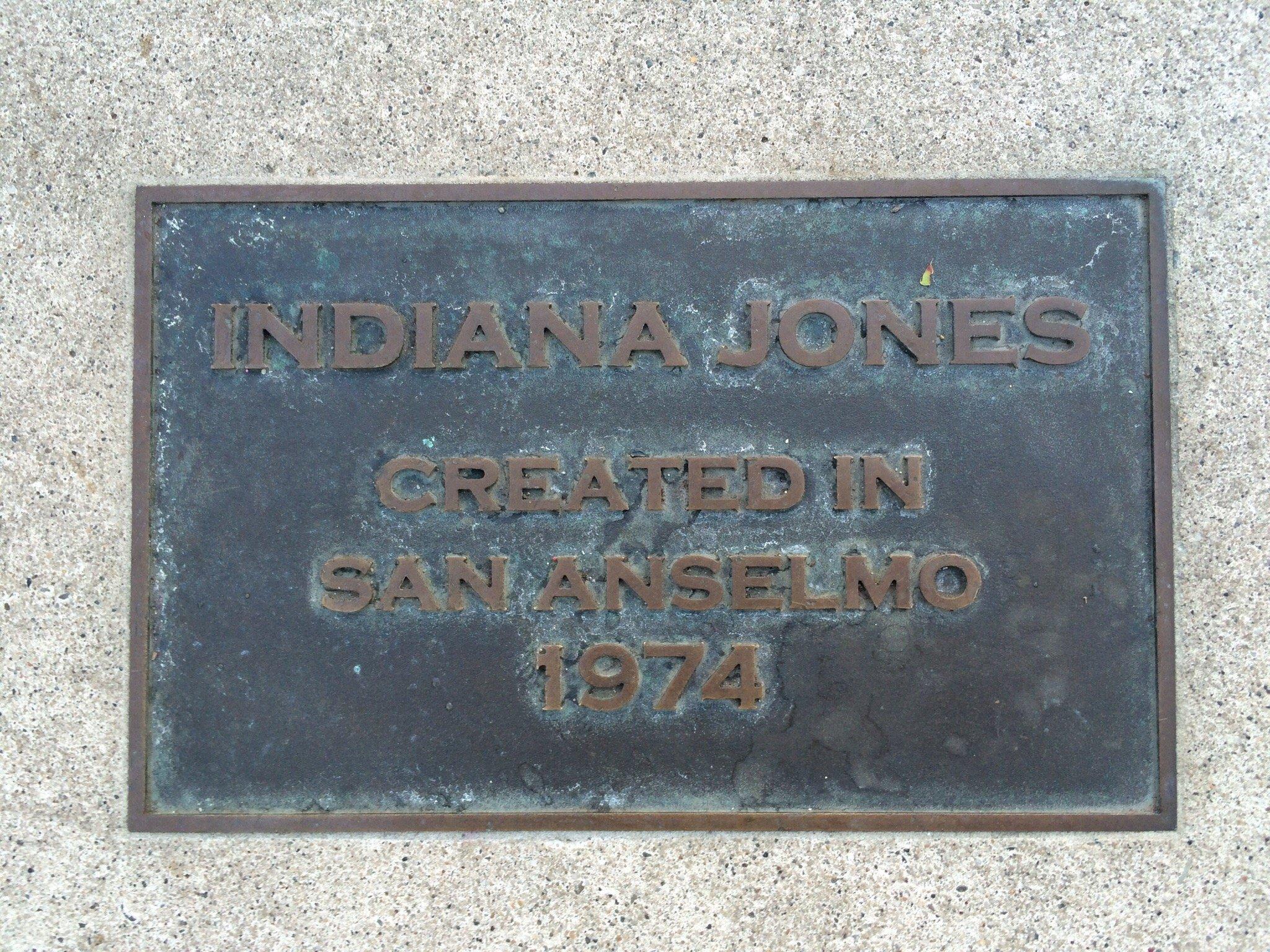
San Anselmo, located in the state of California, exudes a charming small-town vibe with a rich history and a welcoming community atmosphere. The city is particularly known for its picturesque downtown area, boasting an array of boutique shops, cafes, and antique stores that attract both locals and visitors. San Anselmo is home to the iconic Imagination Park, which features statues of Indiana Jones and Yoda, a nod to the town's connection with filmmaker George Lucas, who once lived in the area. The park serves as a delightful gathering spot for families and film enthusiasts alike.
The city's history traces back to the late 19th century, when it was established as a railroad town, and remnants of this history can still be seen in its architecture and layout. San Anselmo Avenue is a popular destination, offering a delightful stroll through its historic buildings, some of which date back to the early 1900s. For those interested in natural beauty, the nearby Mount Tamalpais State Park offers scenic hiking trails and breathtaking views of the surrounding landscape. Overall, San Anselmo is a blend of historical charm and modern-day allure, making it a unique destination for travelers seeking a serene yet culturally rich experience.
Nearby cities include: Fairfax, CA, Ross, CA, San Rafael, CA, Sleepy Hollow, CA, Santa Venetia, CA, Lucas Valley-Marinwood, CA, Larkspur, CA, Corte Madera, CA, Woodacre, CA, Mill Valley, CA.
Places in San Anselmo
Dine and drink
Eat and drink your way through town.
Can't-miss activities
Culture, natural beauty, and plain old fun.
Places to stay
Hang your (vacation) hat in a place that’s just your style.
Advertisement


