Irwindale, CA
Advertisement
Irwindale, CA Map
Irwindale is a US city in Los Angeles County in the state of California. Located at the longitude and latitude of -117.964444, 34.112500 and situated at an elevation of 143 meters. In the 2020 United States Census, Irwindale, CA had a population of 1,472 people. Irwindale is in the Pacific Standard Time timezone at Coordinated Universal Time (UTC) -8. Find directions to Irwindale, CA, browse local businesses, landmarks, get current traffic estimates, road conditions, and more.
Irwindale, California, is a city known for its industrial roots and a unique blend of history and motorsport culture. Predominantly recognized for its rock quarries, Irwindale has been a major supplier of construction materials in the region. This industrial backbone is juxtaposed with the city's vibrant motorsport scene, epitomized by the Irwindale Speedway. The speedway is a popular attraction for racing enthusiasts, hosting a variety of events ranging from NASCAR races to drag racing, making it a central hub for adrenaline-pumping activities.
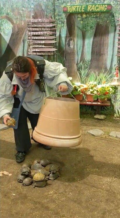
Historically, Irwindale has been shaped by its quarries, which have been significant to its economic development since the early 20th century. This history is celebrated and preserved in the city's cultural landscape. Another notable spot is the Santa Fe Dam Recreation Area, offering a serene escape with opportunities for fishing, hiking, and picnicking amidst its scenic backdrop. Irwindale also hosts the annual Renaissance Pleasure Faire, a lively festival that draws visitors with its medieval-themed entertainment and crafts. These attractions showcase the city's diverse offerings, making Irwindale a unique destination worth exploring.
Nearby cities include: Duarte, CA, Baldwin Park, CA, Vincent, CA, Vincent, CA, Bradbury, CA, Monrovia, CA, Azusa, CA, West Puente Valley, CA, Arcadia, CA, El Monte, CA.
Places in Irwindale
Dine and drink
Eat and drink your way through town.
Can't-miss activities
Culture, natural beauty, and plain old fun.
Places to stay
Hang your (vacation) hat in a place that’s just your style.
Advertisement


