Rogers, AR
Advertisement
Rogers, AR Map
Rogers is a US city in Benton County in the state of Arkansas. Located at the longitude and latitude of -94.141389, 36.329444 and situated at an elevation of 417 meters. In the 2020 United States Census, Rogers, AR had a population of 69,908 people. Rogers is in the Central Standard Time timezone at Coordinated Universal Time (UTC) -6. Find directions to Rogers, AR, browse local businesses, landmarks, get current traffic estimates, road conditions, and more.
Rogers, Arkansas, is a city rich in both history and modern attractions, nestled in the scenic Ozarks. Known for its pivotal role in the development of the region, Rogers was the location of the first Walmart store, which laid the foundation for the retail giant's global expansion. This historical touchpoint is commemorated at the Walmart Museum in nearby Bentonville, making Rogers an essential stop for those interested in the retail history of America. The city is also recognized for its vibrant downtown area, which has been revitalized to include a variety of boutiques, restaurants, and coffee shops, providing a charming atmosphere for both locals and visitors.
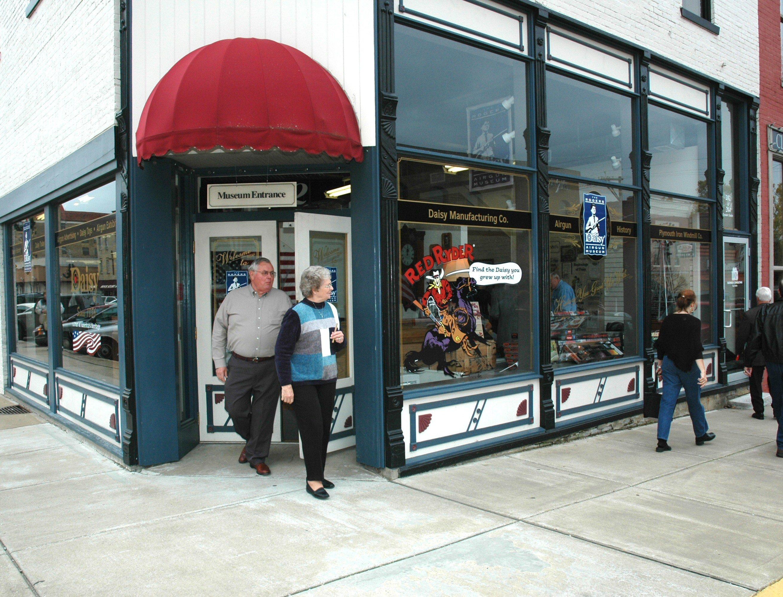
Popular attractions in Rogers include the Daisy Airgun Museum, which showcases the history of the iconic Daisy BB guns, and the Rogers Historical Museum, where visitors can explore exhibits detailing the city's development. The city's location near Beaver Lake offers ample outdoor recreation opportunities, such as fishing, boating, and hiking. Rogers is also home to the Pinnacle Hills Promenade, a major shopping destination that features a mix of national retailers and local shops. With its combination of historical significance and modern amenities, Rogers provides a diverse experience for travelers seeking both cultural insights and leisure activities.
Nearby cities include: Little Flock, AR, Lowell, AR, Bentonville, AR, Cave Springs, AR, Avoca, AR, Pea Ridge, AR, Centerton, AR, Elm Springs, AR, Springdale, AR, Bella Vista, AR.
Places in Rogers
Dine and drink
Eat and drink your way through town.
Can't-miss activities
Culture, natural beauty, and plain old fun.
Places to stay
Hang your (vacation) hat in a place that’s just your style.
Advertisement


