England, AR
Advertisement
England, AR Map
England is a US city in Lonoke County in the state of Arkansas. Located at the longitude and latitude of -91.967500, 34.544167 and situated at an elevation of 70 meters. In the 2020 United States Census, England, AR had a population of 2,477 people. England is in the Central Standard Time timezone at Coordinated Universal Time (UTC) -6. Find directions to England, AR, browse local businesses, landmarks, get current traffic estimates, road conditions, and more.
England, Arkansas, is a small city with a rich history tied to its agricultural roots. Established in the early 20th century, the city has long been a hub for farming, particularly in crops like cotton and soybeans. The community spirit is strong here, often reflected in local events and gatherings that celebrate the region's agricultural heritage. Visitors can expect a quaint, rural atmosphere where the pace of life is slower, offering a glimpse into the traditional farming lifestyle that has defined the area for generations.
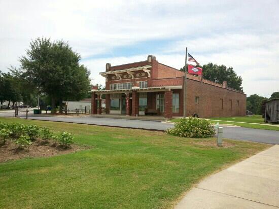
One of the notable spots in England is the England Historical Museum, which provides insights into the city's past and its development over the years. For those interested in outdoor activities, the nearby wildlife areas offer opportunities for fishing, hunting, and hiking, showcasing the natural beauty of the Arkansas landscape. The city also hosts several annual events that draw visitors, such as the England Christmas Parade, which highlights the tight-knit community and its festive spirit. Overall, England, Arkansas, offers a peaceful retreat with a touch of historical charm.
Nearby cities include: Keo, AR, Coy, AR, Tucker, AR, Allport, AR, Sherrill, AR, Humnoke, AR, Scott, AR, Hensley, AR, Redfield, AR, Wrightsville, AR.
Places in England
Dine and drink
Eat and drink your way through town.
Can't-miss activities
Culture, natural beauty, and plain old fun.
Places to stay
Hang your (vacation) hat in a place that’s just your style.
Advertisement


