Flagstaff, AZ
Advertisement
Flagstaff, AZ Map
Flagstaff is a US city in Coconino County in the state of Arizona. Located at the longitude and latitude of -111.631111, 35.199167 and situated at an elevation of 2,106 meters. In the 2020 United States Census, Flagstaff, AZ had a population of 76,831 people. Flagstaff is in the Mountain Standard Time timezone at Coordinated Universal Time (UTC) -7. Find directions to Flagstaff, AZ, browse local businesses, landmarks, get current traffic estimates, road conditions, and more.
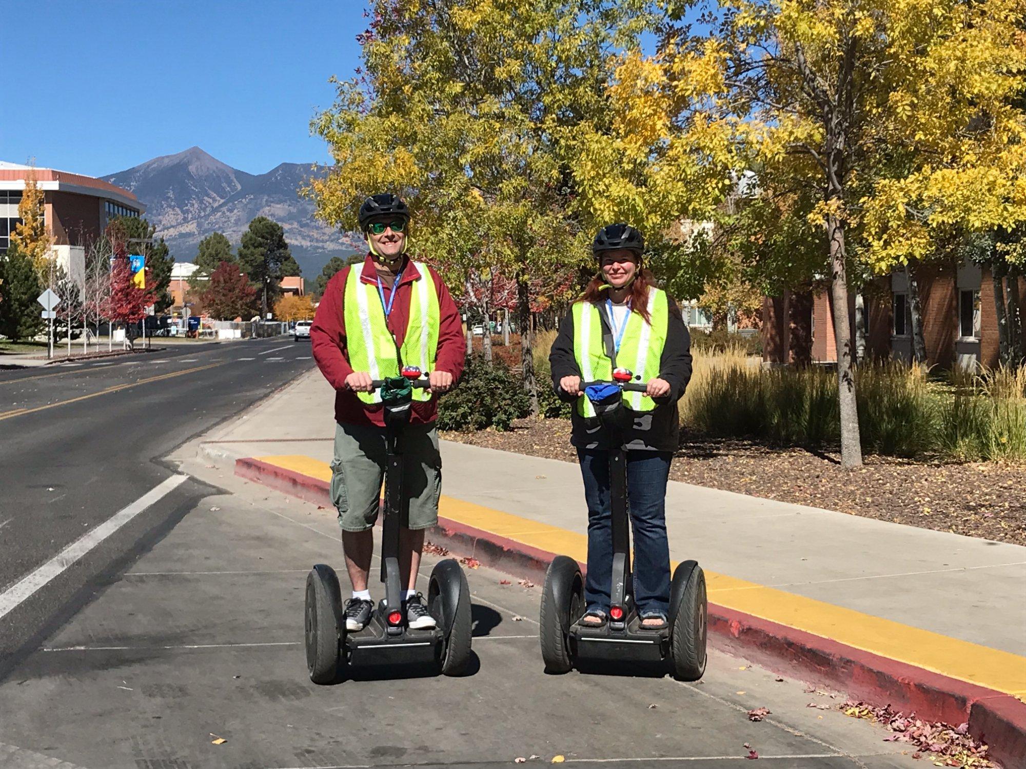
Flagstaff, nestled in the high country mountains of northern Arizona, is renowned for its rich blend of natural beauty, academic influence, and cultural history. Known as a gateway to the Grand Canyon, it offers a diverse array of landscapes, from the towering ponderosa pines of Coconino National Forest to the majestic San Francisco Peaks, the highest mountain range in Arizona. The city is home to the renowned Lowell Observatory, where Pluto was discovered, making it a significant site for astronomical research and enthusiasts. Flagstaff also serves as a hub for outdoor activities, attracting hikers, skiers, and nature lovers year-round.
The historic downtown area of Flagstaff offers a charming array of shops, restaurants, and breweries, all set against the backdrop of Route 66, whose nostalgia is palpable throughout the city. The Museum of Northern Arizona provides insight into the region's rich indigenous cultures and natural history, while the Arboretum at Flagstaff showcases the diverse plant life of the Colorado Plateau. Flagstaff's history is deeply intertwined with the railroad and lumber industries, which spurred its development in the late 19th century, and today, the city retains a vibrant blend of the old and new, drawing visitors who appreciate its unique mix of history, culture, and outdoor adventure.
Nearby cities include: Bellemont, AZ, Munds Park, AZ, Parks, AZ, Sedona, AZ, Village of Oak Creek, AZ, Williams, AZ, Leupp, AZ, Cornville, AZ, Clarkdale, AZ, Cottonwood, AZ.
Places in Flagstaff
Dine and drink
Eat and drink your way through town.
Can't-miss activities
Culture, natural beauty, and plain old fun.
Places to stay
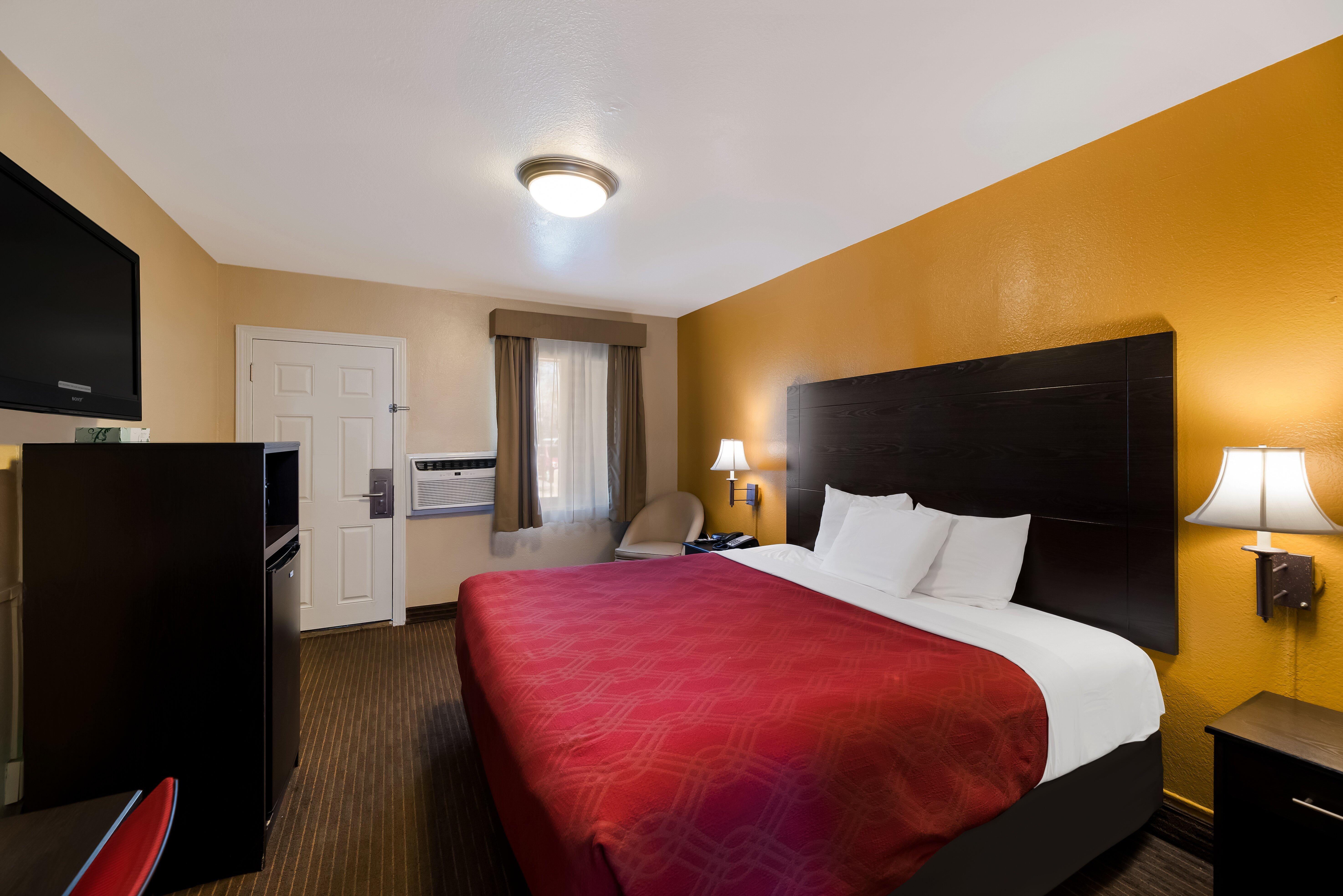
Hang your (vacation) hat in a place that’s just your style.
Advertisement


