Sitka, AK
Advertisement
Sitka, AK Map
Sitka is a US city in Sitka County in the state of Alaska. Located at the longitude and latitude of -135.334722, 57.053333 and situated at an elevation of 8 meters. In the 2020 United States Census, Sitka, AK had a population of 8,458 people. Sitka is in the Alaska Standard Time timezone at Coordinated Universal Time (UTC) -9. Find directions to Sitka, AK, browse local businesses, landmarks, get current traffic estimates, road conditions, and more.
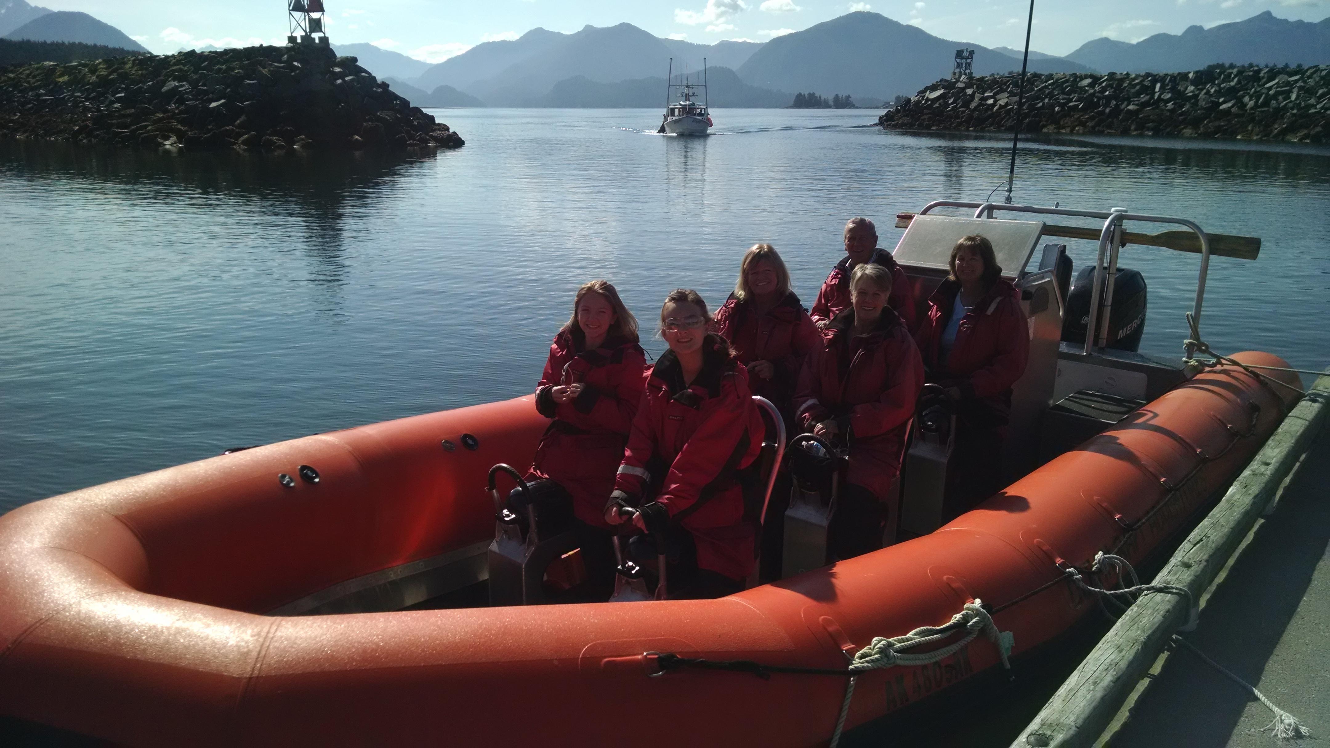
Sitka, located on Baranof Island in Alaska, is a city rich in history and natural beauty. Known for its stunning landscapes, Sitka is surrounded by the Tongass National Forest and offers breathtaking views of the Pacific Ocean and the surrounding mountains. This city is steeped in cultural heritage, being the site where Russia formally transferred Alaska to the United States in 1867, an event commemorated annually with Alaska Day celebrations. Sitka's Russian influence is evident in its architecture and attractions, such as the iconic St. Michael's Cathedral, a Russian Orthodox church that stands as a testament to its past.
Visitors to Sitka can explore the Sitka National Historical Park, which preserves the history of the Tlingit people and Russian settlers. The park features totem poles and scenic trails that lead through lush rainforests. The Alaska Raptor Center is another popular attraction, where injured birds of prey are rehabilitated, offering visitors a chance to learn about these majestic creatures. Additionally, the Sheldon Jackson Museum houses an impressive collection of Native Alaskan artifacts, providing insights into the region's indigenous cultures. With its blend of natural wonders and historical sites, Sitka offers a unique glimpse into the diverse heritage and stunning landscapes of Alaska.
Nearby cities include: Angoon, AK, Tenakee Springs, AK, Kake, AK, Port Alexander, AK, Pelican, AK, Hoonah, AK, Point Baker, AK, Kupreanof, AK, Petersburg, AK, Juneau, AK.
Places in Sitka
Dine and drink
Eat and drink your way through town.
Can't-miss activities
Culture, natural beauty, and plain old fun.
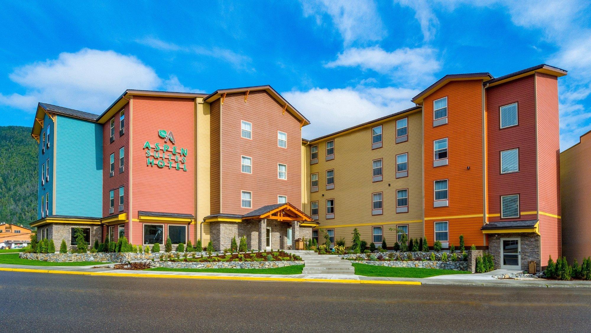
Places to stay
Hang your (vacation) hat in a place that’s just your style.
Advertisement


