Naukati Bay, AK
Advertisement
Naukati Bay, AK Map
Naukati Bay is a US city in Prince of Wales–Hyder Census Area in the state of Alaska. Located at the longitude and latitude of -133.184720, 55.873610 and situated at an elevation of 63 meters. In the 2020 United States Census, Naukati Bay, AK had a population of 142 people. Naukati Bay is in the Alaska Standard Time timezone at Coordinated Universal Time (UTC) -9. Find directions to Naukati Bay, AK, browse local businesses, landmarks, get current traffic estimates, road conditions, and more.
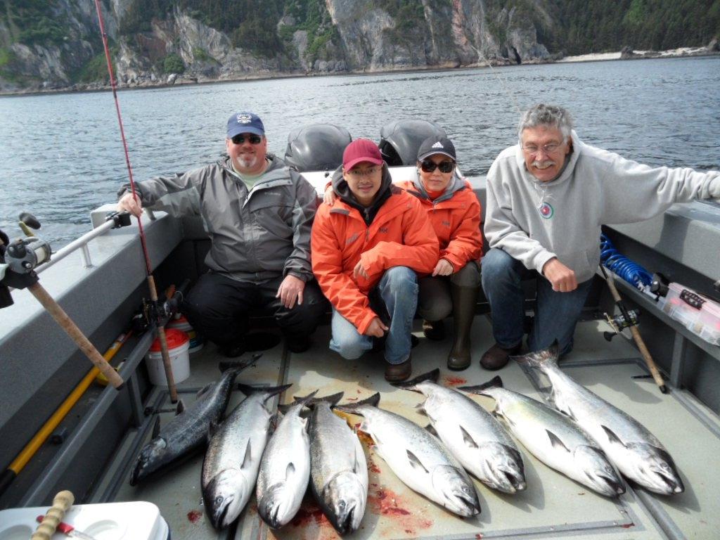
Naukati Bay, located in the state of Alaska, is primarily recognized for its rich natural surroundings and its role as a gateway to the stunning landscapes of Prince of Wales Island. Known for its fishing and timber industries, the area is a haven for outdoor enthusiasts, offering activities such as fishing, kayaking, and wildlife watching. The waters of Naukati Bay are teeming with salmon and halibut, attracting anglers from far and wide. The surrounding forests and waterways provide a serene backdrop for those seeking a quiet retreat in nature.
Though not a bustling metropolis, Naukati Bay features several points of interest for visitors. The Naukati School often serves as a community hub, hosting events and gatherings. The area's history is largely tied to its development as part of the timber industry, with logging operations playing a significant role in its economic past. Today, the community embraces a more sustainable approach, focusing on preserving the natural beauty that defines the region. For those interested in exploring the broader Prince of Wales Island, Naukati Bay serves as an ideal starting point, offering access to the island's diverse ecosystems and cultural sites.
Nearby cities include: Coffman Cove, AK, Klawock, AK, Craig, AK, Thorne Bay, AK, Hollis, AK, Point Baker, AK, Kasaan, AK, Hydaburg, AK, Wrangell, AK, Port Alexander, AK.
Places in Naukati Bay
Dine and drink
Eat and drink your way through town.
Can't-miss activities
Culture, natural beauty, and plain old fun.
Advertisement


